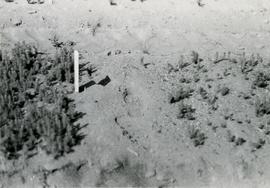
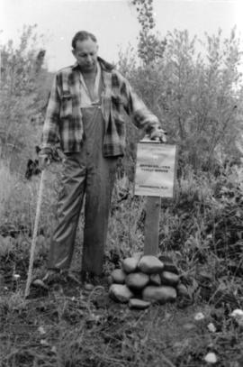
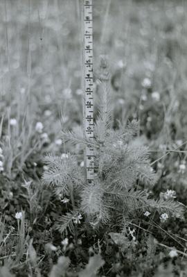
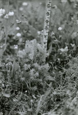
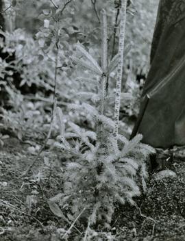
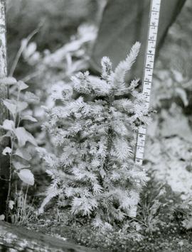
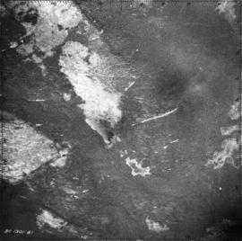
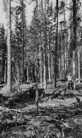
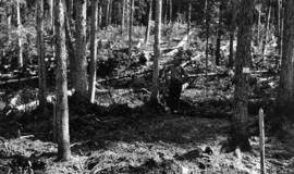
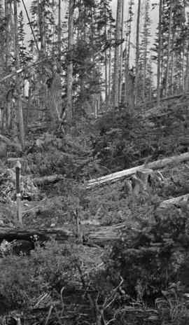
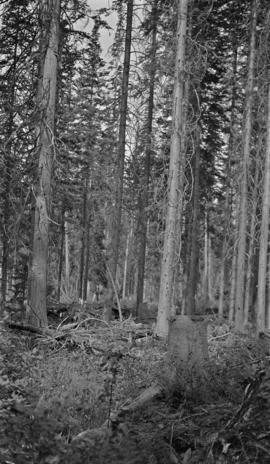
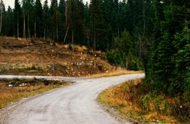
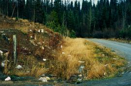
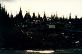
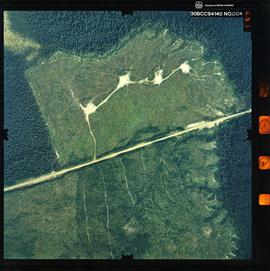
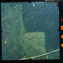
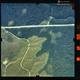
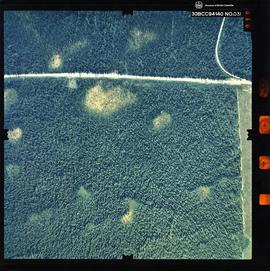
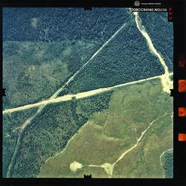
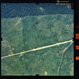
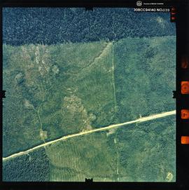
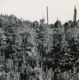
Caption describing photograph: "E.P. 646 Clearing at Aleza Lake for Provenance Plantation - As [2007.1.30.2.108] Note White Spruce regeneration badly infected by leader weevils and dense clumps of Twinberry."
Caption describing photograph: "E.P. 646 Clearing at Aleza Lake for Provenance Plantation - Typical ground condition, expect early establishment of Fireweed, grass & clover"
Caption describing photograph: "E.P. 646.3 Spruce Provenances - 2+0 White Spruce, Red Rock"
Caption describing photograph: "T.F.L. #30 - View of McGregor Plateau with McGregor Mountains on horizon, Fraser River with Limestone Creek in foreground."
Caption describing photograph: "T.F.L. #30 - Condition of 1965 pre-scarification on C.P. 58 (poor coverage), fair to good regeneration B-S [Alpine Fir-Spruce], still receptive."
Caption describing photograph: "T.F.L. #30 - Species Comparison - Typical first season leader (+/-12") on 2+1 Lodgepole Pine. Woodall Creek. High Site, outwash sands, after post-scarification."
Caption describing photograph: "Research Division Experimental Plot sign". Harry Coates stands beside the sign for scale.
Caption describing photograph: "E.P. 646.2 Aleza Lake - Sinclair Mills Provenance. Tree No. 2. Planted 1966."
Caption describing photograph: "E.P. 646.2 Aleza Lake - Doughty Provenance. Tree No. 4. Planted 1966."
Caption describing photograph: "E.P. 646.1 Buckhorn - Hixon Provenance. Tree No. 8 good growth. Planted 1965."
Caption describing photograph: "E.P. 646.1 Buckhorn - Hixon Provenance. Tree No. 7 Adeleges. Planted 1965."
Item is a 3.5" floppy labelled "Aleza Lake Stem Map Data – AutoCAD Release 14 – Northline 1998". Floppy contains the following file: mofcopy.dwg.
Photograph is one of six relating to Plot 108. Multiple copies of the photographs exist.
Map of Timber Sale X9696 shows the area for the TSX with the location of plots, roads, traverse posts, and the Forest Branch cabin. Location is 4 miles from the Myra Station of the Kettle Valley Railway.
Map of Timber Sale X9696 shows topography for the area. Location is 4 miles from the Myra Station of the Kettle Valley Railway.
Photographer's photo number R880. Caption on back of photograph states: "Taken from near S.E. corner (most easterly corner) of Plot 15. Exp. Plot 160. X9696. See sketch of plot."
Photographer's photo number R882. Caption on back of photograph states: "Photo no. 1. Subplot 13. X-9696. Exp. Plot 160. See sketch of plot for location of photo."
Caption on back of photograph states: "Facing N on Sub Plot 16 showing [Reproduction] coming up"
Caption on back of photograph states: "Facing N.W. on Sub Plot 10 showing patch of small timber left after logging still intact."
Floppy contains the following files: AL94ENV.DAT, AL94VEG.DAT, ALZZ95.DOC, GISDAT.XLS.
Item is a 3.5 in. floppy containing Excel 4.0 files for the Aleza Lake polygon attributes by photo number. Files include: ALEZAENV.DAT, ALEZAENV.DOC, ALEZAPRO.DOC, ALEZASS.SRT, ALEZAVEG.DAT, ALEZAVEG.DOC, EDATOPE.CDR, FIELDF.XLS, POLY059.XLS, POLY061.XLS, POLY063.XLS, POLY101.XLS, POLY103.XLS, POLY105.XLS, POLY107.XLS, POLY127.XLS, POLY140.XLS, POLY142.XLS, POLY144.XLS, POLY146.XLS, POLY148.XLS, PROFILE.CDR.
Photograph depicts the Aleza Lake regional district garbage dump in October 1992.
Photograph is a remote-sensing image of the Aleza Lake Research Forest from 1994.