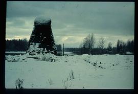
Image depicts a beehive burner covered in snow in Sinclair Mills, B.C. Map coordinates 54°01'17.4"N 121°40'53.0"W
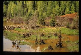
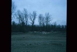
Image depicts a flooded area with an old sawdust pile in the background. Likely near McGregor, B.C.
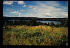
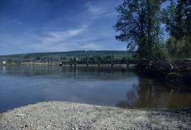
Image depicts the Fraser River, likely near the Hansard railroad bridge.
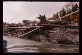
Image depicts numerous logs piled up on rocks in the Fraser River.
Image depicts the Northwood Pulpmill in Prince George, B.C. taken from above the Nechako River looking east. Map coordinates 53°56'00.0"N 122°44'29.7"W
Image depicts downtown Prince George taken from across the Nechako River looking south. Map coordinates 53°56'00.0"N 122°44'29.7"W
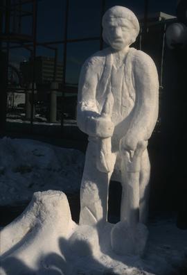
Image depicts a snow sculpture of a man with a shovel, possibly during the Winter City Conference, in Prince George, B.C. Taken at the Prince George Civic Center. Map coordinates 53°54'45.6"N 122°44'59.6"W
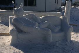
Image depicts a snow sculpture of the Mr. P.G. lounging on a couch, possibly during the Winter City Conference, in Prince George, B.C. Taken at the Prince George Civic Center. Map coordinates 53°54'45.6"N 122°44'59.6"W
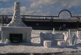
Image depicts a snow sculpted fire place and couch on a skating rink, possibly during the Winter City Conference, in Prince George, B.C. Taken at the Prince George Civic Center. Map coordinates 53°54'45.6"N 122°44'59.6"W
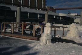
Image depicts two snow sculptures near a wooden bridge on an ice rink, possibly during the Winter City Conference, in Prince George, B.C. Taken at the Prince George Civic Center. Map coordinates 53°54'45.6"N 122°44'59.6"W
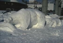
Image depicts a snow sculpture of a bear, possibly during the Winter City Conference, in Prince George, B.C. Taken at the Prince George Civic Center. Map coordinates 53°54'45.6"N 122°44'59.6"W
Image depicts the Foothills Bridge over the Nechako river on the Foothills Boulevard in Prince George, B.C. Map coordinates 53°56'52.5"N 122°48'59.9"W
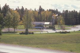
Image depicts Mr. P.G. and the Tourism Information site at the intersection of Highway 16 and 97. Map coordinates 53°53'46.5"N 122°46'00.7"W
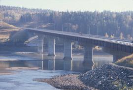
Image depicts the Yellowhead Bridge across the Fraser River. Map coordinates 53°54'45.2"N 122°43'27.9"W
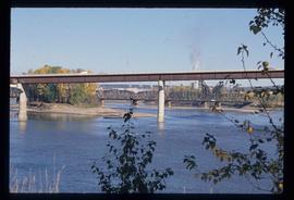
Image depicts the Fraser River and the Yellowhead and Grand Trunk Railway Bridges from LC Gunn Park. Map coordinates 53°54'30.7"N 122°43'27.0"W
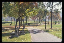
Image depicts the Fort George Par, which was renamed Lheidli T'enneh Memorial Park in 2015. Map coordinates 53°54'30.2"N 122°43'57.4"W
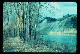
Image depicts the cutbanks on the other side of the Nechako, taken from the nature trail at Island Cache. Map coordinates 53°55'34.6"N 122°45'52.4"W
Image depicts the cutbanks on the other side of the Nechako, taken from the nature trail at Island Cache. Map coordinates 53°55'34.6"N 122°45'52.4"W
Image depicts the cutbanks on the other side of the Nechako, taken from the nature trail at Island Cache. Map coordinates 53°55'34.6"N 122°45'52.4"W
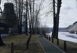
Image depicts a nature trail in Cottonwood Island Park by a beehive burner. Map coordinates 53°55'23.6"N 122°43'53.8"W
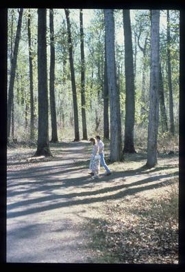
Image depicts a couple walking through a nature trail in Cottonwood Island Park. Map coordinates 53°55'23.6"N 122°43'53.8"W
Image depicts a nature trail along the Nechako River at Island Cache looking west with the cutbanks in the background. Map coordinates 53°55'36.2"N 122°45'11.8"W
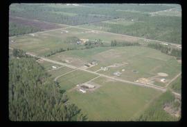
Image depicts a clearing in Prince George, B.C., possibly in the Pineview area.
Image depicts the Fraser River and the Grand Trunk Pacific Bridge from Cottonwood Island Park.
Image depicts a bulldozer and truck in an unknown location.
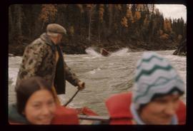
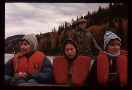
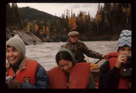
Image depicts a group of people in boats, with Ray Mueller steering one of them, on the Fraser River in the Grand Canyon, B.C.
Image depicts three unknown individuals in a boat on the Fraser River; the man steering the boat is Ray Mueller.
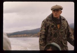
Image depicts Ray Mueller steering a boat on the Fraser River in the Grand Canyon, B.C.
Image depicts Ray Mueller steering a boat on the Fraser River in the Grand Canyon, B.C.
Image depicts a view of the Millar Addition suburb from Connaught Hill in Prince George, B.C.
Image depicts a view of the Millar Addition suburb in Prince George, B.C.
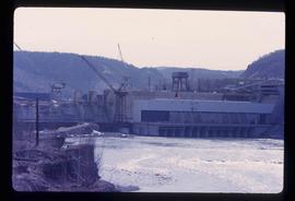
Image depicts the Peace Canyon Dam and generating station under construction on the Peace River.
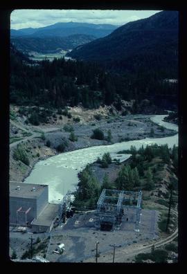
Image depicts the Lajoie hydroelectric generating station at the Lajoie Dam on the Bridge River (view of powerhouse and tailrace from top of dam).
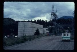
Image depicts the Bridge River No. 1 hydroelectric station on the shore of Seton Lake (rear side of powerhouse).
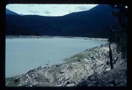
Image depicts Downton Lake, the Lajoie Dam reservoir.
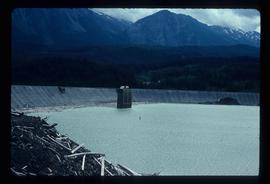
Image depicts the Lajoie Dam on the Bridge River from the upstream side.
Image depicts the Lajoie Dam on the Bridge River, upstream side, showing part of Downton Lake and, in the foreground, the spillway intake.
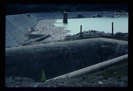
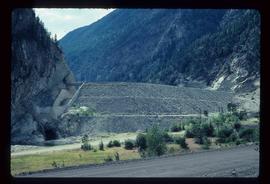
Image depicts the Terzaghi Dam viewed from the downstream side near Bralorne B.C.
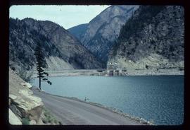
Image depicts the Terzaghi Dam on the Bridge River, looking from the upstream (reservoir) side located near Bralorne, B.C. The water is Carpenter Lake.
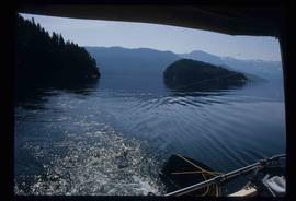
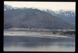
Image depicts what is possibly either the Hecate Strait or Minette Bay from somewhere near Kitimat, B.C.
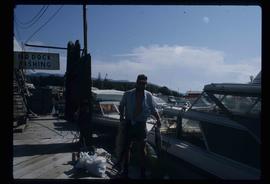
Image depicts a man holding two fish on a dock in Kitimat, B.C.
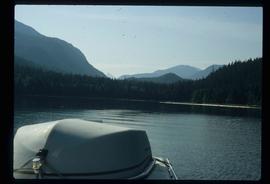
Image depicts what is possibly either the Hecate Strait or the Minette Bay from somewhere near Kitimat, B.C.
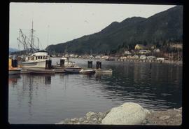
Image depicts a harbour in Kitimat, B.C.
Image depicts what is possibly the Alcan smelter in Kitimat, B.C.
Image depicts numerous docked boats, as well as many houses on the shore in the background; located in Kitimat, B.C.
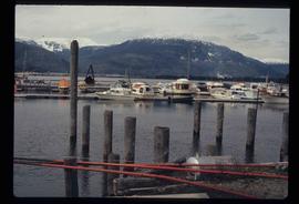
Image depicts numerous docked boats in Kitimat, B.C.
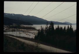
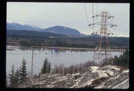
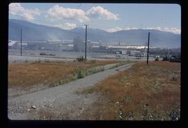
Image depicts a view of the area surrounding Kitimat, with power-lines in the foreground the city partially visible in the distance.
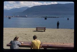
Image depicts two individuals seated at a picnic table while a third stands closer to the water on a beach somewhere in Kitimat, B.C. What appears to be a harbour can be seen on the water.
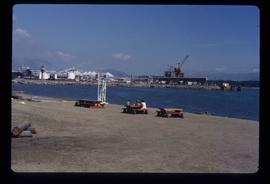
Image depicts three picnic tables, one of which is occupied with three unknown individuals, on a beach somewhere in Kitimat, B.C.
Image depicts the Alcan smelter in Kitimat, B.C.
