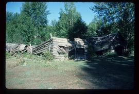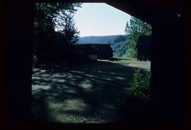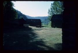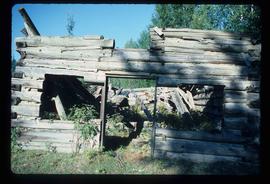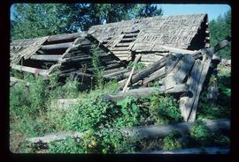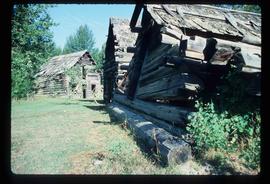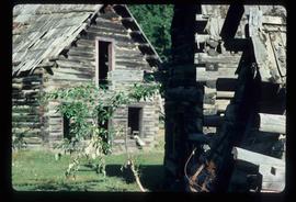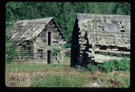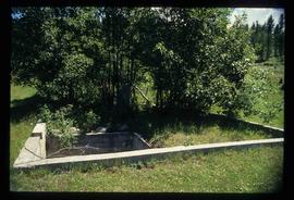
2012.13.1.31.07
·
Item
·
1985
Part of J. Kent Sedgwick fonds
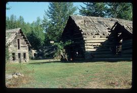
Image depicts several abandoned and collapsing cabins in Quesnelle Forks, B.C.