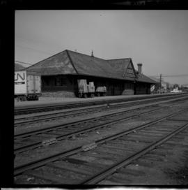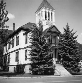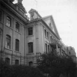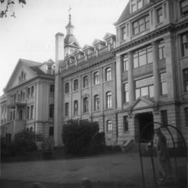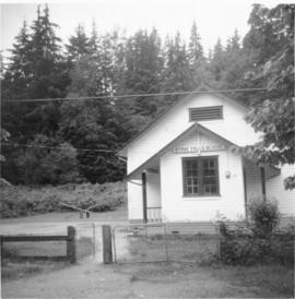
2013.6.36.1.076.15
·
Item
·
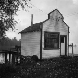
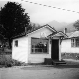
18 Sept. 1970
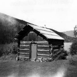
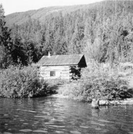
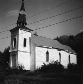
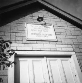
Part of David Davies Railway Collection
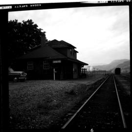
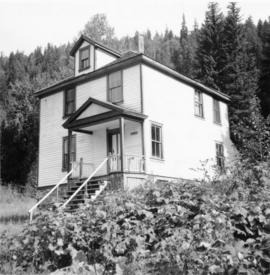
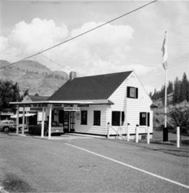
Photograph depicts a Canadian Customs House. The border crossing was only open between 8:00 a.m. and 5:00 p.m. daily.