2012.13.1.89.021
·
Item
·
Feb. 1973
Part of J. Kent Sedgwick fonds
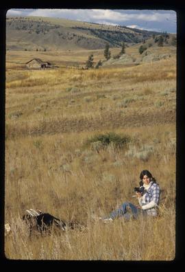
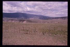
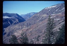
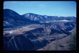
Image depicts a house in Upper Fraser with the residential area in the background. Map coordinates 54°07'02.8"N 121°56'37.5"W