2009.5.2.323
·
Pièce
·
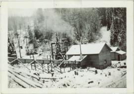
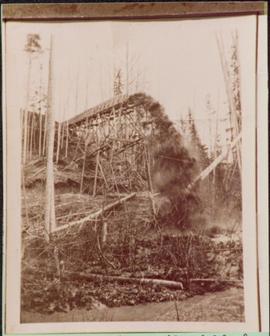
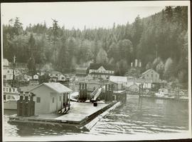
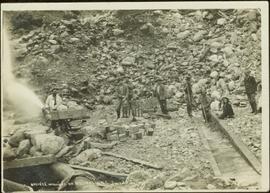
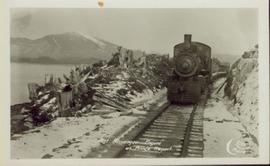
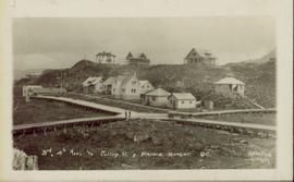
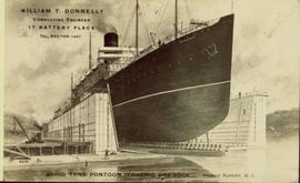
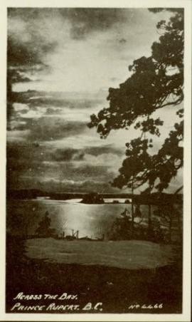
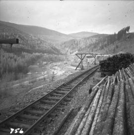
[ca.1910]
Fait partie de Taylor-Baxter Family Photograph Collection
Book was published by The Allen Photo Co., of Prince Rupert, B.C. and features printed photographs and captions documenting various aspects of Prince Rupert development from 1908 to 1910.