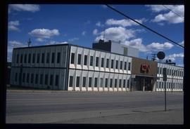
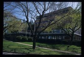
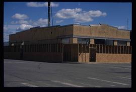
Image depicts the CN Building in Prince George, B.C.
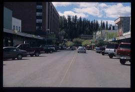
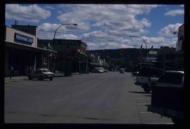
Image depicts a view of George Street with the Prince George City Hall at the corner of George Street and 7th Avenue.
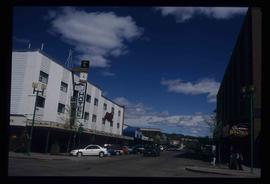
Image depicts a view of George Street with the Prince George Hotel.
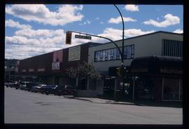
Image depicts a view of the corner of 3rd Avenue and Brunswick Street in Prince George, B.C.
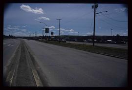
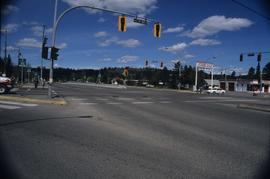
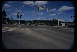
Image depicts a view along Highway 97 in Prince George, B.C.
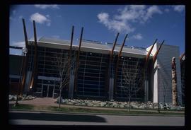
Image depicts the Two Rivers Art Gallery in Prince George, B.C.
Image depicts City Hall in Prince George, B.C.
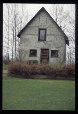
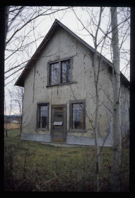
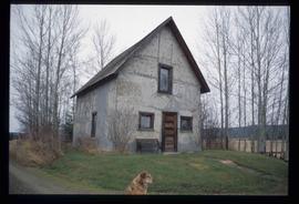
Image depicts an old Swedish style house somewhere in the Pineview subdivision in Prince George, B.C.
Image depicts an old Swedish style house somewhere in the Pineview subdivision in Prince George, B.C.
Image depicts an old Swedish style house somewhere in the Pineview subdivision in Prince George, B.C.
Videotape contains footage of: 23-Feb-01 - Residency Program continued - Riome-York, Sasha / 26-Feb-01 - Tabor Lake limnology class - students
Videotape contains footage of: 8-Mar-01 - Northwest campus in Terrace - King, Leslie
Videotape contains footage of: 13-Mar-01 - International Exchanges for recruitment video - Walraven, Kathryn / 13-Mar-01 - UNBC student on the University of the Arctic - Ellis, Gabriel / 13-Mar-01 - Stand-ups - Rob
Videotape contains footage of: 17-Aug-01 - shots from Oslo, regional development interview, shots of Storting - Bugge, Sverre / 18-Aug-01 - Shots at U of Tromso with Peter Arbo - Arbo, Peter
Videotape contains footage of: 2-Oct-01 - DV conversion of footage for recruitment video: Sandblast, arch field school, cross-country skiing
Videocassette contains stories created in February 2001 for either "Spotlight on UNBC" or "UNBC Insight".
Videocassette contains a story, possibly for "UNBC Insight", on cancer research by Chow Lee.
File consists of publications related to the North to the Future donor recognition event in 2001.
File consists of:
- Correspondence regarding the transfer of the Ministry of Forests records related to the Aleza Lake Experimental Station
- Aleza Lake Research Forest research notes on historical records
- Ministry of Forests Records Classifications
- Inventory report of BC Forest Service records relating to Aleza Lake
- Database print-out from the BC Forest Service Prince George Forest Region Research Installation Archive
- Ministry of Forests website print-outs from 2007, including a page on "Research Branch History"
This map is Schedule C of the 2001 Official Community Plan, Bylaw No. 7281 for the City of Prince George. This Schedule C map shows the long range land use for the City of Prince George.
Videocassette contains footage of Convocation 2001.
Film consists of clips featuring UNBC content that have been extracted from various Planet Education television show episodes. Includes clips of salmon research and pine beetle research.
Videotape contains footage of: 18-Jan-01 - Reactions to NMP announcement by local doctor - Sutter, Michelle / 20-Feb-01 - Northern Medical Program Planning Workshop - Fonnebo, Vinjar; Page, Gordon / 23-Feb-01 - Prince George Medical Residency Program - Wilson, Galt
Videotape contains footage of: 29-Mar-01 - Cancer Research - Lee, Chow; Pastor, Eric; Eberding, Andy
Videotape contains footage of: 25-May-01 - Convocation Tape II - Johnson, Chris; Ray, Oliver / 31-May-01 - Shawna Hartman fisheries research near Smithers - Hartman, Shawna / 1-Jun-01 - Nisga'a Convocation Tape I - Lincoln, Lillian
Videotape contains footage of: 1-Jun-01 - Nisga'a Convocation Tape II / 1-Jun-01 - Terrace grad ceremony - Dediluke, Margaret
Videotape contains footage of: 4-Jul-01 - Shots of campus in evening / 4-Jul-01 - Volleyball / 11-Jul-01 - Student DNA research for recruitment video - Catherall, Jennifer / 19-Jul-01 - Museum, Fort George Park, Cottonwood Island, Women's Soccer
Videotape contains footage of: 18-Sep-01 - Miller Consulting interview for recruitment video - Miller, Daniel / 21-Sep-01 - The President for the Recruitment video - Jago, Charles / 21-Sep-01 - shots on the Greenway of hikers, runners, and bikers / 25-Sep-01 - what to do in Prince George - Lam, Carson / 25-Sep-01 - Construction progress of Lab and Bentley Science Centre
Videotape contains footage of: 14-Dec-01 - moose footage shot by Roy Rea from locations east of Prince George - Rea, Roy
Videotape contains footage of: 10-Nov-01 - Northern Timberwolves Basketball
Image depicts the intersection of 5th Ave and Highway 97 looking northeast. Map coordinates 53°55'14.0"N 122°46'54.8"W
Image depicts the intersection of 5th Ave and Highway 97 looking northeast. Map coordinates 53°55'14.0"N 122°46'54.8"W
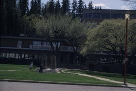
Image depicts Prince George City Hall. Map coordinates 53°54'46.3"N 122°44'41.9"W
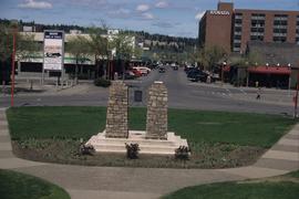
Image depicts a view of Prince George from City Hall looking northeast along George Street. Includes a back view of the Prince George cenotaph. Map coordinates 53°54'46.3"N 122°44'41.9"W
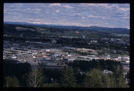
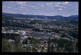
Image depicts Prince George, with the picture looking North-Northeast from University Way.
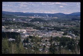
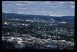
Image depicts Prince George from University Way, with the P.G.I pulp mill in the distance.
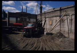
Image depicts an unknown building under construction at the corner of 6th Avenue and Dominion Street in Prince George, B.C.
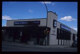
Image depicts the Bank of Montreal in Prince George, B.C.
Image depicts the Javva Mugga Mocha Cafe in Prince George, B.C.
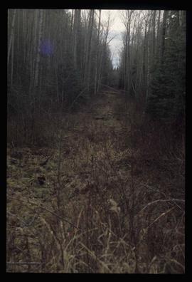
Image depicts a view of the south direction of the grade for the British Columbia Railway, which was formerly known as the Pacific Great Eastern until 1972. It is at an uncertain location, possibly near Woodpecker or Prince George.
File consists of a UNBC publication entitled "Coop Works".
Image depicts Prince George from University Way, with the P.G.I. Pulp Mill in the distance.
Image depicts Prince George from University Way, with the P.G.I. Pulp Mill in the distance.
Index print contains 25 photographs of a yard, a blue house and 5 portraits. The photographs were taken by Kent Sedgwick.
Photograph depicts a mayoral portrait of John Backhouse.
Image depicts an unknown building under construction at the corner of 6th Avenue and Dominion Street in Prince George, B.C.
Image depicts a view of 3rd Avenue with the Columbus Hotel prior to the fire that destroyed it in 2008.
Videocassette contains a "UNBC Insight" story on moose research by Roy Rea.
Videocassette contains a "UNBC Insight" story on moose research by Roy Rea.
Videocassette contains a story, possibly for "UNBC Insight", on Mim Hughes, Women's Studies scholarship winner.
