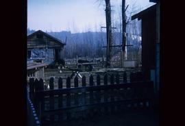
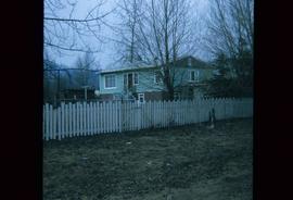
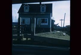
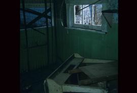
Image depicts a body of water in Island Cache. It is possibly a small section of the Nechako River.
Image depicts what appears to be an animal pen in Island Cache. There are two horses and a chicken in the enclosure, and a rundown building.
Image depicts a backyard filled with various items piled against a shed in Island Cache.
Image depicts a house in Island Cache.
Image depicts a house in disrepair, and possibly abandoned, in Island Cache.
Image depicts the interior of a house that appears to be abandoned and in disrepair in Island Cache.
Image depicts a street in Barkerville, near Wells, B.C.
Image depicts an old log building in Fort St. James; the sign on it reads "Clerk's Living Quarters, Later Used as Fort St. James First School."
Image depicts an unrestored, collapsing log-house in Barkerville, B.C.
Image depicts several unknown individuals in the China Town of Barkerville, B.C.
Image depicts a number of small houses at Island Cache.
Image depicts a stand of trees and a shed at Island Cache.
Image depicts what is likely an outhouse at Island Cache.
Image depicts a clearing at Island Cache.
Image depicts a grocery store at Island Cache.
Image depicts a house in Island Cache. There are several cars parked outside it.
Image depicts a boarded up building in Island Cache.
Image depicts two children standing near an old car in Island Cache.
Image depicts a number of sheds in Island Cache.
Image depicts a snow gauge at an uncertain location.
Image depicts a snow-covered cabin and a mountain in the distance. It is located somewhere near Birken, B.C.
Image depicts Pineview on Buckhorn Lake Road, Prince George, B.C.
Image depicts a house at an unknown location. It is possibly an old, Australian styled home.
Image depicts an old theatre owned by Paul Aivazoff in Prince Rupert, B.C. It opened in 1935 and was closed in 1981; it has since been renovated for retail use.
Image depicts a condominium, possibly in Prince Rupert, B.C.
Image depicts a house which is possibly in Prince Rupert, B.C.
Image depicts a row of houses; it is possibly in Prince Rupert, B.C.
Image depicts the rail yards in Prince Rupert.
Image depicts an old building with a sign labelling it as a "Dining Lounge," it is possibly in Prince Rupert, B.C.
Image depicts the historic Lightening Inn in Stanley, B.C.
Image depicts a street in Wells, B.C. The Wells Hotel is present in the image.
Image depicts the Wells Museum in Wells, B.C.
Image depicts the Cariboo Road passing through the Cottonwood House Historic Site.
Image depicts the Cottonwood House.
Image depicts the Watson Mansion.
Image depicts the post office in Wells, B.C.
Image depicts the Centennial Hall in Wells, B.C.
Image depicts the Cottonwood House.
Image depicts a crowd of people outside the Wells Hotel in Wells, B.C.
Image depicts a row of houses in Wells, B.C.
Image depicts a duplex in Wells, B.C.
Image depicts a street in Wells, B.C. The Sunset Theatre is located on the left of the image, and the Jack O' Clubs Hotel is the building with the green roof on the right. The hotel burned down on February 14th in 1994.