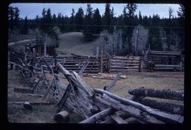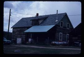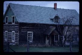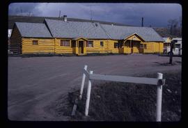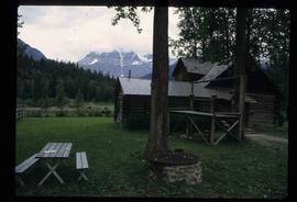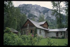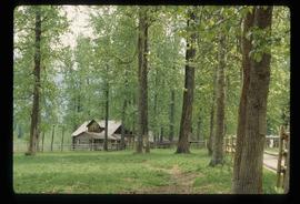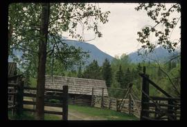
2012.13.1.65.76
·
Item
·
May 1984
Part of J. Kent Sedgwick fonds
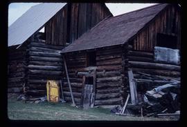
Image depicts an old, collapsing shack in Meldrum Creek, B.C.