File consists of notes and reproductions relating to the planning of the Prince George townsite. Includes material on surveyors, Fred Burden, and town planners working with the landscape architects Brett and Hall on the development of the townsite. File predominantly consists of Kent Sedgwick's handwritten notes on townsite planning in Prince George. Includes a clipped article from the Prince George Citizen newspaper "Town planners involved landscape architects" (4 Nov. 2006).
File consists of notes, clippings, and reproductions relating to Quesnel, Barkerville, and Wells. Includes: "An Historic Walk of Carson Avenue, Quesnel, B.C". pamphlet prepared by the Quesnel Branch Cariboo Historical Society (1990); "Wells, B.C". pamphlet by the Wells Historical Society (1980); "Cottonwood House Provincial Historic Park" pamphlet by the Province of British Columbia (1980); and vol. 1 of the Cariboo Gazette newspaper (2002). Also includes a map depicting Bowron Lake Park in British Columbia (1968).
File consists of notes and reproductions relating to the Royal Engineers and Henry Spencer Palmer, a British Army military engineer and surveyor. Henry Spencer Palmer was sent to British Columbia and completed a report in 1863 on Wiliams Lake, the Caribou Districts, and the Fraser River from Fort Alexandria to Fort George. File primarily consists of Kent Sedgwick's handwritten notes on Henry Palmer and his work in British Columbia.
File consists of maps depicting the Salmon River Portage area.
File consists of photographs depicting the Salmon River Portage. Includes depictions of potential past mill sites, overgrown fields, and derelict buildings.
File consists of reproductions and photocopies of articles on the history of city planning in North America. File predominantly consists of printed articles: "Encyclopedia of Urban Planning" by Arnold Whittick; "Radburn and the American Planning Movement: The Persistence of an Idea" by Eugenie Ladner Birch; "The Making of Urban America: A History of City Planning in the United States" by John W. Reps; and "The Story of the Planner's Journal 1915-1980" by Donald A. Krueckberg.
File consists of notes, clippings, and reproductions relating to research conducted by Kent Sedgwick on Simon Fraser, Canadian explorer and fur trader. Includes: "Simon Fraser: The Birth of Modern British Columbia" special edition issue of the Vancouver Sun newspaper (3 Jan. 2006).
File consists of notes, clippings, and reproductions relating to Simon Fraser, Canadian explorer and North West Company fur trader who charted much of what is now the Canadian province of British Columbia and founded a number of BC communities, including Prince George (Fort George). Includes a photograph depicting a bicentennial celebration at Fort George Park (1993).
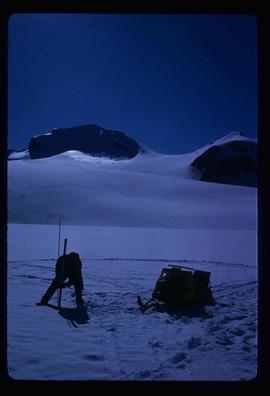
Image depicts an unidentified individual setting up some sort of pole in the snow for a process the slide labels as "snow sounding." The location is uncertain.
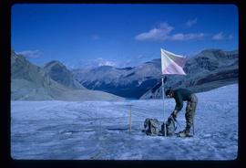
Image depicts an unidentified individual standing next to a marker and a stake at an uncertain location.
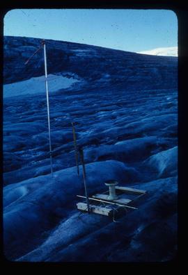
Image depicts objects, including a flag pole, that the slide labels as "survey equipment." The slide also places it as a "Peyto icefall," on the Peyto Galcier in the Banff National Park in Alberta, B.C.
File consists of notes and reproductions relating to the survey of Prince George. Includes material on survey plans, lots in Prince George, original town planning, subdivision plans, and Kent Sedgwick's handwritten notes on surveying and town planning in Prince George. File primarily includes photopied maps depicting town lots and planning in Prince George. Includes: "RE: Title Search for Fairgrounds" typescript letter from Kent Sedgwick to Dr. Dick Rowe (26 Apr. 1990) and "Map showing South Fort George, Fort George (Central) and the additions surveyed in 1910 or later" reproduced map from the Fort George Tribune newspaper.
File contains slides depicting old survey equipment and maps.
File consists of a first draft of Masters thesis entitled "The Grand Trunk Pacific in Prince George: A Study in Mismanagement, 1909-1918" by Rhys Pugh. Also includes printed emails and notes regarding the thesis.
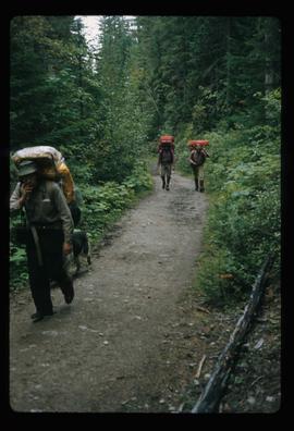
Image depicts three men and a dog on the hiking trail near Mt. Robson.
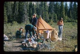
Image depicts three unknown individuals at a campsite.
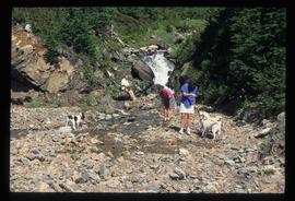
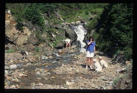
Image depicts three individuals and three dogs standing by a stream at an uncertain location, possibly somewhere in Bear Glacier Provincial Park. The woman in purple is possibly Sue Sedgwick.
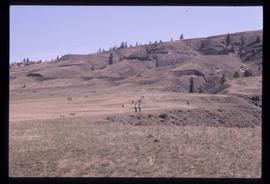
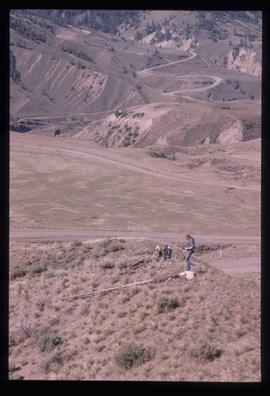
Image depicts a view of the scenery at an uncertain location with numerous individuals, possibly tourists, present. It is possibly somewhere near the Fraser River.
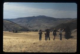
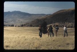
Image depicts a view of the landscape at an unknown location with a group of people, possibly tourists, present. It is possibly near the Fraser River.
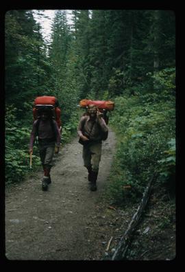
Image depicts two men on the hiking trail near Mt. Robson.
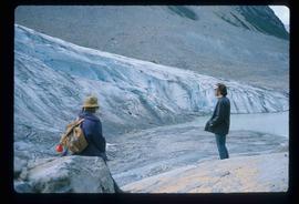
Image depicts two unknown individuals standing by a glacier somewhere in Mt. Robson Provincial Park.
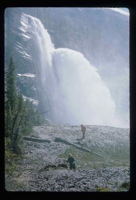
Image depicts two unknown individuals standing near a waterfall somewhere near Mt. Robson.
Image depicts two individuals and three dogs standing by a stream at an uncertain location, possibly somewhere in Bear Glacier Provincial Park. The woman in purple is possibly Sue Sedgwick.
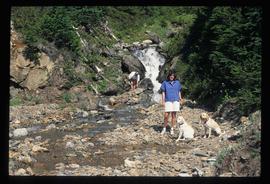
Image depicts two individuals and two dogs standing by a stream at an uncertain location, possibly somewhere in Bear Glacier Provincial Park. The woman in purple is possibly Sue Sedgwick.
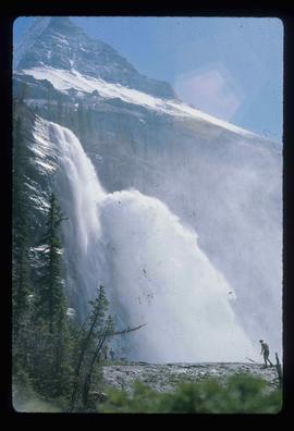
Image depicts a waterfall with a mountain peak in the background; it is most likely Mt. Robson.
File consists of notes and reproductions relating to the Yukon Telegraph Trail, which runs through British Columbia from Ashcroft in the south to Atlin in the North. The telegraph line was constructed by the Dominion Government Telegraph Service from 1898 to 1901. The groundwork for this telegraph line was laid by the Collins Overland Telegraph and the Western Union Telegraph (Russian-American Telegraph). File also includes photographs depicting a cabin at Bobtail Lake along the telegraph trail (1977).
