Affichage de 2133 résultats

Archival description
1985 résultats avec objets numériques Afficher les résultats avec des objets numériques
Livingston Springs
2012.13.1.4.25 · Pièce · 16 Mar. 1988
Fait partie de J. Kent Sedgwick fonds

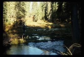
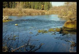
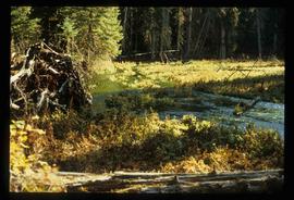
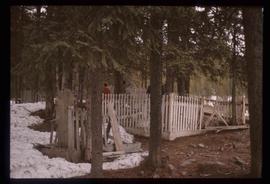
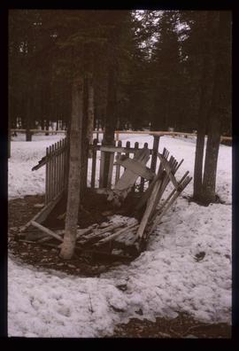
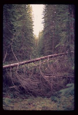
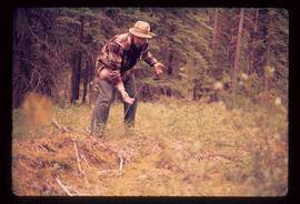
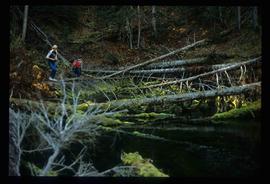
Image depicts numerous fallen trees and two unknown individuals somewhere in the Crooked River Provincial Park, near the Livingston Springs.

Livingston Springs
2012.13.1.4.26 · Pièce · 16 Mar. 1988
Fait partie de J. Kent Sedgwick fonds

Image depicts the Livingston Springs in the Crooked River Provincial Park, with an unknown individual present.

Red Rock (?)
2012.13.1.4.33 · Pièce · [2000?]
Fait partie de J. Kent Sedgwick fonds

Image depicts a road, forest, and hill rise in an uncertain location possibly near Red Rock, B.C.

Blackwater
2012.13.1.6.014 · Pièce · July 1973
Fait partie de J. Kent Sedgwick fonds

Image depicts a view of Blackwater in the country near Punchaw, B.C.

Cariboo Road
2012.13.1.6.029 · Pièce · May 1974
Fait partie de J. Kent Sedgwick fonds

Image depicts the old, grown-over Cariboo Road at an uncertain location.

Cariboo Road
2012.13.1.6.030 · Pièce · May 1974
Fait partie de J. Kent Sedgwick fonds

Image depicts the old, grown-over Cariboo Road at an uncertain location.

Cariboo Road
2012.13.1.6.031 · Pièce · June 1974
Fait partie de J. Kent Sedgwick fonds

Image depicts the Cariboo Road at Hat Creek Ranch, near Highway 99 on the way to Lillooet.

Mud (Chilako) River
2012.13.1.6.084 · Pièce · July 1977
Fait partie de J. Kent Sedgwick fonds

Image depicts Mud River, also known as the Chilako River, at Blackwater Road, Prince George, B.C.

Trees
2012.13.1.6.085 · Pièce · July 1977
Fait partie de J. Kent Sedgwick fonds

Image depicts numerous trees in an uncertain location; the slide itself is labelled "T.T. Cutting," possibly meaning "Telegraph Trail Cutting."

McLeod Lake
2012.13.1.6.091 · Pièce · Aug. 1979
Fait partie de J. Kent Sedgwick fonds

Image depicts McLeod Lake and several buildings along the shore.

Metlakatla
2012.13.1.6.095 · Pièce · Aug. 1979
Fait partie de J. Kent Sedgwick fonds

Image depicts buildings in the village community of Metlakatla, B.C.

Metlakatla
2012.13.1.6.096 · Pièce · Aug. 1979
Fait partie de J. Kent Sedgwick fonds

Image depicts buildings in the village community of Metlakatla, B.C.

River and Mountains
2012.13.1.6.101 · Pièce · Aug. 1980
Fait partie de J. Kent Sedgwick fonds

Image depicts a river, possibly either the Nechako or the Fraser, and a mountain range from an unknown location.

Houses on Stilts
2012.13.1.6.106 · Pièce · Nov. 1980
Fait partie de J. Kent Sedgwick fonds

Image depicts a number of houses built on stilts over a body of water in an uncertain location.

Houses
2012.13.1.6.151 · Pièce · Oct. 1980
Fait partie de J. Kent Sedgwick fonds

Image depicts a number of houses at an uncertain location, possibly Williams Lake, B.C.

Tomb Stone
2012.13.1.6.156 · Pièce · Nov. 1980
Fait partie de J. Kent Sedgwick fonds

Image depicts an old tomb stone at an uncertain location, possibly Fort St. James, B.C.

Cemetery
2012.13.1.6.157 · Pièce · Nov. 1980
Fait partie de J. Kent Sedgwick fonds

Image depicts a cemetery at an uncertain location, possibly in Fort St. James, B.C.

Lake
2012.13.1.6.162 · Pièce · Nov. 1980
Fait partie de J. Kent Sedgwick fonds

Image depicts a lake with numerous buildings along the shore. The location is uncertain.