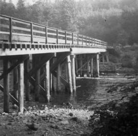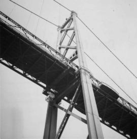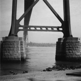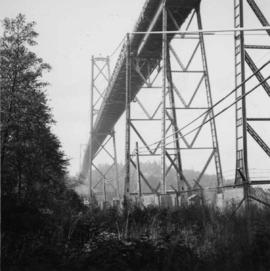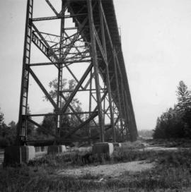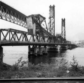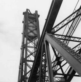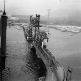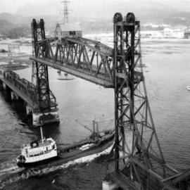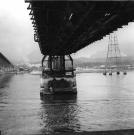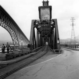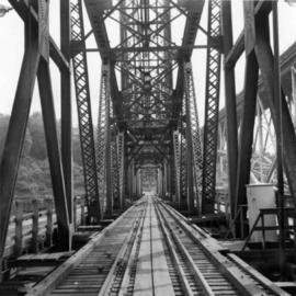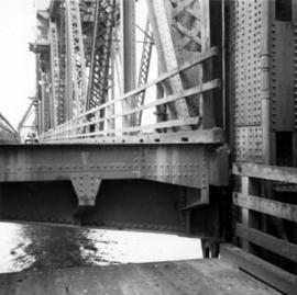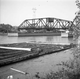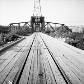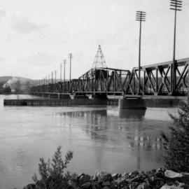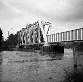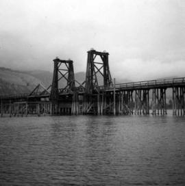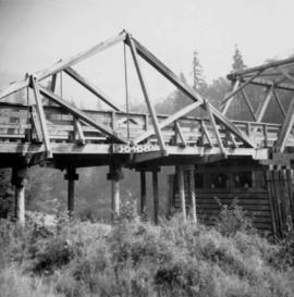
2013.6.36.1.001.16
·
Item
·
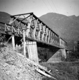
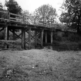
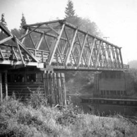
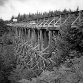
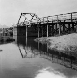
Aug. 1964
Parte de David Davies Railway Collection
Photograph depicts a wooden bridge over the Salmon River near Sayward, near Kelsey Bay, North Vancouver Island.