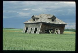
Image depicts an old, collapsing cabin which is sloped sideways. The location is uncertain.
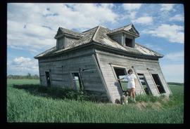
Image depicts Sue Sedgwick and a dog standing next to an old, collapsing cabin which is sloped sideways. The location is uncertain.
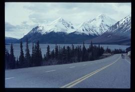
Image depicts the road to Skagway, Alaska. Possibly located on the Klondike Highway in British Columbia with Tutshi Lake on the left.
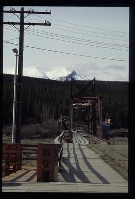
Image depicts a railway bridge, possibly in the small town of Fraser, located on the Klondike Highway in B.C.
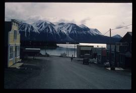
Image depicts Atlin Lake as well as a small section of Atlin, B.C. The mountain is possibly Atlin Mountain.
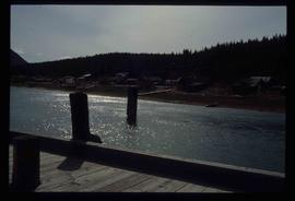
Image depicts what appears to be a small community on the shore of a lake. The location is uncertain.
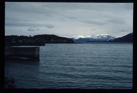
Image depicts Atlin Lake.
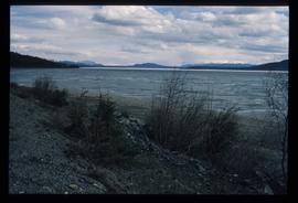
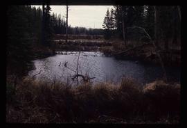
Image depicts a lake somewhere along what is possibly the Atlin Road to Atlin, B.C.
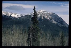
Image depicts a mountain somewhere along what is possibly the Atlin Road.
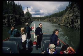
Image depicts several unidentified individuals on a boat in the Miles Canyon near Whitehorse Y.T.
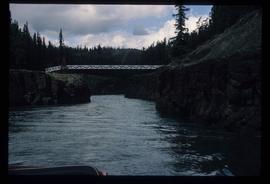
Image depicts the Robert Lowe Bridge, built in 1922, in the Miles Canyon near Whitehorse Y.T.
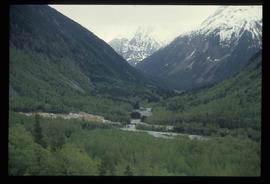
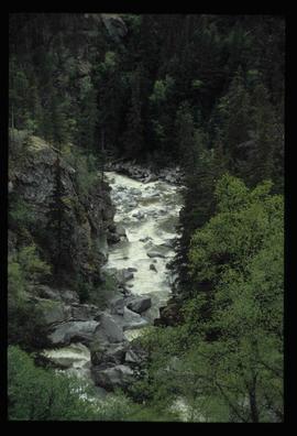
Image depicts a view of a forested, mountainous area and a river, somewhere along the White Pass railway. The slide is labelled "begin climb," suggesting the image was taken at the beginning of the White Pass Train's ascent into the mountains.
Image depicts a stream somewhere along the White Pass railway.
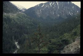
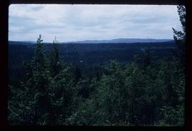
Image depicts a view of a forested valley in the mountains somewhere along the White Pass railway.
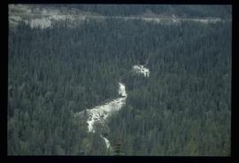
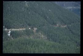
Image depicts a view of a forest and river somewhere along the White Pass railway. The thin line in the mountain side is possibly a highway.
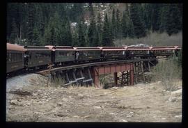
Image depicts the White Pass Train crossing over a railway bridge at an uncertain location.
Image depicts another train on the White Pass railway along a forested mountain side.
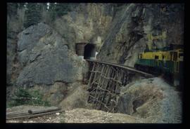
Image depicts the White Pass Train entering a tunnel in the mountain side.
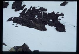
Image depicts a patch of snow-covered ground with a sign that reads "Trail of 98," somewhere along the White Pass railway.
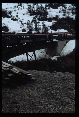
Image depicts the White Pass Train crossing over a railway bridge at an uncertain location in the mountains.
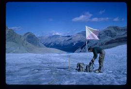
Image depicts an unidentified individual standing next to a marker and a stake at an uncertain location.
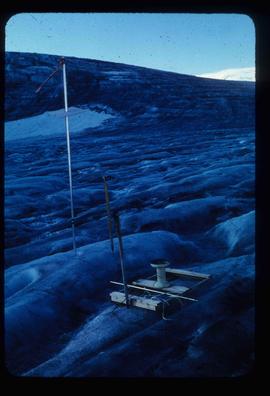
Image depicts objects, including a flag pole, that the slide labels as "survey equipment." The slide also places it as a "Peyto icefall," on the Peyto Galcier in the Banff National Park in Alberta, B.C.
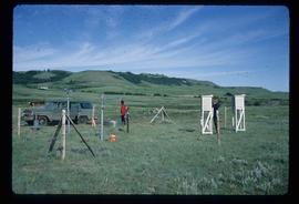
Image depicts two unidentified individuals and a van on a farm at an uncertain location, possibly a place called Cypress Hill, with an atmometer and a sunshine recorder.
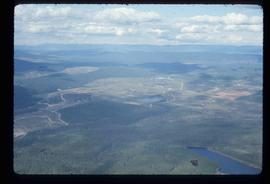
Image depicts an aerial view of areas that have been used for logging around Prince George, B.C.
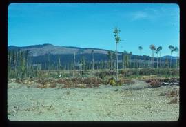
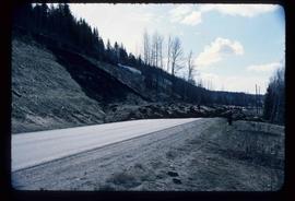
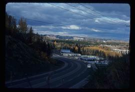
Image depicts a highway, and a section of mountain in the background which is bare due to clear-cut logging. It is possibly somewhere near Prince George, B.C.
Image depicts a logging area, and a section of mountain in the background which is bare due to clear-cut logging. The slide is also labelled "logging show." It is possibly somewhere near Prince George, B.C.
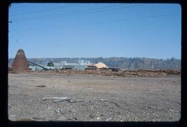
Image depicts a saw mill, possibly Lakeland Mills, with a beehive burner and numerous piles of logs in the foreground, in Prince George, B.C.
Image depicts logs being stripped of their bark at a saw mill in Prince George, B.C.
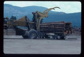
Image depicts a piece of heavy machinery lifting numerous logs off the back of a logging truck. It is likely located in Prince George, B.C.
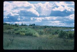
Image depicts the shore line and surrounding land of a lake or river at an airport, possibly in Prince George, B.C.
Image depicts a cutbank on the Nechako River in Prince George, B.C.
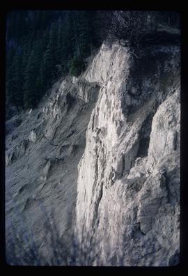
Image depicts an earth flow north of Stone Creek, B.C.
Image depicts Tabor Mountain in the distance, located in Prince George, B.C.
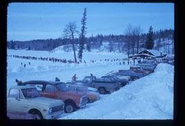
Image depicts a long line of people cross country skiing somewhere on Tabor Mountain in Prince George, B.C.
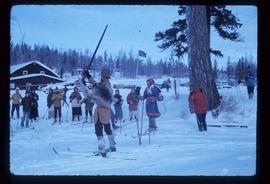
Image depicts a skier in a costume with a fake sword, somewhere on the Birchleg Ski route on Tabor Mountain in Prince George, B.C.
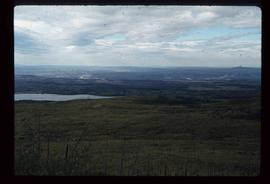
Image depicts the area surrounding Tabor Mountain. Prince George is slightly visible on the left side of the image in the background.
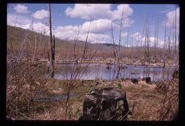
Image depicts a forest of dead trees on the slopes of Tabor Mountain in Prince George, B.C.
Image depicts a the Cottonwood Island Nature Park sign and map in Prince George, B.C.
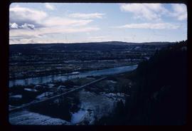
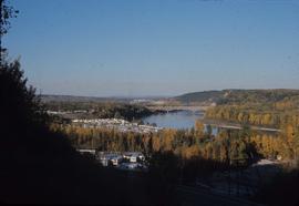
Image depicts a view of Prince George from the cutbanks on the Nechako river.
Image depicts a view of Peden Hill in Prince George, B.C.
Image depicts Prince George from the view of Peden Hill.
Image depicts a gauging station at Shelley, B.C.
Image depicts a view of Prince George from Gunn Point in the L.C. Gunn Park looking north. Map coordinates 53°54'26.2"N 122°43'35.8"W.
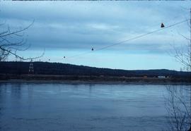
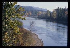
Image depicts a river, possibly the Nechako, in Prince George, B.C. Possibly taken from the Foothills Bridge.
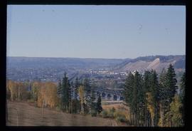
Image depicts the Grand Trunk Railway bridge across the Fraser River. Map coordinates 53°54'29.0"N 122°42'06.5"W
Image depicts Prince George, possibly with the Northwood Pulpmill in the background.
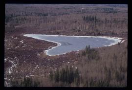
Image depicts Haldi Lake near Prince George, B.C.
Image depicts Eskers Park, near Prince George, B.C.
Image depicts the Northwood Pulpmill in Prince George, B.C. taken from above the Nechako River looking east. Map coordinates 53°56'00.0"N 122°44'29.7"W
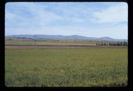
Image depicts a view of Blackwater in the country near Punchaw, B.C.
