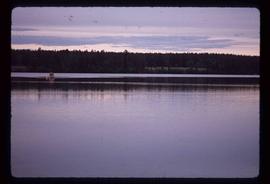
2012.13.1.51.046
·
Item
·
May 1973
Part of J. Kent Sedgwick fonds
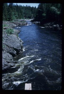
Image depicts a boat on Babine Lake, taken from Granisle, B.C.