File consists of notes and a reproduced map relating to Carrier Lake in the Omineca region, 35 km east from Fort St. James.
File consists of notes, clippings, and reproductions relating to the Cariboo region of British Columbia. Includes: "Walking Tour of Historic Clinton" pamphlet prepared by Clinton Museum Society and Clinton & District Chamber of Commerce (1980); "Central Cariboo British Columbia, Canada" pamphlet approved by Tourism British Columbia (2010); and "Cariboo field trip" duotang with typescript notes (1978). Also includes photographs depicting Quesnel Forks, British Columbia (2010).
File consists of notes and reproductions relating to Brett & Hall landscape architecture and urban planning in Canada. File predominantly consists of photocopies of articles relating to urban planning, including "The Influence of Thomas Adams and the British New Towns Movement in the Planning of Canadian Resource Communities" by Oiva Saarinen; "Thomas Adams and the Commission of Conservation" by Alan H. Armstrong; "The Laying Out of Towns" by W.H. Dorsey; "The Relation of the City Engineer to Public Parks" by John C. Olmsted; "The Planning of Company Communities in the Lake Superior Mining Region" by Arnold R. Alanen; and "Planning the Canadian Environment" by L.O. Gertler.
File consists of notes and reproductions relating to the Canadian Pacific Railway, colonization and immigration, and the 4th Duke of Sutherland.
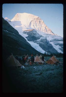
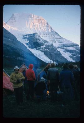
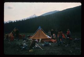
Image depicts a camp of people with Mt. Robson and the Berg Glacier in the background.
Image depicts a camp of people with Mt. Robson and the Berg Glacier in the background.
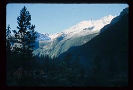
Image depicts a camp and what is likely Mt. Robson in the background.
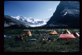
Image depicts a campsite somewhere near Berg Lake.
Image depicts a group of individuals at camp somewhere in Mt. Robson Provincial Park.
File consists of notes and reproductions relating to soldier land settlement in northern British Columbia following the First World War. Includes material regarding the British Columbia Land Settlement Act; the allotment of land for Prince George; and the opening of reserved lands for veterans. Includes a printed article entitled "Soldiers, Settlement and Development in British Columbia, 1915-1930" by Paul Koroscil (2000).
File consists of notes, clippings, and reproductions relating to the British Columbia Express Company. Barnard's Express, later known as the British Columbia Express Company or BX, was a pioneer transportation company that served the Cariboo and Fraser-Fort George regions in British Columbia, Canada from 1861 until 1921.
File consists of notes and reproductions relating to the boundary survey done by A.O. Wheeler, who was employed by British Columbia Government as a surveyor in 1922 to survey the boundary between British Columbia and Alberta.
File consists of notes and reproductions relating to Brett and Hall city planning work for Prince George. Brett & Hall were landscape architects from Boston, MA who designed the original plan for Prince George, including features such as the Crescents neighbourhood.
File consists of printed emails and typed documents relating to Brett & Hall and an exhibit for the National Gallery of Canada. Brett & Hall were landscape architects from Boston, MA who designed the original plan for Prince George, including features such as the Crescents neighbourhood.
File consists of notes and reproductions relating to bibliographic references about Fort Alexandria (later renamed Alexandria). Fort Alexandria was a trading post, ferry site, and steamboat landing in the North Cariboo, 45 km south of Quesnel.
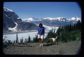
Image depicts Sue Sedgwick with a dog, standing with the Bear Glacier in the background.
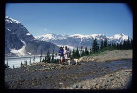
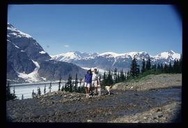
Image depicts Sue and Kent Sedgwick with two dogs, standing with the Bear Glacier in the background.
Image depicts Sue and Kent Sedgwick with two dogs, standing with the Bear Glacier in the background.
File consists of notes, letters, and reproductions relating to the "Arrival of Steel" CN Railway plaque in Prince George. Includes: "Invitation" from the City of Prince George for the unveiling of the CN plaque (27 Jan. 1989) and correspondence letters between CN and the City of Prince George (1987-1989). Also includes photographs depicting the CN plaque and the unveiling ceremony (Jan. 1989).
File consists of reproduced copy of "To the Memory of Alexander Mackenzie's Granddaughter and last Descendant Mrs. Heald (Alexandra Isabel Mackenzie)" originally published in 1933.
File consists of notes, clippings, and reproductions relating to the new Alexander Mackenzie monument in Fort George Park (renamed Lheidli T'enneh Memorial Park). Includes: "British Columbia Heritage Brigade Journey" pamphlet from Parks Canada and Canoe Sport B.C. (1985); "Alexander Mackenzie Trail Association" newsletter No. 9 (1987); "Alexander Mackenzie Voyageur Association" newsletter No. 36 (1994); and correspondence letters between John D. Adams, Supervisor of Interpretation and Heritage Site operations for the Province of British Columbia and Kent Sedgwick (Apr.- May 1986). Also includes photographs depicting the new Alexander Mackenzie monument and people at the unveiling (1985).
File consists of notes, clippings, and reproductions relating to the Alexander Mackenzie monument in Prince George. Includes a photograph depicting Judge Howay at the unveiling of the original National Historic Monument to Alexander Mackenzie in Prince George on 13 June 1925 (reproduced 2009).
File consists of bound documents, plans, and reproductions. Includes: "Public input summary" spiral bound book from Parks Canada (Dec. 1985) and "Alexander Mackenzie Heritage Trail" bound book published by Parks Canada (17 July 1985).
Subseries consists of material created and collected by Kent Sedgwick during his involvement with the Alexander Mackenzie Heritage Trail Association. Sedgwick was the treasurer and later the president of the Alexander Mackenzie Voyageur Route Association. The association was formed to create the first official heritage trail in British Columbia. The trail is now called the Nuxalk-Carrier Grease Trail and is part of the route across Canada followed by Alexander Mackenzie in 1789 to 1793. The association aided in having the route recognized by each provincial government and the federal government. The files primarily consist of management plans, summary documents, booklets, and pamphlets created by the association, the provincial government, and Parks Canada.
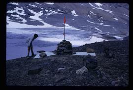
Image depicts a marker for aerial photography at an uncertain location. The slide labels it as "Elizabeth Station."
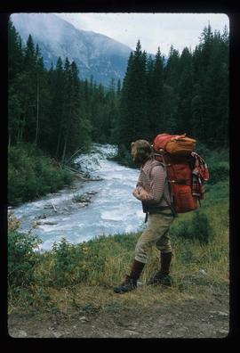
Image depicts a man on the hiking trail near Mt. Robson, with a river in the background; it is possibly the Robson River.
File consists of reproductions relating to the 4th Duke of Sutherland, Cromartie Sutherland-Leveson-Gower (1851-27 June 1913).
File consists of notes and reproductions relating a 1913 amendment to the Land Act, which is the British Columbia legislation used by the government to transfer land to the public for community, industrial, or business use. The 1913 amendment stated that land would be free to settlers with proof of three years residence or pre-empting unsurveyed or crown land after March 1913. File primarily consists of photocopied newspaper articles discussing the amendment.
