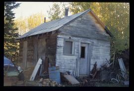
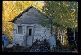
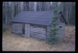
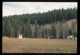
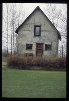
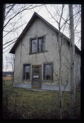
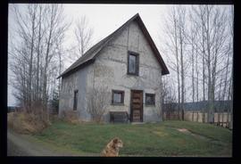
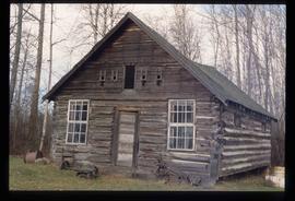
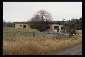
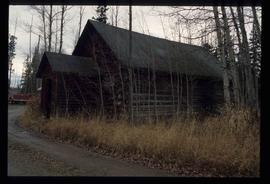
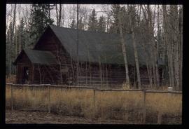
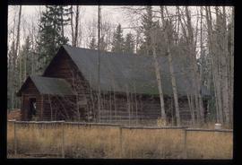
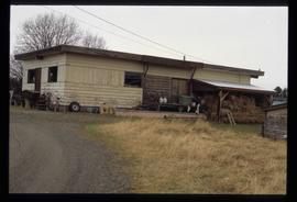
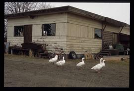
Image depicts the teacherage for the Salmon School, located in the Prince George vicinity.
Image depicts the teacherage for the Salmon School, located in the Prince George vicinity.
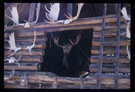
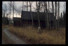
Image depicts a wood cabin with antlers and a moose head somewhere in Mud River, B.C.
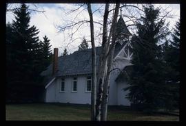
Image depicts St. Mark's Anglican Church in Woodpecker, B.C.
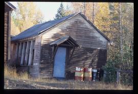
Image depicts an old shed in Woodpecker, B.C.
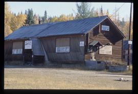
Image depicts the Buckhorn Snowmobile Club, though it was formerly the Buckhorn school.
Image depicts the annex for the Buckhorn Snowmobile club.
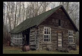
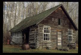
Image depicts a log cabin, possibly in Beaverly.
Image depicts the school site in Stoney Creek.
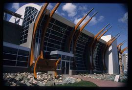
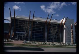
Image depicts the Two Rivers Art Gallery in Prince George, B.C.
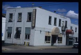
Image depicts the La Tienda Hair and Nail Salon on an uncertain street somewhere in Prince George, B.C.
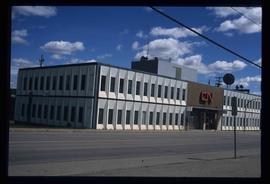
Image depicts the CN Building in Prince George, B.C.
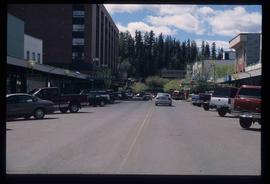
Image depicts a view of George Street with the Prince George City Hall at the corner of George Street and 7th Avenue.
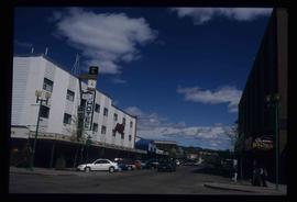
Image depicts a view of George Street with the Prince George Hotel.
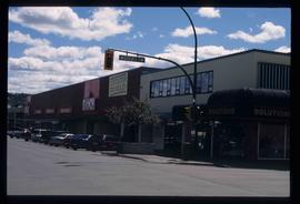
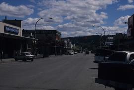
Image depicts a view of the corner of 3rd Avenue and Brunswick Street in Prince George, B.C.
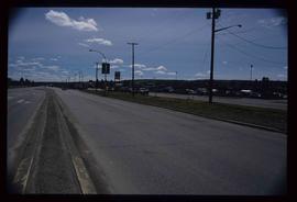
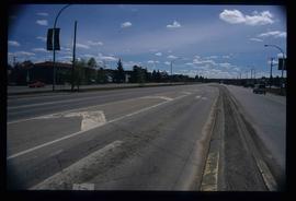
Image depicts a view along Highway 97 in Prince George, B.C.
Image depicts the Two Rivers Art Gallery in Prince George, B.C.
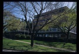
Image depicts City Hall in Prince George, B.C.
Image depicts an old Swedish style house somewhere in the Pineview subdivision in Prince George, B.C.
Image depicts an old Swedish style house somewhere in the Pineview subdivision in Prince George, B.C.
Image depicts an old Swedish style house somewhere in the Pineview subdivision in Prince George, B.C.
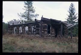
Image depicts an old, collapsing cabin at an uncertain location; possibly Woodpecker B.C.
Image depicts a cookhouse at an uncertain location.
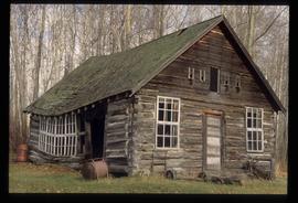
Image depicts a log cabin in Beaverly.
Image depicts a log cabin in Beaverly.
Image depicts a log cabin in Beaverly.
Image depicts a log cabin, possibly in Beaverly.
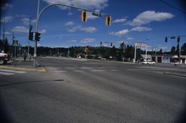
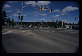
Image depicts the intersection of 5th Ave and Highway 97 looking northeast. Map coordinates 53°55'14.0"N 122°46'54.8"W
Image depicts the intersection of 5th Ave and Highway 97 looking northeast. Map coordinates 53°55'14.0"N 122°46'54.8"W
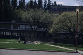
Image depicts Prince George City Hall. Map coordinates 53°54'46.3"N 122°44'41.9"W
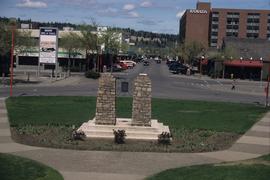
Image depicts a view of Prince George from City Hall looking northeast along George Street. Includes a back view of the Prince George cenotaph. Map coordinates 53°54'46.3"N 122°44'41.9"W
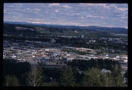
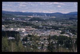
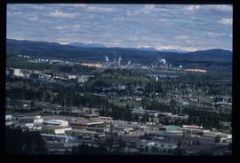
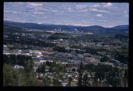
Image depicts Prince George, with the picture looking North-Northeast from University Way.
Image depicts Prince George from University Way, with the P.G.I pulp mill in the distance.
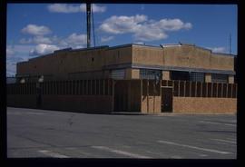
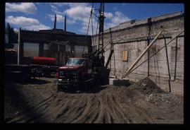
Image depicts an unknown building under construction at the corner of 6th Avenue and Dominion Street in Prince George, B.C.
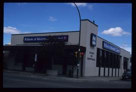
Image depicts the Bank of Montreal in Prince George, B.C.
Image depicts an old, collapsing cabin at an uncertain location; possibly Woodpecker B.C.
Image depicts a cookhouse at an uncertain location.
Image depicts a cookhouse at an uncertain location.
Image depicts a log cabin in Beaverly.
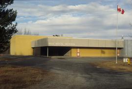
Image depicts the Red Rock School.
Image depicts Prince George from University Way, with the P.G.I. Pulp Mill in the distance.
Image depicts Prince George from University Way, with the P.G.I. Pulp Mill in the distance.
Image depicts an unknown building under construction at the corner of 6th Avenue and Dominion Street in Prince George, B.C.
Image depicts a view of 3rd Avenue with the Columbus Hotel prior to the fire that destroyed it in 2008.
Image depicts a collapsed shack somewhere near Woodpecker, B.C.
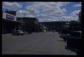
Image depicts 3rd Ave in Prince George, B.C. Map coordinates 53°55'01.9"N 122°44'48.7"W
Image depicts a section of Highway 97 looking south. Map coordinates 53°55'10.3"N 122°46'54.9"W
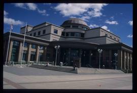
Image depicts the Courthouse in Prince George, B.C.
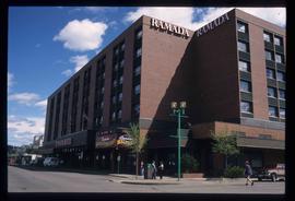
Image depicts the Ramada Hotel in Prince George, B.C.
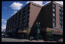
Image depicts the Ramada Hotel in Prince George, B.C.
