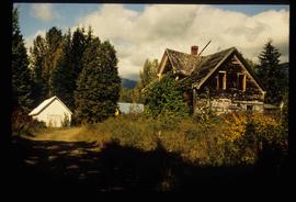
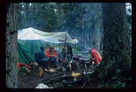
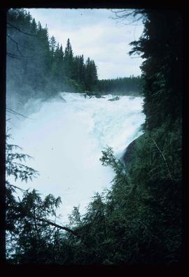
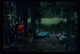
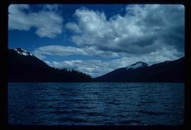
Image depicts a clearing at Island Cache.
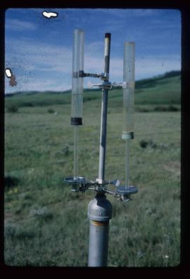
Image depicts an atmometer. According to the slide, it is being used for measuring the rate of water evaporation "from carborundum stone." The location is uncertain.
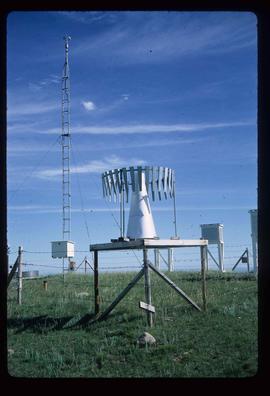
Image depicts a snow gauge at an uncertain location.
File contains slides depicting landforms at various locations.
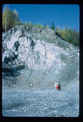
Image depicts what is possibly an intrusive volcanic landform somewhere near Miworth, B.C.
File consists of notes, clippings, and reproductions relating to the Monkman Pass mentioned in newspapers.
File contains slides depicting places in and between McBride and the Yellowhead Pass via the Yellowhead Highway.
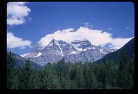
Image depicts Mt. Robson.
Image depicts an old and abandoned cabin with ivy growing up the side. The location is uncertain.
Image depicts the slopes of Tabor Mountain in Prince George, B.C.
File contains slides depicting places in the Lillooet area.
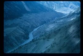
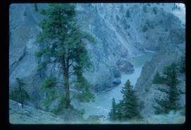
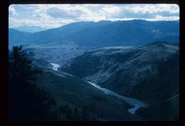
Image depicts the Fraser River in the Lillooet, B.C.
Image depicts the canoe group portaging to Indianpoint Lake.
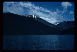
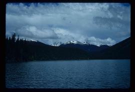
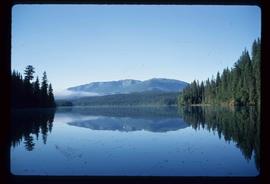
Image depicts Indianpoint Lake.
Image depicts the foot of Indianpoint Lake.
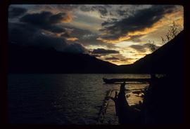
Image depicts the sunset over Isaac Lake from the Betty Wendle campsite.
Image depicts a camp at the foot of Isaac Lake.
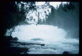
Image depicts the Cariboo Falls.
Image depicts the lower end of the river channel leading to the Spectacle Lakes.
Image depicts a few unknown individuals canoeing in a slough area while on approach to Bowron Lake.
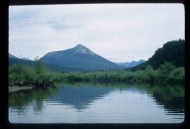
Image depicts a slough area while on approach to Bowron Lake.
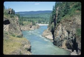
Image depicts the river channel leading to the Spectacle Lakes.
Image depicts Spectacle Lake.
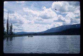
Image depicts two unknown individuals canoeing on the lower part of Spectacle Lake.
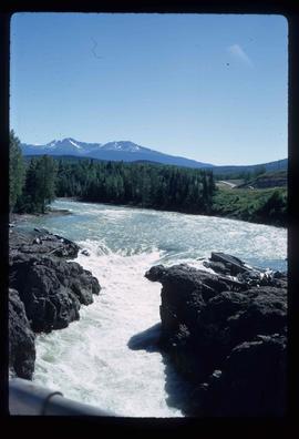
Image depicts the Bulkley River near Moricetown, B.C.
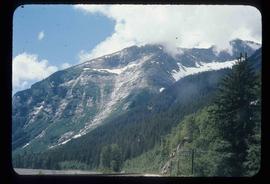
Image depicts a mountain range located somewhere along the Skeena River.
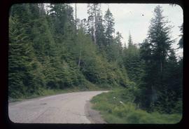
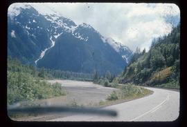
Image depicts a road leading to Prince Rupert, B.C.
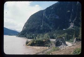
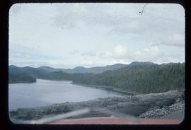
Image depicts the Skeena River.
Image depicts the Fraser River somewhere in the Lillooet area.
File contains slides depicting the Bowron Lake Provincial Park.
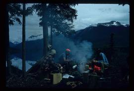
Image depicts the canoe group around a campfire at the head of Indianpoint Lake.
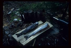
Image depicts a pair of Rainbow trout from Indianpoint Lake.
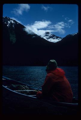
Image depicts an unknown individual in a canoe on Indianpoint Lake.
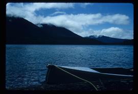
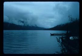
Image depicts Indianpoint Lake.
Image depicts Isaac Lake from the Betty Wendle campsite.
Image depicts the Isaac Falls.
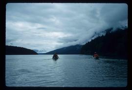
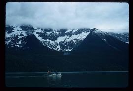
Image depicts four individuals canoeing on Lanezi Lake.
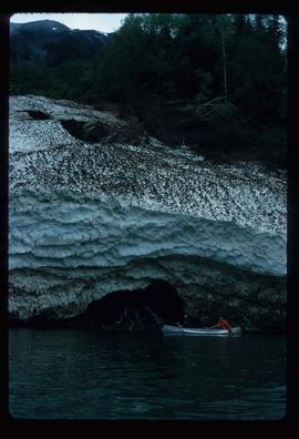
Image depicts the snow still remaining from an avalanche at Lanezi Lake. Two people are also seen canoeing on the lake.
Image depicts a cirque in the mountains surrounding Lanezi Lake. Two individuals can also be seen canoeing on the lake.
Image depicts a mountain in the distance, and the river channel leading to the Spectacle Lakes.
File contains slides depicting places along the Skeena River on the way to Prince Rupert, B.C.
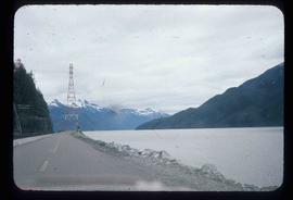
Image depicts the Skeena River alongside Highway 16 en route to Prince Rupert, B.C.
Image depicts a mountain located somewhere along the Skeena River, and a road alongside it.
Image depicts the Bulkley River near Moricetown, B.C.
File contains slides depicting recreational activities on Tabor Mountain in Prince George, B.C.
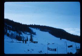
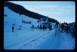
Image depicts numerous skiers standing near a finish line somewhere on Tabor Mountain in Prince George, B.C.
Image depicts the Skeena River somewhere near Prince Rupert, B.C.
Image depicts the Fraser River from the Moran railway point in the Lillooet area.
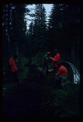
Image depicts the canoe group preparing to canoe on Beaver Pond, which is the start of Kibbee Lake.
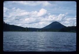
Image depicts Isaac Lake.

