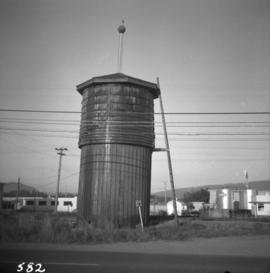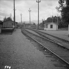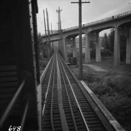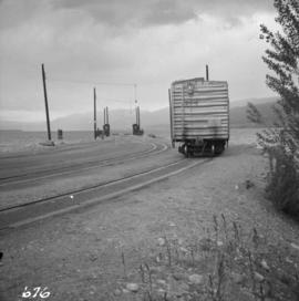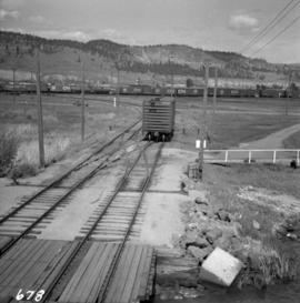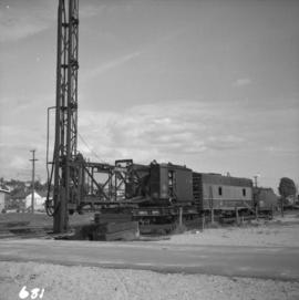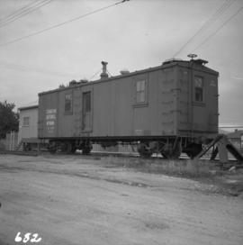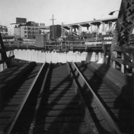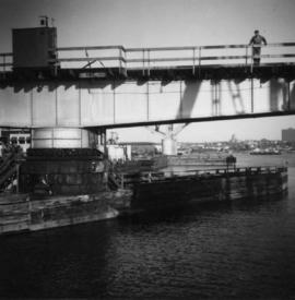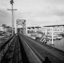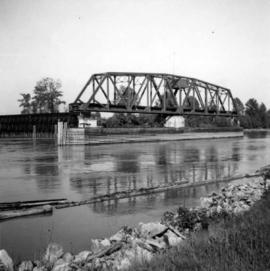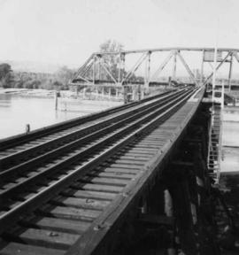
2013.6.36.1.007.114
·
Item
·
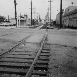
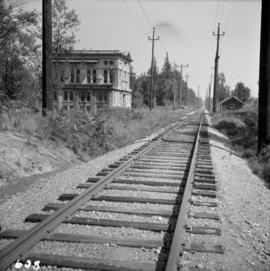
[1964?]
Part of David Davies Railway Collection
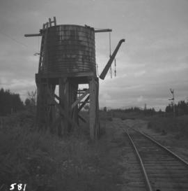
Photograph depicts a water tower beside a rail line.