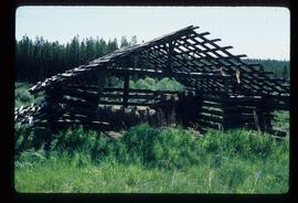
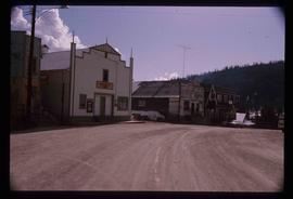
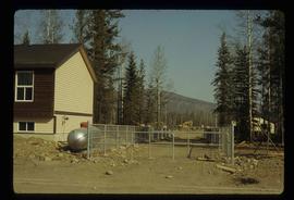
Image depicts a shed on Blackwater Road.
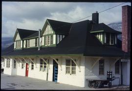
Image depicts the McBride CNR station.
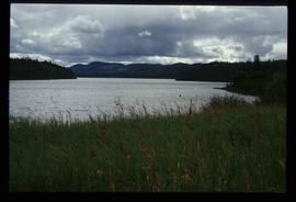
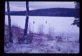
Image depicts McLeod lake.
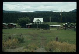
Image depicts the Harrison House in Kersley, B.C.
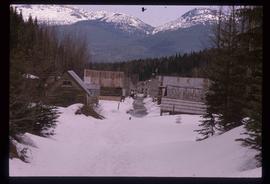
Image depicts two rows of houses in an unknown location.
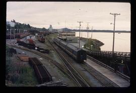
Image depicts the rail yards in Prince Rupert.
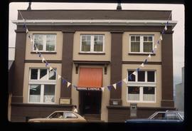
Image depicts an old building with a sign labelling it as a "Dining Lounge," it is possibly in Prince Rupert, B.C.
Image depicts Bobtail Lake.
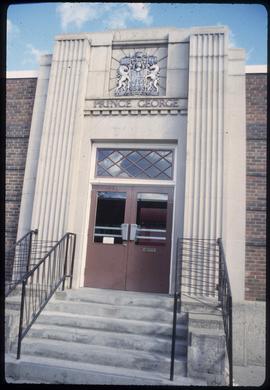
Image depicts the Canadian Forces Recruiting Centre on the north side of 3rd Ave in Prince George, B.C.
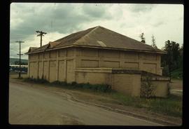
Image depicts a powerhouse in Prince George, B.C.
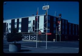
Image depicts the Prince George Hotel.
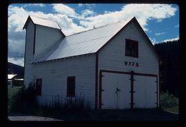
Image depicts a building in Wells, B.C. It possesses the letters "W.V.F.B." on it.
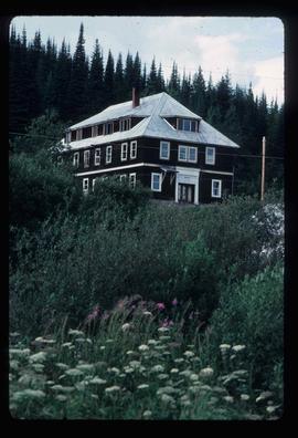
Photograph depicts the old hospital building in Wells. At the time the photo was taken, 1978, it was being used as an apartment building, and that is still its current use.
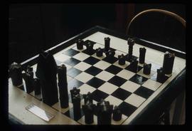
Image depicts an old, and seemingly incomplete chess set somewhere in Wells, B.C.
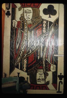
Image depicts the old Jack O' Clubs Hotel Sign in Wells, B.C. A small label on it reads "The Jack O' Clubs Hotel sign was taken down in April," it is uncertain if the following year listed is 1960 or 1980. The hotel itself burned down on February 14th in 1994.
Image depicts many houses somewhere in Wells, B.C.
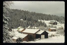
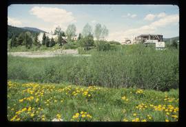
Image depicts Wells, B.C.
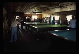
Image depicts an old pool hall, crowded with unknown individuals, somewhere in Wells, B.C.
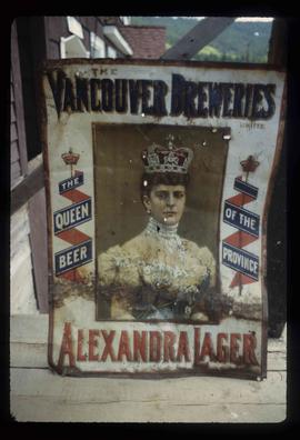
Image depicts an old beer advertisement for Alexandria Lager, somewhere in Wells, B.C.
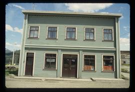
Image depicts a building somewhere in Wells, B.C. There is a sign in one window which reads "Lon Oddfrey Insurance Realty LTD."
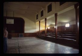
Image depicts the interior of the Centennial Hall in Wells, B.C.
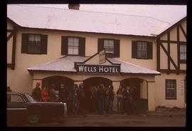
Image depicts a crowd of people outside the Wells Hotel in Wells, B.C.
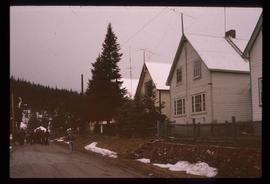
Image depicts a row of houses in Wells, B.C.
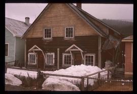
Image depicts a duplex in Wells, B.C.
Image depicts a street in Wells, B.C. The Sunset Theatre is located on the left of the image, and the Jack O' Clubs Hotel is the building with the green roof on the right. The hotel burned down on February 14th in 1994.
File contains slides depicting old geological maps of the Central Interior.
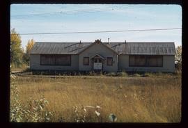
Image depicts an old, boarded up school in Island Cache, B.C.
File contains slides depicting the grade for what was formerly the Pacific Great Eastern, and is now known as British Columbia Railway.
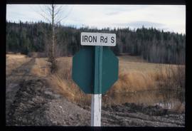
Image depicts the street sign for Iron Road South, which is located north of Woodpecker, B.C.
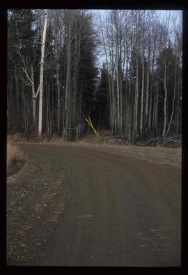
Image depicts a clearing through the woods, possibly an abandoned grade for the BCR. It is possibly located on Iron Road South, near Woodpecker B.C.
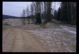
Image depicts a back road at an uncertain location, possibly near Iron Road North, north of Woodpecker, B.C.
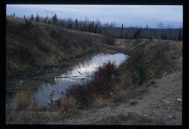
Image depicts a water-filled ditch near a road somewhere in Woodpecker B.C.
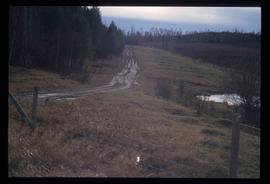
Image depicts a north view of a road somewhere in Woodpecker, B.C.
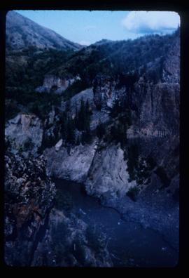
Image depicts the Telegraph Creek.
Image depicts the Telegraph Creek.
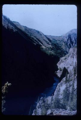
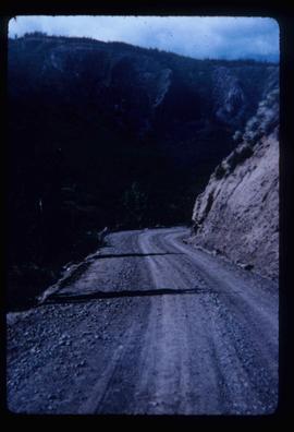
Image depicts Telegraph Creek Road.
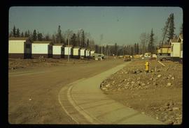
Image depicts a number of trailer homes in Tumbler Ridge, B.C.
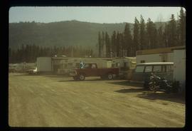
Image depicts numerous campers and other vehicles in Tumbler Ridge, B.C.
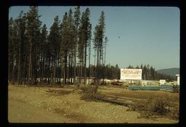
Image depicts a construction area somewhere in Tumbler Ridge, B.C.
Image depicts Quadra Ventures Industrial Lodge in Tumbler Ridge, B.C.
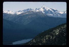
Image depicts a small section of Turner Lake, with what is most likely Glacier Mountain in the distance; they are located in South Tweedsmuir Park, B.C.
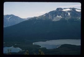
Image depicts an aerial view of what is likely Glacier Mountain in South Tweedsmuir Provincial Park. The two lakes present are possibly Vista and Junker.
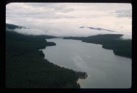
Image depicts an aerial view of a lake in South Tweedsmuir Provincial Park.
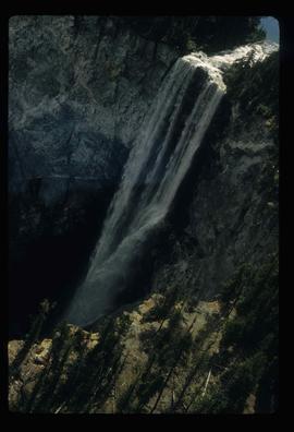
Image depicts an aerial view of a waterfall in South Tweedsmuir Provincial Park.
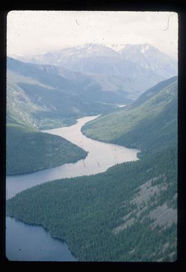
Image depicts an aerial view of a lake in South Tweedsmuir Provincial Park. It is possibly Lonesome Lake.
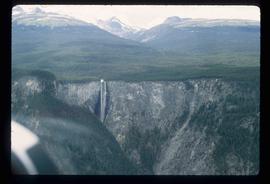
Image depicts an aerial view of a waterfall in South Tweedsmuir Provincial Park.
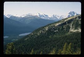
Image depicts an aerial view of South Tweedsmuir Provincial Park.
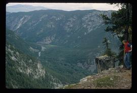
Image depicts a view of South Tweedsmuir Provincial Park. An unidentified man stands on the side of the image.
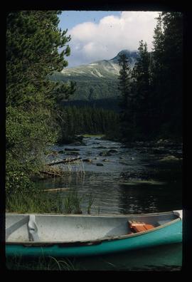
Image depicts a canoe on a river somewhere in South Tweedsmuir Provincial Park.
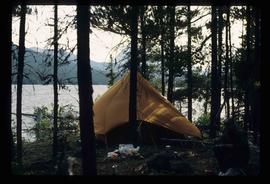
Image depicts a camp on the shore of a lake in South Tweedsmuir Provincial Park. The man sitting in the bottom right corner is possibly Kent Sedgwick.
