2000.1.1.1.07.07
·
Item
·
[1963?]
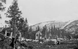
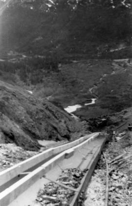
Part of Cassiar Asbestos Corporation Ltd. fonds
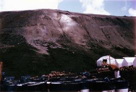
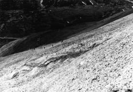
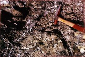
Photograph depicts a geologist's hammer, believed to belong to Cassiar's Chief Geologist Bill Plumb. The hammer provides a scale for the exposed asbestos, indicating the percent of fibre in the rock as well as the expectation of grade.