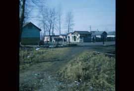
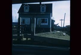
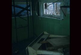
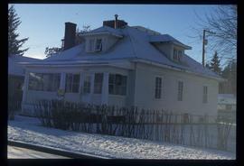
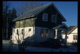
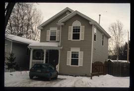
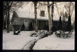
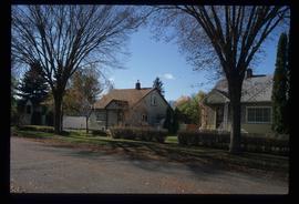
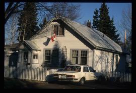
Showing 351 results

Archival description
351 results with digital objects Show results with digital objects
Animal Pen?
2012.13.1.22.28 · Item · 1970
Part of J. Kent Sedgwick fonds

Image depicts what appears to be an animal pen in Island Cache. There is a goat and numerous chickens in the image, as well as a pile of miscellaneous material.

Houses
2012.13.1.22.30 · Item · 1970
Part of J. Kent Sedgwick fonds

Image depicts a few houses in Island Cache. There are two unknown individuals present.

A House
2012.13.1.22.34 · Item · 1970
Part of J. Kent Sedgwick fonds

Image depicts a house in disrepair, and possibly abandoned, in Island Cache.

1690 Dogwood Street
2012.13.1.24.32 · Item · 2000
Part of J. Kent Sedgwick fonds

Image depicts 1690 Dogwood Street, on the corner of 17th Ave and Dogwood St. in Prince George, B.C. Also depicts a portion of 1670 Dogwood Street at left.

Houses on Dogwood Street
2012.13.1.24.34 · Item · 2000
Part of J. Kent Sedgwick fonds

Image depicts houses on Dogwood Street in the Millar Addition neighbourhood of Prince George, B.C. On the left is 1610 Dogwood Street and 1630 Dogwood Street is the middle house; 1650 Dogwood Street is the blue house on the right.

Veteran House
2012.13.1.24.36 · Item · 2000
Part of J. Kent Sedgwick fonds

Image depicts a property given to the Veterans of the Second World War, located on the corner of 15th Avenue and Elm Street in Prince George, B.C.

Farmhouse
2012.13.1.3.012 · Item · Apr. 1972
Part of J. Kent Sedgwick fonds

Image depicts a farmhouse on Old Summit Road in Prince George, B.C.

Highway 97
2012.13.1.3.021 · Item · Oct. 1975
Part of J. Kent Sedgwick fonds

Image depicts Highway 97 at 15th Ave. looking north. Map coordinates 53°54'36.0"N 122°46'55.5"W

Highway 97
2012.13.1.3.022 · Item · Oct. 1975
Part of J. Kent Sedgwick fonds

Image depicts Highway 97 at 15th Ave. looking north. Map coordinates 53°54'42.1"N 122°46'53.1"W

Sprawl
2012.13.1.3.026 · Item · Oct. 1975
Part of J. Kent Sedgwick fonds

Image depicts a few houses, most likely near the airport in Prince George, B.C.

Trailers for Sale
2012.13.1.3.027 · Item · Oct. 1975
Part of J. Kent Sedgwick fonds

Image depicts mobile homes for sale on Cowart Road looking northeast with Simon Fraser Bridge in background. Map coordinates 53°52'39.3"N 122°46'13.1"W

Woodwards
2012.13.1.3.029 · Item · Oct. 1975
Part of J. Kent Sedgwick fonds

Image depicts Parkwood Place taken from Connaught Hill looking west with the hospital in the background. Map coordinates 53°54'39.9"N 122°45'02.5"W