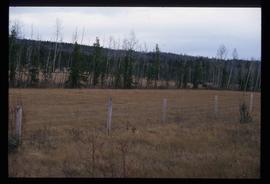
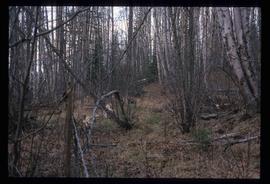
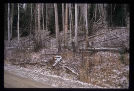
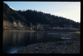
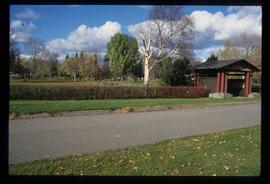
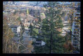
Image depicts a tree line in Woodpecker, B.C.
Typed message on front reads: “Happy Birthday Your Honour, You have a way of making each person you come in contact with feel so special, so we all want to wish you the happiest birthday year ever. Staff of Government House, October 18, 2002.” Signed by the staff of Government House.
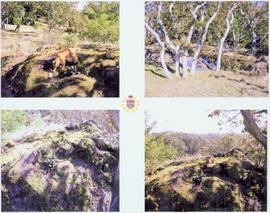
Handwritten annotation on verso reads: “The Rock - I spent 6 years creating 6 gardens surrounding”.
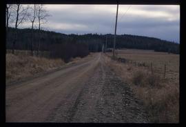
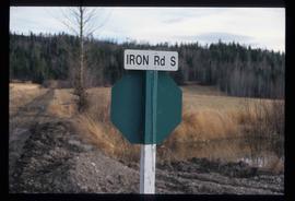
Image depicts Iron Road South, which is located north of Woodpecker, B.C.
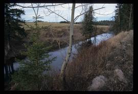
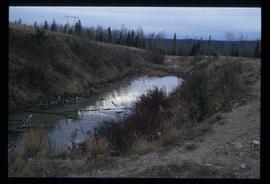
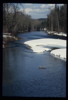
Image depicts a creek near Iron Road North, north of Woodpecker, B.C.
Image depicts a pair of dogs in a forest, possibly somewhere near Woodpecker, B.C.
Image depicts a tree line in Woodpecker, B.C.
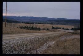
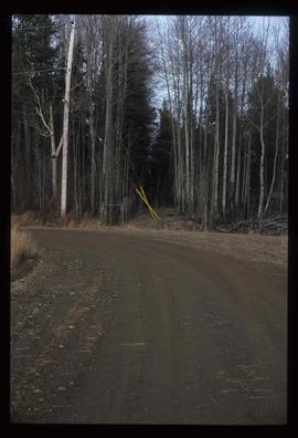
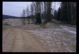
Image depicts a road somewhere in Woodpecker, B.C.
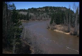
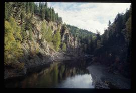
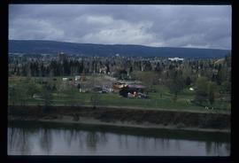
Image depicts the Mud River.
Image depicts the Cottonwood Canyon.
Image depicts the street sign for Iron Road South, which is located north of Woodpecker, B.C.
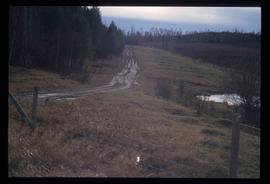
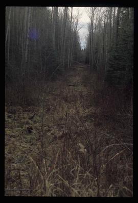
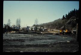
Image depicts a clearing through the woods, possibly an abandoned grade for the BCR. It is possibly located on Iron Road South, near Woodpecker B.C.
Image depicts a back road at an uncertain location, possibly near Iron Road North, north of Woodpecker, B.C.
Image depicts a water-filled ditch near a road somewhere in Woodpecker B.C.
Image depicts a north view of a road somewhere in Woodpecker, B.C.
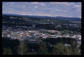
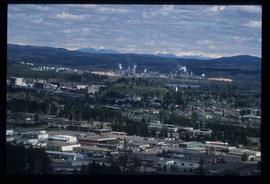
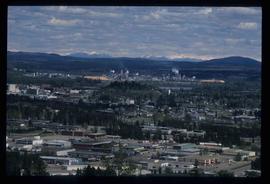
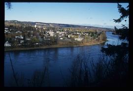
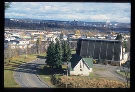
Image depicts Prince George, with the picture looking North-Northeast from University Way.
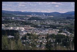
Image depicts Prince George from University Way, with the P.G.I pulp mill in the distance.
Image depicts a view of the south direction of the grade for the British Columbia Railway, which was formerly known as the Pacific Great Eastern until 1972. It is at an uncertain location, possibly near Woodpecker or Prince George.
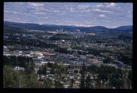
Image depicts Prince George from University Way, with the P.G.I. Pulp Mill in the distance.
Image depicts Prince George from University Way, with the P.G.I. Pulp Mill in the distance.
This fonds illustrates Walt Taylor’s activities as a social activist in the Okanagan region of B.C. in the 1970s, and his involvement with political-environmental activist movements in the Bulkley Valley-Telkwa-Smithers area c.1980s-1990s. The Taylor fonds includes records of the Skeena Round Table for a Sustainable Society, the Northwest Study Conference Society and the Waging Peace Society; as well as, background research compiled for Taylor’s publication "Waging Peace for a Living: An Action Plan for survival of life on earth", (Victoria: Trafford Publishing, 1999). The Taylor fonds also contains records of significance relating to proposed economic developments, such as open-pit mining, fishing and forestry policies and nuclear power; and documents pertaining to political-environmental actions conducted by Northern BC stakeholders such as First Nations (Gitskan and Wet'su'wet'en) and NGO’s such as the Telkwa Educational Action Committee of Householders. Types of records comprising this fonds include correspondence to and from activist organizations; circulars to society members; background papers on social activist issues; background reports on BC First Nations environmental and land claims issues, background studies on environmental & economic impacts of industrial developments proposed for Northern BC, newspaper clippings, and various publications.
Taylor, WaltImage depicts Prince George from University Way, with the P.G.I. Pulp Mill in the distance.
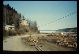
Image depicts the Giscome mill foreman's house on the hill, with Eaglet Lake in the background and numerous piles of logs in the foreground. Map coordinates 54°04'28.0"N 122°22'05.8"W
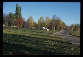
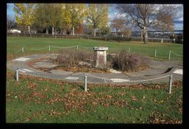
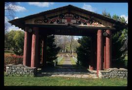
Image depicts the Lheidli T'enneh Burial Grounds in Fort George Park.
Image depicts the Lheidli T'enneh Burial Grounds in Fort George Park.
Image depicts the Fraser River at Paddlewheel park, with a train on the other side of the river, in Prince George B.C.
Image depicts the Northwood Pulpmill in Prince George, B.C. taken from above the Nechako River looking east. Map coordinates 53°56'00.0"N 122°44'29.7"W
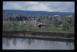
Image depicts a view of Prince George from an uncertain location.
Image depicts the Lheidli T'enneh Burial Grounds in Fort George Park.
Image depicts a view of Prince George.
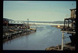
Image depicts mill site and dock in Giscome, B.C. with Eaglet Lake in the background covered in ice. There is a large crowd of people gathered near the dock. Map coordinates 54°04'34.9"N 122°21'50.0"W
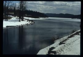
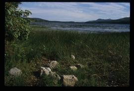
Image depicts a river, possibly near Bear Lake, B.C.
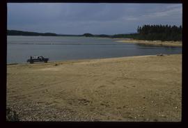
Image depicts a truck parked on a beach in Mackenzie, B.C.
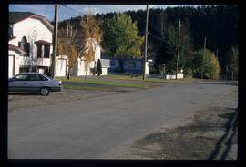
Image depicts an uncertain street in Prince George, B.C.
Image depicts the Lheidli T'enneh Burial Grounds in Fort George Park.
Image depicts a view of the Millar Addition suburb from Connaught Hill in Prince George, B.C.
Annotation on slide: "[mostly illegible] Km 3 [?] pinker [?] cubic block"
Image depicts downtown Prince George taken from across the Nechako River looking south. Map coordinates 53°56'00.0"N 122°44'29.7"W
Image depicts McLeod Lake.
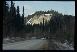
Image depicts a road, forest, and hill rise in an uncertain location possibly near Red Rock, B.C.
Image depicts a river, possibly near Bear Lake, B.C.
Image depicts Prince George with numerous trees obscuring most of the view.
Image depicts Prince George.
Image depicts the Fraser River at Paddlewheel park, with a train on the other side of the river, in Prince George B.C.
Image depicts a view of Prince George.
Image depicts employee houses on mill site in Giscome, B.C. Tug boats are in the foreground on the right. Map coordinates 54°04'23.4"N 122°22'16.9"W
File consists of a transcript of an oral history interview with Ken and Donna Quinn.
File consists of a transcript of an oral history interview with Jim Burbee.
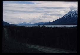
Image depicts what is possibly Atlin Lake, with numerous mountains in the distance and Atlin Mountain visible on the right of the image.
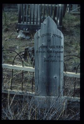
Image depicts the grave of John Wolters in the Atlin Cemetery. It reads: "Born in Kent, England, Jan 16 1857. Died Sept. 21 1905."
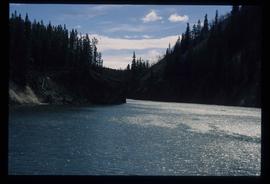
Image depicts a river in the Miles Canyon near Whitehorse Y.T.
