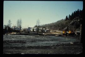
Image depicts employee houses on mill site in Giscome, B.C. Tug boats are in the foreground on the right. Map coordinates 54°04'23.4"N 122°22'16.9"W
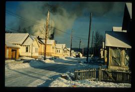
Image depicts a street of houses in Giscome, B.C. Map coordinates 54°04'20.9"N 122°21'53.1"W
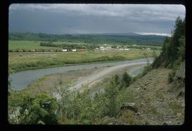
Image depicts a view of Giscome with a train passing through.
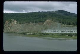
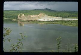
Image depicts the site of Giscome's first quarry, with Eaglet Lake located in the foreground.
Image depicts the site of Giscome's first quarry, with a train passing by and Eaglet Lake located in the foreground.
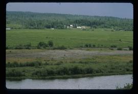
Image depicts a farm in Giscome, B.C.
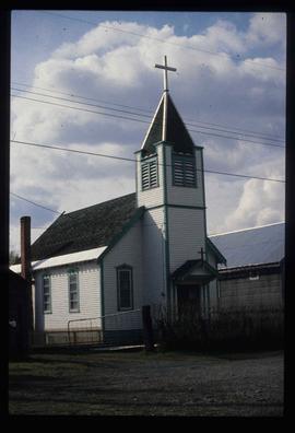
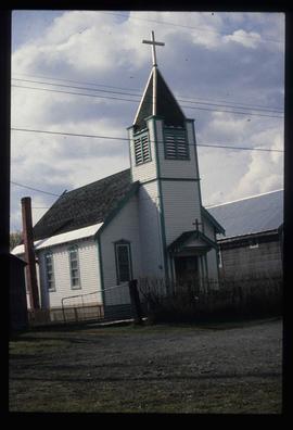
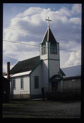
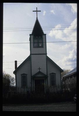
Image depicts a Catholic church in Giscome, B.C. Map coordinates 54°04'15.5"N 122°21'52.1"W
Image depicts a Catholic church in Giscome, B.C. Map coordinates 54°04'15.5"N 122°21'52.1"W
Image depicts a Catholic church in Giscome, B.C. Map coordinates 54°04'15.5"N 122°21'52.1"W
Image depicts a Catholic church in Giscome, B.C. Map coordinates 54°04'15.5"N 122°21'52.1"W
