File consists of a transcript of an oral history interview with Ethelwynne MacArthur, Neil MacArthur, and Neila Ollinger.
File consists of an audio recording of an interview with Ethelwynne MacArthur, Neil MacArthur, and Neila Ollinger. Includes one original recorded audio cassette.
File consists of a transcript of an oral history interview with Dennis Spoklie.
File consists of an audio recording of an interview with Dennis Spoklie. Includes one original recorded audio cassette and one copy.
File consists of a transcript of an oral history interview with Lea Gobbi and Kate Anderson.
File consists of an audio recording of an interview with Lea Gobbi and Kate Anderson. Includes two original recorded audio cassettes and two copies.
The Prince George Railway & Forestry Museum Society Collection consists primarily of textual, photographic, and cartographic records related to the regional developments of the railway industry in Northern BC. A predominant portion of the collection is made up of material from the Canadian National Railway; other railways represented include the Pacific Great Eastern Railway, the British Columbia Railway (BC Rail), the Grand Trunk Pacific Railway, the Grand Trunk Railway, the Intercolonial Railway, and the Okanagan Express. Significant geographical areas covered include Prince George, the Peace River Region, Terrace, Bulkley Valley, Hazelton and Prince Rupert.
The forestry industry is represented in the collection with operational and financial records from Fyfe Lake Sawmill Ltd., which operated southwest of Prince George in the 1950s.
The collection has been organized into series according to creator, each of which also has been arranged to subseries, file and item level, where applicable. This collection consists of eight series, as follows:
1) Canadian National Railway
2) Grand Trunk Railway
3) Pacific Great Eastern Railway
4) British Columbia Railway (BC Rail)
5) Canadian Pacific Railway (CPR)
6) Intercolonial Railway
7) Fyfe Lake Sawmill ltd.
8) PGRFM
9) Photographs
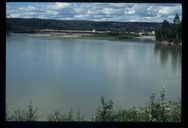
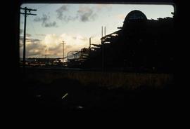
Image depicts the Prince George Sawmill from the Northwood Bridge.
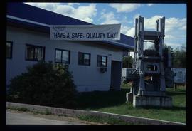
Image depicts the office at the Northwood Upper Fraser Saw Mill and a sign which reads "Have a safe, quality day." Map coordinates 54.117916, -121.943351
File consists of a transcript of an oral history interview with Bob Harkins/
File consists of an audio recording of an interview with Bob Harkins. Includes two original recorded audio cassettes and one copy.
File consists of a transcript of an oral history interview with Ivan Andersen.
File consists of an audio recording of an interview with Ivan Andersen. Includes one original recorded audio cassette and one copy.
File consists of a transcript of an oral history interview with Jack Boudreau. Also includes photocopies of Jack Boudreau's personal records, such as the Diary of Ada (Adelia) Sykes.
File consists of an audio recording of an interview with Jack Boudreau. Includes one original recorded audio cassette and one copy.
File consists of a transcript of an oral history interview with the Perry Family.
File consists of an audio recording of an interview with the Perry Family. Includes one original recorded audio cassette and one copy.
File consists of a transcript of an oral history interview with Louisa Mueller. Also includes photocopies of Louisa Mueller's personal records, such as photographs.
File consists of an audio recording of an interview with Louisa Mueller. Includes two original recorded audio cassettes.
File consists of an audio recording of an interview with Earl Lousier and Harry Gairns. Includes two original recorded audio cassettes.
File consists of a transcript of an oral history interview with Earl Lousier and Harry Gairns.
The Cassiar Asbestos Corporation and townsite records encompass a massive archival holding of approximately 1,600 bankers boxes. A box level inventory was created by student employees of the archives over a 15-year period. This inventory is provided here for access purposes only and its accuracy cannot be guaranteed.
In 1952 the Cassiar Asbestos Mining Corporation constructed an asbestos open-pit mine and mill and created a town site for its workers that became the town of Cassiar, British Columbia, 50 miles south of the Yukon border, and 80 miles north of Dease Lake. For 40 years Cassiar was a thriving asbestos mining town with a population at its peak of about 2500, with production statistics for 1989, recording over 60 million tonnes of ore mined, producing a billion dollars of new wealth. In 1989 Cassiar added an underground mine to the site, and despite attempts to run it profitably, in 1992 the entire mine closed partially due to the global market decline in the demand for asbestos, resulting in the closure of the town, and the move of its workers and families out of Cassiar. An auction was held to sell off all the mining equipment, townsite infrastructure, its buildings, people’s residences and the site was bull-dozed, with many houses burned to the ground. Today little remains in this remote area of Northern British Columbia to mark Cassiar’s industrial, economic or social history.
In 1992 the University of Northern British Columbia acquired the holdings of CAMC and the Cassiar townsite recognizing its potential for academic research, as the records could provide insight into natural resource industry extraction operations in Northern BC from mid to late 20th century, illustrative of ‘boom & bust’ industries, and to provide context to the development of the Cassiar Asbestos Mining Corporation and the history of the ‘life’ of a one-industry company town. The holdings document mining operations by CAMC and of the town site of Cassiar, originally consisting of the equivalent of 1800+ bankers’ boxes, including records on construction, engineering, operations, administration of CAMC, tallies of extractions, labour and union activities, corporate events and visits by dignitaries (including Prime Minister Trudeau who visited CAMC’s northern operations unit in Clinton Creek in 1968 and M.P. Iona Campagnolo in 1978). As CAMC was owner of both the mine and the Cassiar town, the company provided municipal services (i.e. sewer, water, and electricity) for its workers and their families. The archived municipal records document townsite construction, including the creation of health, education and community services such as Cassiar’s private hospital, school, library, community centre, hockey arena, and retail store. The holdings also include extensive visual documentation of natural and man-man landscapes within this remote and scenic area of Northern British Columbia. The formats of the archival holdings are diverse consisting of textual, photographic, cartographic materials, electronic records, films, promotional video-recordings, and a near complete run of the Cassiar community’s print newspaper.
File consists of material regarding the archaeological history of British Columbia including newspaper clippings, reproduced articles, a pamphlet, and correspondence. Highlights include:
- Charles E. Borden, "Results of Archaeological Investigations in Central British Columbia", 1950 (article reproduction)
- Roy L. Carlson, "C.E. Borden's Archaeological Legacy", 1979 (article reproduction)
- The Archaeological Sites Advisory Board, "Preserving British Columbia's Prehistory", 1973 (booklet)
- J.H. Sewell, "Archaeological Remains in Central British Columbia", 1950 (article reproduction)
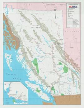
Map depicts the route of BC Rail and its connecting rail lines.
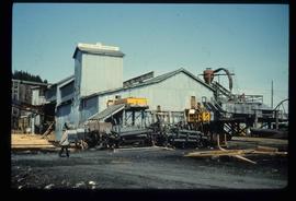
Image depicts a sawmill, possibly Lakeland Sawmill, in Prince George B.C.
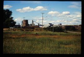
Image depicts a pulpmill, likely Northwood, in Prince George, B.C.
Series consists of photographs relating to Ray Williston's life from childhood to recent times, air photographs of Prince George, photographs of Bangladesh, and a listing of photographs slated for use in Mr. Williston's biography "Forests, power and policy: the legacy of Ray Williston" written by Eileen Williston and Betty Keller.
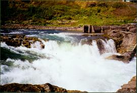
Photograph depicts white rapids at bottom of waterfall in Bulkley River, B.C. Fishing territory visible on far right; hill on opposite shore in background.
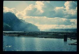
Image depicts numerous tree logs floating on a body of water. The location is uncertain, but is likely Eaglet Lake.
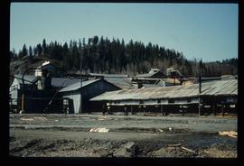
Image depicts the mill site at Giscome, B.C. Map coordinates 54°04'19.7"N 122°22'04.7"W
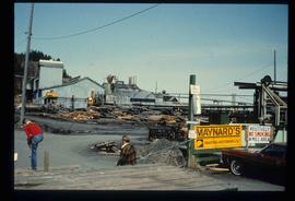
Image depicts the mill site at Giscome, B.C. A sign in the foreground reads "Maynard's Industrial Auctioneers." Map coordinates 54°04'19.7"N 122°22'04.7"W
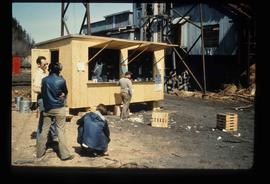
Image depicts a food stand at the mill site at Giscome, B.C. Map coordinates 54°04'19.7"N 122°22'04.7"W
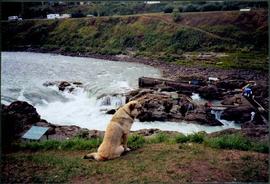
Photograph depicts dog seated on grass in foreground. Unidentified individuals visible below with fishing nets in waterfall area at Moricetown Canyon.
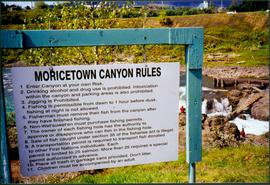
Photograph depicts sign in foreground outlining rules and restrictions for behaviour at Moricetown Canyon. Traditional fishing territory visible behind sign at waterfall in the Bulkley River, B.C. Highway and buildings can be seen in background.
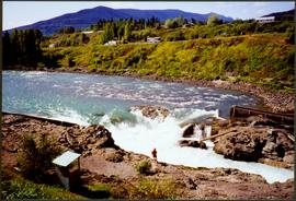
Photograph depicts an unidentified individual standing on cliff above waterfall at Bulkley River, B.C. Fishing territory visible below; highway, buildings, and hills visible in background.
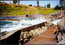
Photograph depicts fishing territory at waterfall rapids in Bulkley River, B.C. Highway and buildings on opposite shore in background.
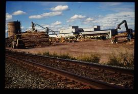
Image depicts Upper Fraser mill yard with log deck and beehive burner in silhouette across railroad tracks. Located in Upper Fraser, B.C. Map coordinates 54°07'01.5"N 121°56'29.6"W
Image depicts numerous log decks at the Upper Fraser sawmill. Map coordinates 54°07'10.8"N 121°56'51.7"W
Image depicts the mill site at Giscome, B.C. Map coordinates 54°04'19.7"N 122°22'04.7"W
Image depicts the mill site at Giscome, B.C. Map coordinates 54°04'19.7"N 122°22'04.7"W
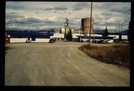
Image depicts the entrance to the Upper Fraser mill yard in Upper Fraser, B.C. Map coordinates 54°07'10.8"N 121°56'51.7"W
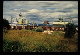
Image depicts the Upper Fraser mill yard with a CN train in Upper Fraser, B.C. Map coordinates 54°07'10.8"N 121°56'51.7"W
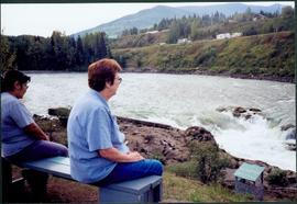
Photograph depicts Moran seated to right of woman on bench in foreground. Waterfall area at Moricetown Canyon can be seen below, behind booth labeled "MONITER BOOTH". Highway and houses visible on opposite shore in background.
Image depicts the entrance to the Upper Fraser mill yard in Upper Fraser, B.C. Map coordinates 54°07'10.8"N 121°56'51.7"W
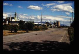
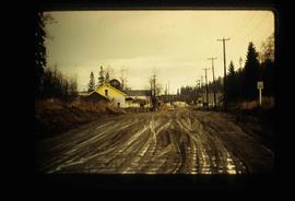
Image depicts the Upper Fraser Road running through Upper Fraser, B.C. A newer style round burner is seen in the background. Map coordinates 54°07'05.7"N 121°56'38.9"W
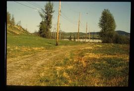
Image depicts the remains of a street of houses in Giscome, B.C. The quarry is slightly visible in the background. Map coordinates 54°04'20.9"N 122°21'53.1"W
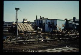
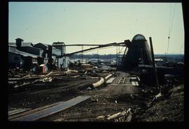
Image depicts numerous buildings at an uncertain location. A beehive burner and what appears to be a large pile of wood is visible in the background.
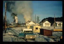
Image depicts several houses and the Giscome saw mill in Giscome, B.C. in the background. Map coordinates 54°04'20.9"N 122°21'53.1"W
Image depicts the mill site at Giscome and its beehive burner. Map coordinates 54°04'19.7"N 122°22'04.7"W
Tourist map of Prince George depicts city area, including railway trackage.
