File consists of notes and reproductions relating to Kent Sedgwick's guest lecture for UNBC course "GEOG 200 Geography of British Columbia".
File contains slides depicting places in and between McBride and the Yellowhead Pass via the Yellowhead Highway.
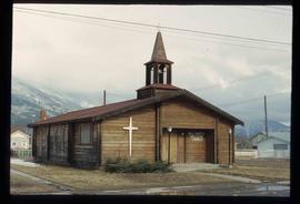
Image depicts the All Saints Anglican Church in McBride, B.C. The slide labels it as having "moved to PG."
File consists of notes and reproductions relating to the urban geography field trip conducted by Kent Sedgwick for the Western Division of the Canadian Association of Geographers (WDCAG).
Item is an original map depicting tourism in southwestern British Columbia published by the Province of British Columbia Ministry of Tourism.
Item is an original map depicting provincial parks across northern British Columbia and was published by the British Columbia Department of Lands, Forests and Water Resources. The map includes pen marks and highlighting.
Item is an original map depicting the city of Prince George and its parks and trails. The map was published by the City of Prince George Leisure Services.
File consists of notes and reproductions relating to the Upper Fraser historical geography field trip for the BC Historical Federation by Kent Sedgwick. Includes photographs depicting a group from the BC Historical Federation standing outside at one of the East Line communities listening to a presentation by Kent Sedgwick and Greg Halseth (May 2003).
Item is an original orthophoto depicting Cranbrook hill's greenway and multi-use trail and was published by the Indistrial Forestry Service Ltd.
Item is an original map depicting the Bateman forestry route. Map includes pen markings.
Item is an original map depicting Prince George.
Item is an original map depicting the Nechako River and Isle Pierre in British Columbia.
Item is an original piece of an annotated map depicting West Lake pulp harvesting forest.
File contains slides that reproduce historical photographs of Indigenous peoples of Central Interior, as well as maps.
Image depicts Bellos Road, most likely in Red Rock, B.C.
File contains slides depicting areas around the Discovery Passage.
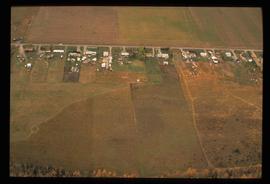
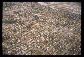
Image depicts an aerial view of what is possibly an outlying area of Prince George, B.C.
File consists of notes and reproductions relating to history of the Rocky Mountains. Includes: "Cave & Basin Hot Springs" pamphlet prepared by Parks Canada (1985); "Canadian Rockies Heritage" pamphlet by The Whyte Foundation (1985); "The Alpine Club of Canada" pamphlet by the Alpine Club of Canada (1990); and "Snow War: a guide to the history of Rogers Pass" pamphlet by Parks Canada (1978).
File consists of notes, reproductions, and typed documents relating to Kitimat.
Image depicts Bellos Road, most likely in Red Rock, B.C.
Series consists of maps collected by Kent Sedgwick covering historical and contemporary British Columbia. The maps include originals and photocopies that depict Fort George; Indian Reserve No.1; Anahim Lake, Bella Colla, Quesnel; Salmon Valley; the Cariboo district; the Peace River Country; Prince Rupert; Terrace; Bowron River; Giscome; Prince George; and Isle Pierre. The maps include tourism and recreation maps, pre-emptor maps, and resource maps created by the Province of British Columbia.
Item is an original map depicting West Lake pulp harvesting forest.
File contains slides depicting maps and site plans for the city of Prince George.
Image depicts an aerial view of a Prince George residential section between Highway 97, Carney Street and 10th Ave looking north. Map coordinates 53°54'54.0"N 122°46'00.4"W
File contains slides depicting the grade for what was formerly the Pacific Great Eastern, and is now known as British Columbia Railway.
Item is a map depicting the revised site plan for the Salmon Valley Ranch created by Trelle Morrow, architect.
Item is an original 2003 city map depicting Vancouver and the Fraser Valley published by Rand Mc Nally, with annotations in highlighting.
Item is an original map depicting the West Lake harvesting forest and is a partial topographical map. The map includes pen markings.
Item is an original map depicting the West Lake forest.
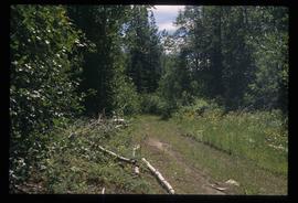
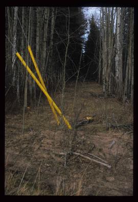
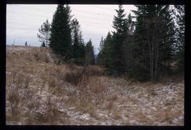
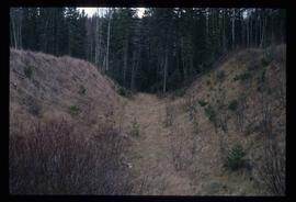
Image depicts a clearing through the woods, possibly an abandoned grade for the BCR. It is possibly located on Iron Road South, near Woodpecker B.C.
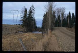
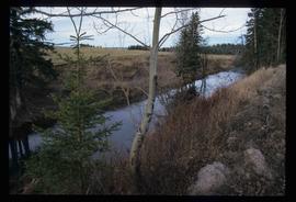
Image depicts Iron Road North, and a creek surrounded by trees. Located north of Woodpecker, B.C.
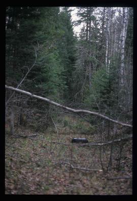
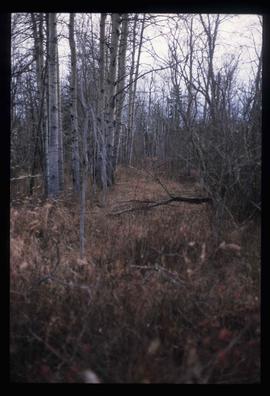
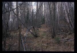
Image depicts a forest, possibly somewhere near Woodpecker, B.C.
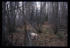
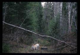
Image depicts a dog in a forest, possibly somewhere near Woodpecker, B.C.
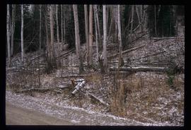
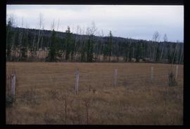
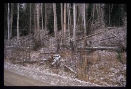
Image depicts a tree line in Woodpecker, B.C.
Image depicts a view south, possibly of an abandoned grade for the BCR; possibly somewhere near Woodpecker, B.C.
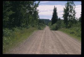
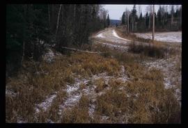
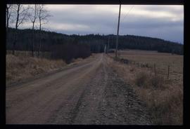
Image depicts a north view of a road somewhere in Woodpecker, B.C.
File contains slides depicting Mud River.
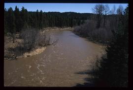
Image depicts the Mud River.
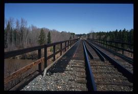
Image depicts a rail road bridge over the Mud River.
File consists of notes and reproductions relating to "Northern Approaches to New Caledonia" lecture conducted by Kent Sedgwick, relating to the article he wrote on "Crossing the Divide: Northern Approaches to New Caledonia". File predominantly contains Kent Sedgwick's handwritten notes and notes and transparent sheets of film depicting various maps of northern British Columbia. File also contains photographs depicting various maps (Oct. 2002).
File consists of lists and printed emails relating to slides and photographs depicting the East Line. Includes a CD that contains slides and photographs depicting the East Line (2000).
Image depicts a creek near Iron Road North, north of Woodpecker, B.C.
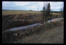
Image depicts a ditch near a road somewhere in Woodpecker B.C.
Image depicts a pair of dogs in a forest, possibly somewhere near Woodpecker, B.C.
Image depicts a forest, possibly somewhere near Woodpecker, B.C.
Image depicts a tree line in Woodpecker, B.C.
Image depicts Iron Road South, which is located north of Woodpecker, B.C.
Image depicts a creek near Iron Road North, north of Woodpecker, B.C.
Image depicts a pair of dogs in a forest, possibly somewhere near Woodpecker, B.C.
Image depicts a tree line in Woodpecker, B.C.
