Mostrar 352 resultados
Archival description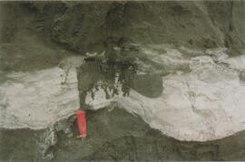
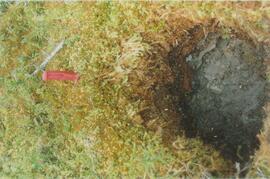
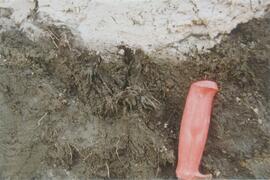
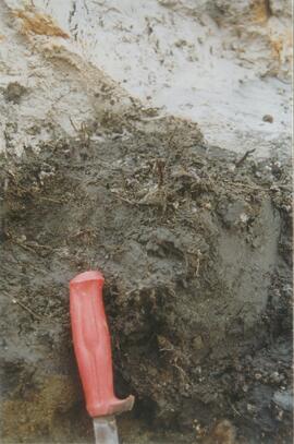
Site Y04-04 detail (3)
Site Y04-04 detail (5)
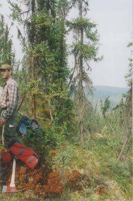
Grant Zazula at Goldbottom (1)
Grant Zazula at Goldbottom (1)
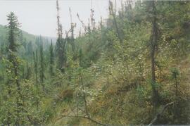
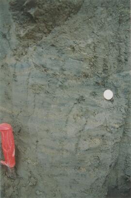
Gold Bottom transect - north aspect lower slope (1)
Gold Bottom transect - north aspect lower slope (3)
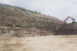
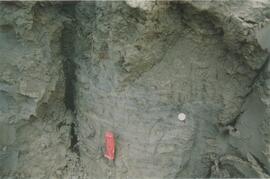
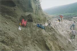
Gold Bottom east wall (2)
Gold Bottom east wall (4)
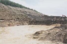
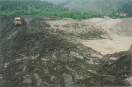
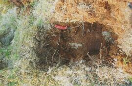
Gold Bottom lower pit
Site Y04-01 (5)
Site Y04-02 (2)
Site Y04-02 detail (1)
Site Y04-02 detail (3)
Site Y04-03 (3)
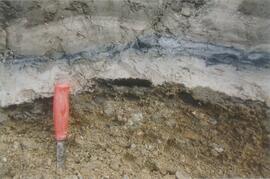
Site Y04-04 detail (1)
Site Y04-04 detail (2)
Site Y04-04 detail (6)
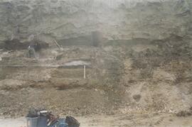
Site Y04-04 (2)
Gold Bottom transect - north aspect lower slope (5)
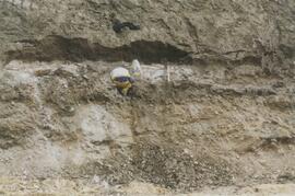
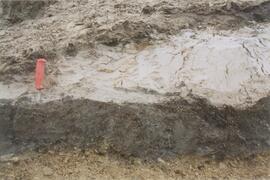
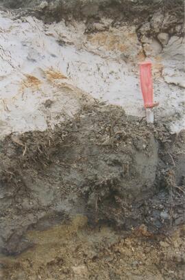
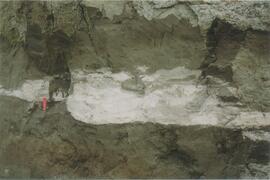
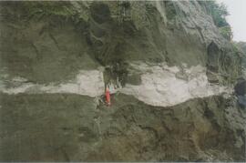
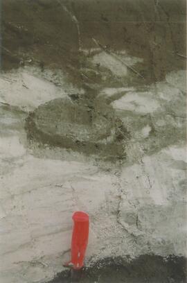
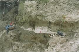
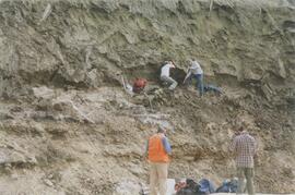
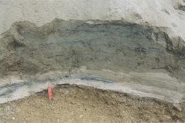
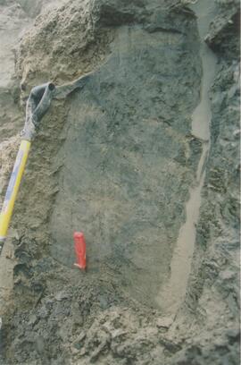
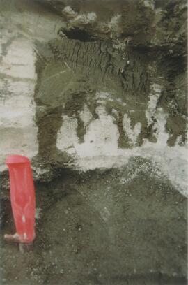
Ice under Dawson tephra at Gold Bottom (3)
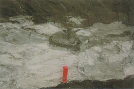
Ice under Dawson tephra at Gold Bottom (3)
Ice under Dawson tephra at Gold Bottom (4)
Ice under Dawson tephra at Gold Bottom (4)
Kluane Lake 2004 photographs - print roll 12
Kluane Lake 2004 photographs - print roll 12
Kluane Lake 2004 photographs - print roll 13
Kluane Lake 2004 photographs - print roll 13
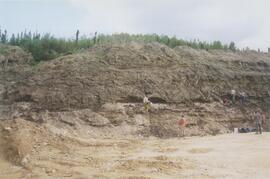
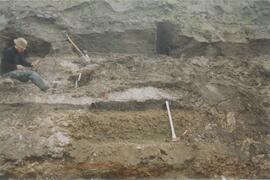
Gold Bottom east wall (1)
Gold Bottom east wall (3)
Site Y04-01 (1)
Site Y04-01 (3)
Site Y04-02 (3)
Site Y04-02 detail (4)
Site Y04-02 detail (7)
Gold Bottom upper pit (3)
Site Y04-03 (1)
Site Y04-03 (5)
Site Y04-03 (6)
Site Y04-04 detail (4)
Site Y04-04 (1)
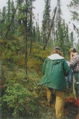
Gold Bottom transect - north aspect lower slope (2)
Gold Bottom transect - north aspect lower slope (4)
Kluane Lake 2004 photographs - slide roll 6
Kluane Lake 2004 photographs - slide roll 6
Kluane Lake 2004 photographs - slide roll 7
Kluane Lake 2004 photographs - slide roll 7
Yukon Paleosol Study topographical NTS map scans
Yukon Paleosol Study topographical NTS map scans

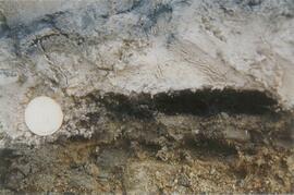
"AMS Radiocarbon Dates for Soil Charcoal in Holocene Loess - Kluane Lake, Yukon Territory - 2004 Samples"

Fort Selkirk volcanic field soil reconnaissance data

Early Pleistocene basalt cliffs on the north side of the Yukon River

Wilderness trombone at Camp 1

Camp 1, facing southwest

Mouth of Black Creek

Camp 2 at the mouth of Black Creek

Middle Pleistocene basalt cliffs west of Camp 2

Flight between Camp 2 and Camp 3

Flight between Camp 2 and Camp 3