File consists of an audio recording of an interview with John and Bernice Trick. Includes one original recorded audio cassette and one copy.
File consists of a transcript of an oral history interview with John and Bernice Trick.
File consists of a transcript of an oral history interview with Kate Anderson and Mae Romanin.
File consists of an audio recording of an interview with Kate Anderson and May Romanin. Includes one original recorded audio cassette and three copies.
File consists of a transcript of an oral history interview with Ken Sasaki.
File consists of an audio recording of an interview with Ken Sasaki. Includes one original recorded audio cassette and three copies.
File consists of a transcript of an oral history interview with Lea Gobbi and Kate Anderson.
File consists of an audio recording of an interview with Lea Gobbi and Kate Anderson. Includes two original recorded audio cassettes and two copies.
File consists of a transcript of an oral history interview with Ray Williston.
File consists of an audio recording of an interview with Ray Williston. Includes three original recorded audio cassettes and three copies.
File consists of a transcript of an oral history interview with Ruth Cunningham, Lillian Coulling, and Evelyn Rebman. Also includes photocopies of Ruth Cunningham's personal records, such as photographs and newspaper clippings.
File consists of an audio recording of an interview with Ruth Cunningham, Lillian Coulling, and Evelyn Rebman. Includes two original recorded audio cassettes and two copies.
File consists of an audio recording of an interview with Walter Carlson. Includes one original recorded audio cassette and one copy.
File consists of a transcript of an oral history interview with Walter Carlson.
This collection contains two tapes of interviews by Kent Sedgwick and Megan Heitrich, and one tape by Megan Heitrich alone. Interviews focus primarily upon the Japanese Internment during WWII in the Prince George – Valemount corridor. The interviews are with women who lived near an internment camp during the war, and had some contact with the Japanese men.
The interviewees were selected for having mentioned the Japanese internment in prior interviews: Louisa Mueller and Ruth Cunningham in interviews by the Prince George Oral History Group, and Karlleen Robinson in “A History of Logs and Lumber.” In the Cunningham Interview, Ruth’s daughter Lillian Coulling is also present.
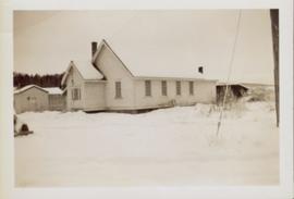
Side perspective of Knox United Church in winter. Handwritten annotation in pen on verso reads: “The United Church.”
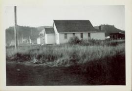
Side perspective of Knox United Church located on Brown Ave. in Giscome. Handwritten annotation in pen on verso reads: “United Church.”
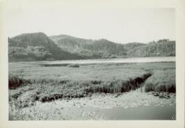
Marsh along the edges of Eagle Lake features tall riparian plants and lily pads. Handwritten annotation in pen on verso reads: “Eagle Lake.”
Six men visible on hillside and wood plank roadway, working together to roll cut logs down the hill and load them onto the truck.
Handwritten annotation in pencil on verso read: “logs up to 32 feet in length.”
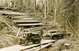
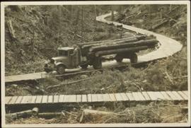
Fully loaded logging truck driving along a switchback, wood plank logging road.
Handwritten annotation in pencil on verso reads: “Truck Logging / Giscome BC.”
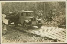
Fully loaded logging truck driving along a wood plank logging road. Another road under construction is also visible through forest in background.
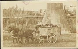
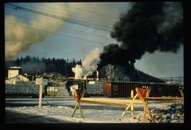
Man driving a two horse cart in front of beehive burner, cart is full of bark presumably sawed off the logs.
Handwritten annotation in pencil on verso: "Mill Burner".
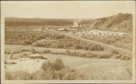
Overview of the Giscome sawmill behind road. Lumber yard is visible in foreground while mill stands in background.
Handwritten annotation in pencil on verso: "Giscome Mill / lumber yard in foreground".
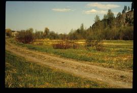
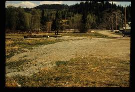
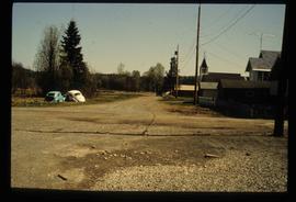
Image decpicts the old road to the townsite in Giscome, B.C. Map coordinates 54°04'19.7"N 122°22'04.7"W
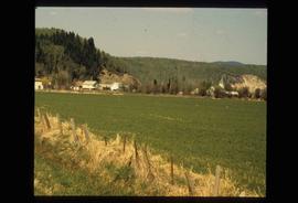
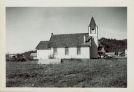
Image depicts an open field and numerous buildings, including a church in Giscome, B.C. Map coordinates 54°04'03.2"N 122°22'04.6"W
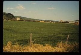
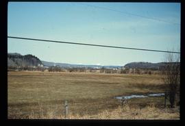
Image depicts a field in Giscome, B.C. On the right side of the image, in the background, is a grey strip that appears to be a mine, possibly the quarry at Eaglet Lake in Giscome, B.C. Map coordinates 54°03'52.9"N 122°22'10.0"W
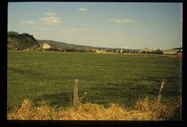
Image depicts a field in Giscome, B.C. On the right side of the image, in the background, is a grey strip that appears to be a mine, possibly the quarry at Eaglet Lake in Giscome, B.C. Map coordinates 54°03'52.9"N 122°22'10.0"W
Image depicts an open field and Giscome, B.C. in the background. Map coordinates 54°03'52.9"N 122°22'10.0"W
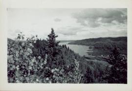
Photograph of various plant life with Eagle Lake visible in the background. Handwritten annotation in pen on verso reads: “Eagle Lake from the top of the bluff. Eagle Lake is about 7 miles long & about 1 mile wide. It is a fair sized lake.”
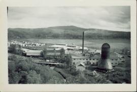
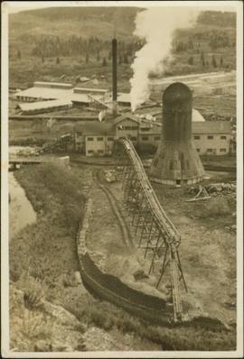
Photographic overview of the Eagle Lake Sawmill. Handwritten annotation in pen on verso reads: “The mill.”
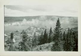
Overhead photograph of Giscome with the Eagle Lake Sawmill's beehive burner clearly visible in left foreground. Handwritten annotation in pen on verso reads: “Part of our community. school * ”
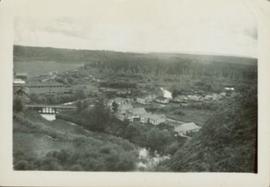
Overhead photograph of Giscome buildings with Eaglet Creek running through the foreground. Handwritten annotation in pen on verso reads: “Notice the flatness of the land. Part of our community.”
File contains postcard photographs portraying life in various Northern BC Communities. Images depict buildings and streets, church structures, harbours and docks, and views of the shore from the water to name a few.
Previous site of sawmill in Giscome, B.C. looking northwest. Map coordinates 54°04'19.7"N 122°22'04.7"W
Handwritten annotation in pencil on verso: "Daily Capacity 100,000 f.b.m. sawmill in foreground planer mill and lumber yard in background.”
Original photographic print included in "Northern Interior Forest Experiment Station: Report of Preliminary Investigations" by Percy Barr.
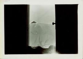
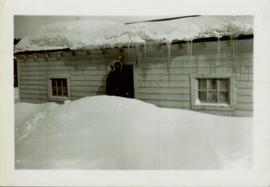
Photo displays the height of the snow on the front porch of the Giscome teacherage after a blizzard.
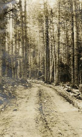
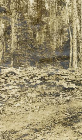
Original photographic print included in "Northern Interior Forest Experiment Station: Report of Preliminary Investigations" by Percy Barr. Photograph depicts mature spruce and balsam reproduction.
Side perspective of St. Frederick’s Catholic Church located on Brown Ave. in Giscome. Handwritten annotation in pen on verso reads: “The Catholic Church, St. Frederick.”
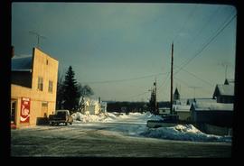
Image depicts a street in Giscome. The store was previously located on the left. The church is in the background. Map coordinates 54°04'18.5"N 122°21'57.7"W
Image depicts a street in Giscome B.C. The Giscome Store is located on the left side of the image with the church in the background. Map coordinates 54°04'18.5"N 122°21'57.7"W
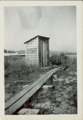
Small wooden outhouse with wooden planked pathway sits in an open field behind the Teacherage. Handwritten annotation in pen on verso reads: “Behind the teacherage. Guess what?”
Bob White, a teacher, standing on the porch of the teacherage after a blizzard.
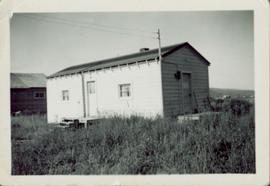
Side perspective of the teacherage located on Brown Ave. in Giscome. Photo taken in September. Handwritten annotation in pen on verso reads: “The Teacherage.”
Side perspective of the teacherage located on Brown Ave. in Giscome. Photo taken in November after the first snow. Handwritten annotation in pen on verso reads: “Our House.”
This 16mm film of Eagle Lake Sawmills was produced by Torajiro Sasaki in July 1952, likely commissioned or with permission from the sawmill owners, the Spurs. The film depicts logging and sawmilling operations at the Eagle Lake Sawmill, as well as shots of the bunkhouses, exterior shots of the mill, and the beehive burner. Employees of the mill are shown at work. In 1952, Eagle Lake Sawmill used both machinery and horses in their operations.
Sasaki, TorajiroImage depicts several trains at the Giscome mill site in Giscome, B.C. Map coordinates 54°04'19.7"N 122°22'04.7"W
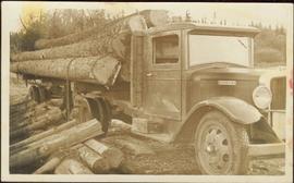
An “Indiana” flatbed logging truck releases logs from its load onto a makeshift log slide at the edge of a road.
Handwritten annotation in pencil on verso: "unloading logs".
The Upper Fraser Historical Geography Project was conducted by UNBC faculty and a team of researchers between 1999 and 2002. The lead researchers were Aileen Espritiu, Gail Fondahl, Greg Halseth, Debra Straussfogel, and Tracy Summerville. The project resulted in the creation of 93 oral history records and their transcripts. Participants included regional forest industry executives, politicians (including former MLA Ray Williston, local mayors and Fraser Fort George Regional District representatives), forest industry workers, and former and contemporary Upper Fraser community residents. The oral histories document the rise, consolidation and demise of the forestry-based settlements along the Upper Fraser River between 1915 and 2000.
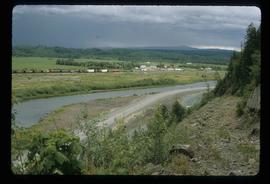
Image depicts a view of Giscome with a train passing through.
