Showing 221 results
Archival description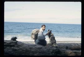
Kent Sedgwick with a Dog
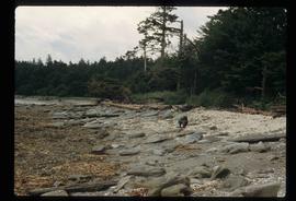
Coastal Forest
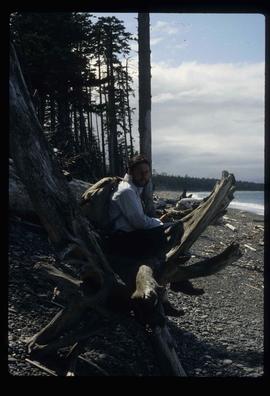
Kent Sedgwick on a Log
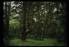
Coastal Forest - Trees
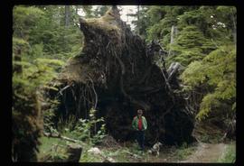
Uprooted Tree?
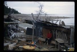
Shack on a Beach
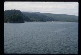
Approach to Haida Gwaii
Playground and Totem Pole
Playground and Totem Pole

House with First Nations' Art
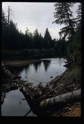
A River - Log Bridge?
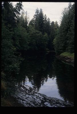
River Through a Forest

Forest
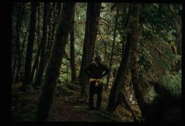
Kent Sedgwick in a Forest

Forest

Totem Poles

House on the Shore

Coast of Haida Gwaii
Job 539 - Queen Charlotte Islands Forest District - Facilitation and Mediation of Local Resource Use Plan for Tlell Watershed - Tlell River
Job 539 - Queen Charlotte Islands Forest District - Facilitation and Mediation of Local Resource Use Plan for Tlell Watershed - Tlell River
Plans for Queen Charlotte Island Museum
Plans for Queen Charlotte Island Museum
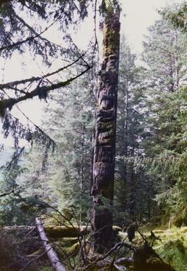
Totem pole in British Columbia rainforest
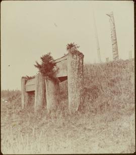
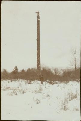
Medicine man grave marker near Masset, Queen Charlotte Islands, BC
Medicine man grave marker near Masset, Queen Charlotte Islands, BC
Medicine man grave marker near Masset, Queen Charlotte Islands, BC
Medicine man grave marker near Masset, Queen Charlotte Islands, BC
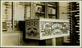
Bentwood box
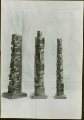
Three argillite totem poles
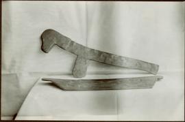
Unidentified object
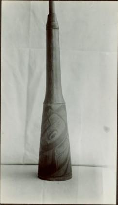
Unidentified tool and bark shredder
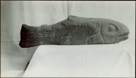
Stone fish
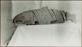
Wooden fish
Bentwood boxes and spoons
Bentwood boxes and spoons
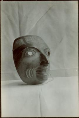
Mask
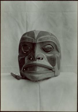
Mask
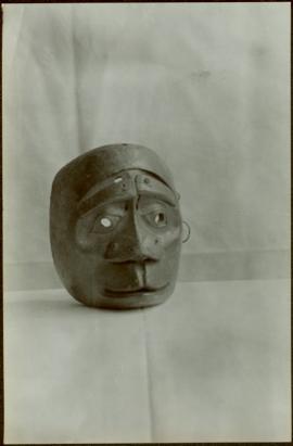
Mask
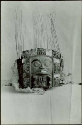
Chief’s headdress
Notes and drafts
Notes and drafts
"In the Wake of the War Canoe" Chapter XX revisions

Advanced Copy of a Map of the Queen Charlotte Islands
Map showing locations of placer streams in British Columbia south of latitude 54 degrees North, with Queen Charlotte Islands inset in north east corner
Map showing locations of placer streams in British Columbia south of latitude 54 degrees North, with Queen Charlotte Islands inset in north east corner
Interior of chief's house in Masset, Queen Charlotte Islands, BC
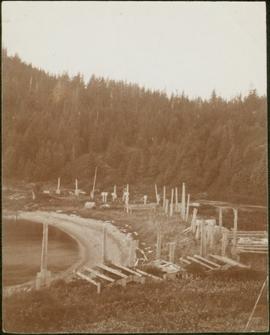
Haida tombs and totem poles in Masset, Queen Charlotte Islands, BC
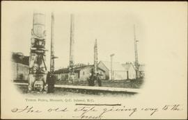
Crest poles at Masset, Queen Charlotte Islands, BC
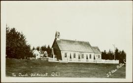
Church and mission house in Masset, Queen Charlotte Islands, BC
Young W.E. Collison standing by totem pole, Queen Charlotte Islands, BC
Totem poles at unknown beach on Queen Charlotte Islands, BC
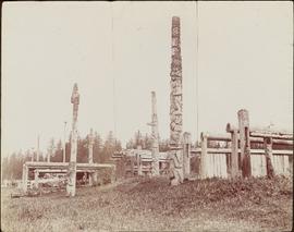
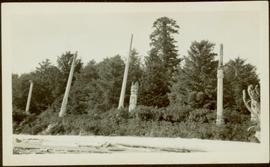
Totem poles at deserted village on Queen Charlotte Islands, BC
Totem poles at deserted village on Queen Charlotte Islands, BC
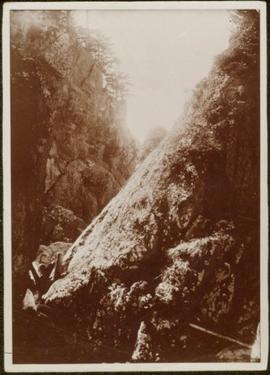
Old fort in cliffs on Queen Charlotte Islands, BC
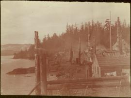
Totem poles at village built on shoreline
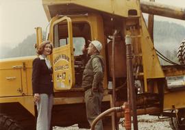
Iona Campagnolo talking with unidentified employee of Frank Beban Logging

Iona Campagnolo talking to Haida Gwaii students
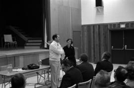
Iona Campagnolo talks to constituents at community meeting