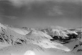
2000.1.1.4.3.06
·
Item
·
1961
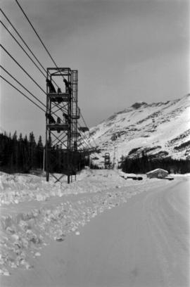
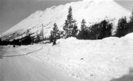
Part of Cassiar Asbestos Corporation Ltd. fonds
Photograph depicts group of eleven men standing in line in the Cassiar valley. Left to right: Jack Christian, Charles Rainforth Elliot, John Drybrough, John E. Kennedy, Fred Martin Connell, W. Harold Connell, Ken A. Creery, George Washington Smith, Tam Zimmermann, [Fred Murray]?, Nick Gritzuk. Creery looks through his own camera, appearing to photograph the photographer. Power lines and mountains in background. Most men featured in photo are believed to be members of Cassiar's Board of Directors.