2023.2.2.8.20.55
·
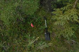
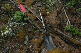
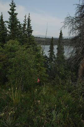
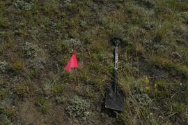
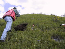
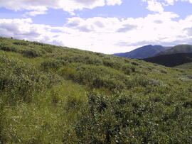
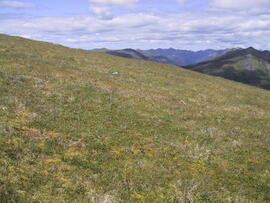
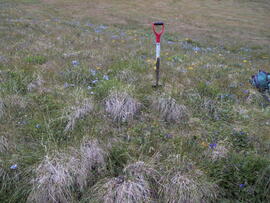
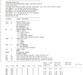
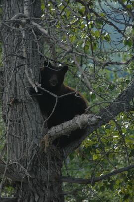
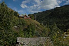
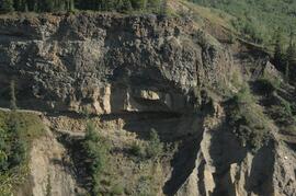
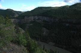
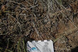
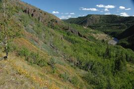
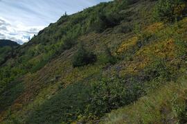
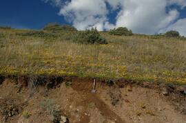
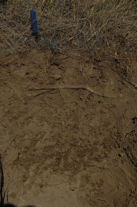
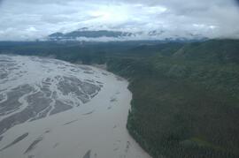
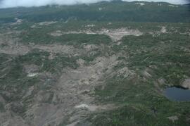
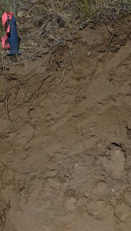
Item
·
2009
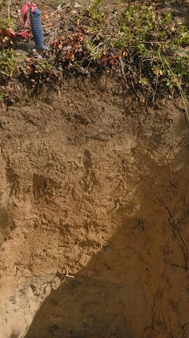
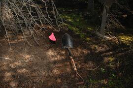
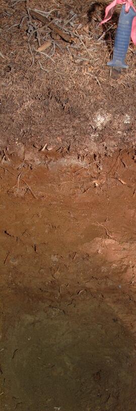
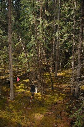
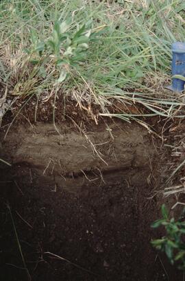
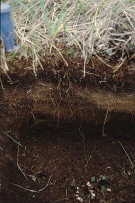
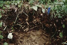
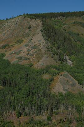
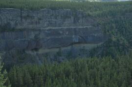
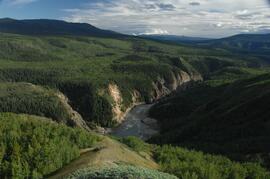
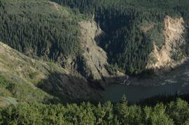
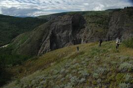
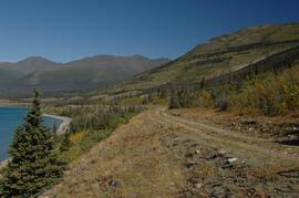
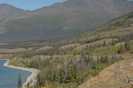
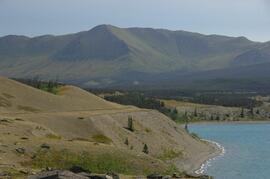
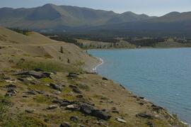
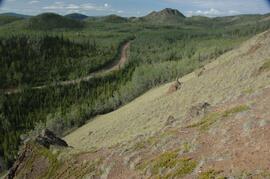
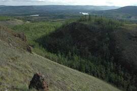
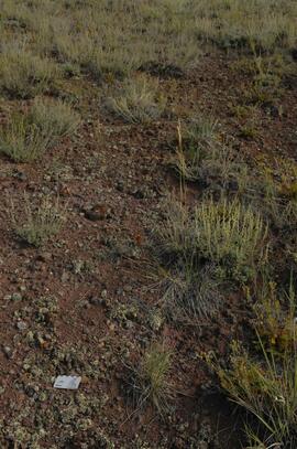
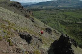
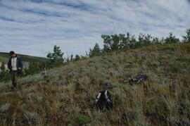
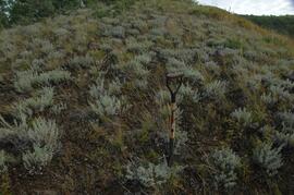
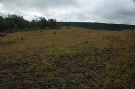
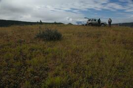
Part of Dr. Paul Sanborn fonds
Photograph depicts a Kluane Lake transect 3 location.