2013.6.36.1.156.06
·
Item
·
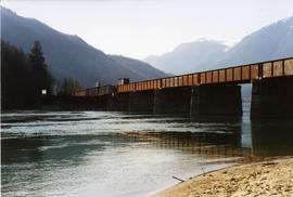
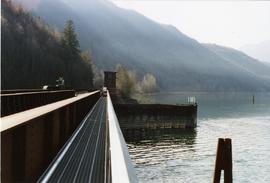
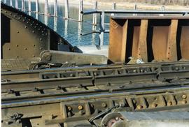
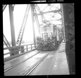
Apr. 1991
Part of David Davies Railway Collection
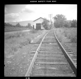
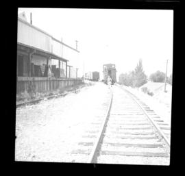
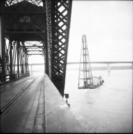
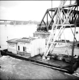
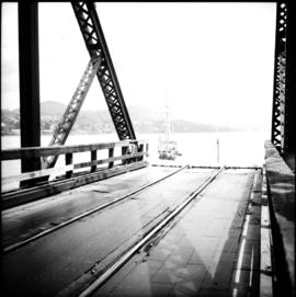
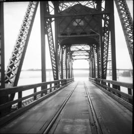
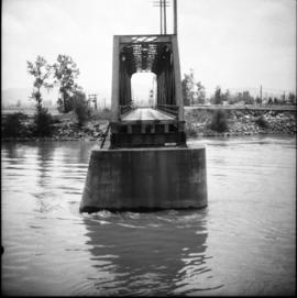
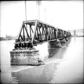
Photograph depicts a CPR swing bridge in Harrison Mills. Looking east, towards Kilby Store. Swing section in the foreground. It was rarely used.