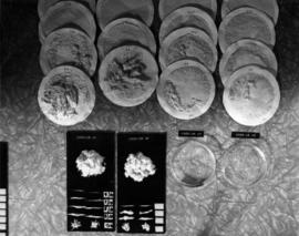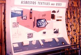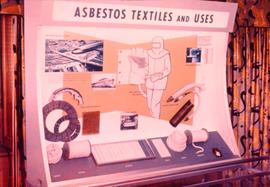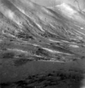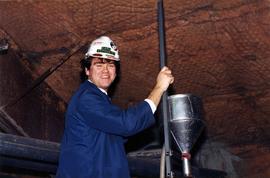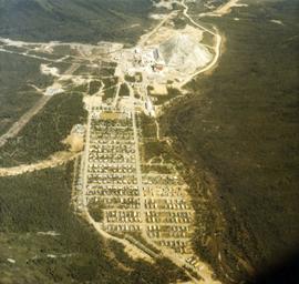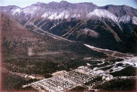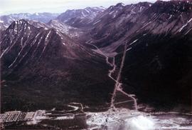
Item
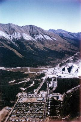
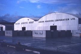
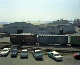
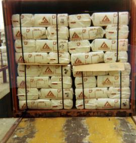
Part of Cassiar Asbestos Corporation Ltd. fonds
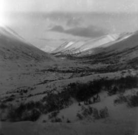
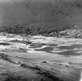
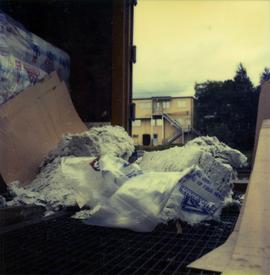
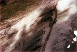
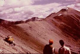
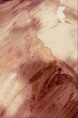
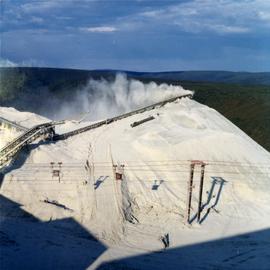
Photograph depicts an asbestos pile at the Clinton Creek mine.