Annotation on slide: "Heavy Residual Basal Area: Summit Lake".
Annotation on slide: "Summit Lake trial, Teapot Mountain, Jull".
No annotation on slide.
File consists of photographs taken by Paul Sanborn during the May 9, 2002 UNBC/UBC Aleza Lake Research Forest Field Tour for UNBC and UBC faculty members.
File consists of photographs of the Upper Fraser Canfor administration buildings, bunkhouse, and fire hall following the 2003 mill closure.
File consists of photographs of John Revel taken above the old Aleza Lake Forest Experiment Station site. John Revel was a retired pioneering BC Forest Service silviculture forester.
Aerial photograph depicts a view overlooking the Georges farm. Note on back stated that this photograph was presented in a frame to the Georges in 2008.
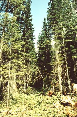
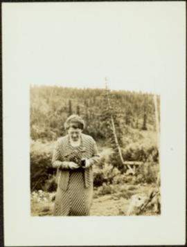
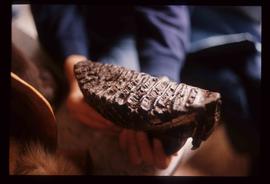
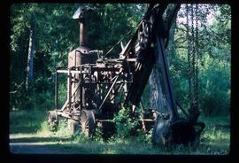
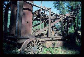
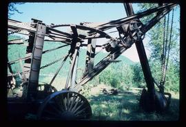
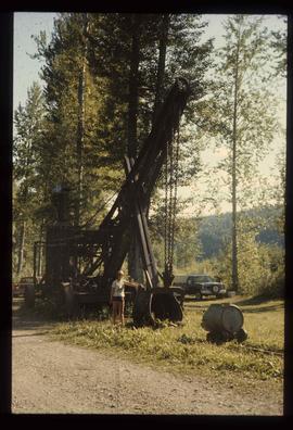
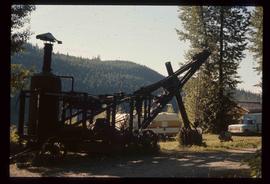
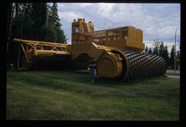
Contains significant materials covering a wide range of topics related to forestry research and forest management practices in Central British Columbia from the 1920s to the 1980s with the bulk of the materials dating from 1924 to 1963. Includes early surveys and descriptions of the Upper Fraser area, early maps and plans of the Research Forest, and historical meteorological registers from the area. Also includes unpublished scientific reports, communications, administrative and technical reports, timber sale records, and general forestry related reports and publications. Photographs include images of the Experimental Station dating from its inception and images of the Young Men's Forestry Training Program situated at Aleza Lake in 1936. Research records include experimental plot files that contain field notebooks dating from 1928 to 1958 which note locations of the experimental plots as well as sample plots from the surrounding areas of Hutton, Penny, and Foreman. The field notebooks also record growth and mortality data of white spruce balsam from 1928 to 1958 and soil types. The fonds also contains some records related to the re-emergence of the Aleza Lake Research Forest (ALRF) in the 1980s and 1990s.
Sans titreThis fonds consists of membership lists and application forms, correspondence, reports, minutes, information bulletins, and constitution & by-law information created or received by the Canadian Institute of Forestry - Cariboo Section during its first years of establishment.
Sans titreProfile of Moran seated at desk with computer and piles of paper. Bookshelf in background.
Sarah Glassey stands looking down into what appears to be a camera, forest on hillside in background.
Handwritten annotation on verso: “age 48, BCIT commencement speech pl-ning (?)”
File contains slides depicting various types of instruments at various locations, including Willow River.
Image depicts a hand-held ice drill.
Image depicts an unidentified individual drilling into the ice.
Image depicts an atmometer. According to the slide, it is being used for measuring the rate of water evaporation "from carborundum stone." The location is uncertain.
Image depicts a sunshine recorder at an uncertain location.
Image depicts two unidentified individuals and a van on a farm at an uncertain location, possibly a place called Cypress Hill, with an atmometer and a sunshine recorder.
Image depicts an evaporation pan for water evaporation measurements. The location is uncertain.
Image depicts a snow gauge at an uncertain location.
File contains slides depicting weather balloons.
Image depicts a fossilised mammoth tooth found by Ray Mueller. Photograph taken at map coordinates 54.014188, -121.676973
Image depicts a large, old piece of machinery, possibly some form of mining or prospecting equipment; it is located in Quesnelle Forks, B.C.
Image depicts several unknown individuals present as a piece of machinery is used to assist in the mining of gold at Mosquito Creek in Wells, B.C.
Image depicts a man using a piece of machinery for the mining of gold at Mosquito Creek in Wells, B.C.
Image depicts numerous pieces of machinery in the interior of a building at a dairy farm, located somewhere near Quesnel, B.C. Several unknown individuals are present.
Image depicts a pile of irrigation pipes on a dairy farm somewhere near Quesnel, B.C.
Image depicts what appears to be a junkyard for old mining equipment at an uncertain location, though possibly near Gibraltar.
Image depicts the interior of the Gibraltar chemical mill, where they separate the molybdenum.
Image depicts an unknown individual standing next to a turbine located somewhere in Fort St. John, B.C.
Image depicts a turbine located somewhere in Fort St. John, B.C.
Image depicts a turbine on the back of an industrial vehicle, located somewhere in Fort St. John, B.C.
Image depicts a turbine on the back of an industrial vehicle, located somewhere in Fort St. John, B.C. The slide is labelled "Site one dam; turbine prop. (Russian.)"
Image depicts a conveyor belt, possibly located inside one of the old buildings at what is possibly the closed Britannia Mine.
Image depicts a piece of industrial machinery, possibly located at the closed Britannia Mine. Two unknown individuals are also present in the image.
Image depicts the Bridge River No. 1 hydroelectric station on the shore of Seton Lake (rear side of powerhouse).
Image depicts the Terzaghi Dam viewed from the downstream side near Bralorne B.C.
Image depicts the Lajoie Dam on the Bridge River from the upstream side.
Image depicts the Lajoie Dam on the Bridge River, upstream side, showing part of Downton Lake and, in the foreground, the spillway intake.
Image depicts the Lajoie hydroelectric generating station at the Lajoie Dam on the Bridge River (view of powerhouse and tailrace from top of dam).
Image depicts a man standing in front of a helicopter; a waterfall is visible on the cliffs in the background. The slide itself is labelled "BC Parks Tour."
Image depicts the "Divides Lake Waterfall" as well as a man in front of a helicopter in the foreground.
Image depicts a woman standing next to a steam shovel, located in Quesnelle Forks.
Image depicts a steam shovel, located in Quesnelle Forks.
Image depicts numerous individuals wearing hard hats in what appears to be a computer room somewhere in Mackenzie, B.C.
Image depicts an individual standing next to the world's largest tree crusher in Mackenzie, B.C.