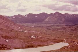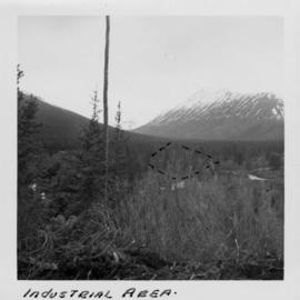
2000.1.1.1.02.08
·
Item
·
[June 1951?]
Part of Cassiar Asbestos Corporation Ltd. fonds
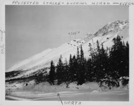
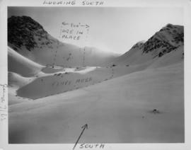
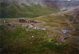
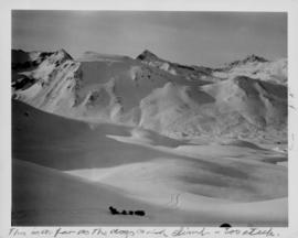
Photograph depicts the wooded area of the Cassiar valley. The projected plant site is outlined in blue ink. Trees and bushes in foreground, snow-capped mountains in background.