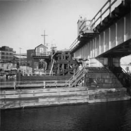
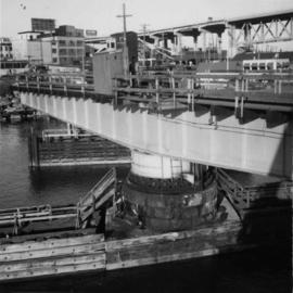
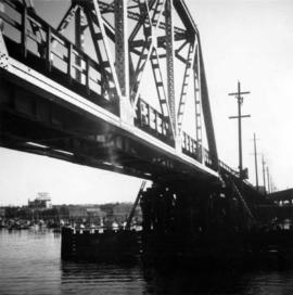
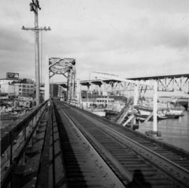
2013.6.35.21
·
Stuk
·
1985
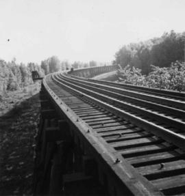
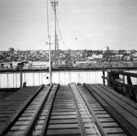
Part of David Davies Railway Collection
Tourist map of Prince George depicts city area, with annotations by Davies to emphasize locations of rail lines.