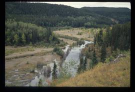
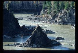
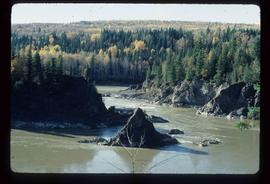
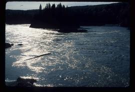
File consists of aeriel photographs depicting the Fraser River Big Bend, where the Fraser River changes direction from westbound to southbound at its "Big Bend" near the Huble Homestead Historic Site, 45 km north of Prince George, British Columbia.
File consists of notes, clippings, and reproductions relating to a New Caledonia theme for the Heritage Society of British Columbia Seventh Annual Conference. Includes: "New Caledonia: The Frontier Yesterday and Today" typescript document by Garvin Moles and Kent Sedgwick (June 1985) and "Horizon 2" journal publication vol. 24 no. 2 (1986).
File consists of notes, clippings, and reproductions relating to the British Columbia Historical Federation (BCHF) conference of 2003. Includes: the 2003 BCHF conference schedule, titled "Work and Society: Perspectives on Northern BC History" (May 2003); "RE: BC Historical Federation Conference" typed letter from the Regional District of Fraser-Fort George to Kent Sedgwick (24 Feb. 2003); and "Organizing Committee Members" typed letter from the City of Prince George to Kent Sedgwick (17 Feb. 2003).
File consists of notes and reproductions relating to the urban geography field trip conducted by Kent Sedgwick for the Western Division of the Canadian Association of Geographers (WDCAG).
File consists of notes, clippings, and reproductions relating to urban planning and writing by Kent Sedgwick. Includes: "The Downtown Streets of Prince George: a 'City Beautiful' Plan" typescript document by Kent Sedgwick (7 Oct. 1991); "A Report on the Issues of Downtown Revitalization in Prince George" from the Downtown Revitalization Committee (Nov. 1996); and "Letters to the editor" typescript letter to the Prince George Citizen from Kent Sedgwick (3 Mar. 1985).
File consists of maps depicting the Salmon River Portage area.
File consists of notes, clippings, and reproductions relating to McLeod Lake. Includes a "History of McLeod Lake, BC" typescript document by Kelly Rogers (1982). File also includes photographs depicting McLeod Lake (1999-2000).
File consists of notes and reproductions relating to "Northern Approaches to New Caledonia" lecture conducted by Kent Sedgwick, relating to the article he wrote on "Crossing the Divide: Northern Approaches to New Caledonia". File predominantly contains Kent Sedgwick's handwritten notes and notes and transparent sheets of film depicting various maps of northern British Columbia. File also contains photographs depicting various maps (Oct. 2002).
File consists of notes, clippings, and reproductions relating to a book chapter titled "Frontier Outpost to 'Northern Capital': the functional transformation of Prince George, B.C., Canada" written by Kent Sedgwick and Greg Halseth for "Beyond the Metropolis: Urban Geography as if Small Cities Mattered". Includes: "RE: Book Chapters" printed email from Ben Ofori-Amoah to Greg Halseth and Kent Sedgwick (14 Sept. 2004). Includes a CD containing notes and material relating to the book chapter co-written by Kent Sedgwick and Greg Halseth (2004).
File consists of notes and maps relating to the physical geography of the Central Interior and is background research for Geography Historical Geography of the Central Interior, a College of New Caledonia continuing studies course taught by Kent Sedgwick.
File consists of notes and reproductions relating to historical geography methodology.
Item is a photocopy of a topographical map published by the Grand Trunk Pacific Railway depicting Fort George and Indian Reserve No.1 and the surrounding area.
Item is an original map depicting biogeoclimatic units of the Prince George Forest Region published by the British Columbia Ministry of Forests.
Item consists of three maps pieced together to depict Anahim Lake, Bella Coola, and Quesnel in British Columbia originally published by the Department of Lands, Forests and Water Resources in Victoria B.C.
Item is an original map depicting British Columbia and its road networks, published by the Province of British Columbia Ministry of Environment.
Item is an original map depicting biogeoclimatic zones of British Columbia published by the Ministry of Forests in Victoria, British Columbia.
Item is a photocopied 1944 map depicting Fort George, published by British Columbia Department of Lands.
Item is an original 1943 pre-emptor's map of Fort George, published by the British Columbia Department of Lands.
Item is an original 1879 map depicting northern British Columbia and the Peace River Country, created by G.M. Dawson and published in Geological Survey of Canada Report B 1879-80.
Item is an original 1976 map depicting the Prince Rupert and Terrace area in British Columbia, published by the Department of Environment in Victoria, British Columbia.
Item is an original 1969 map depicting Taseko Lakes in British Columbia, published by the Department of Energy, Mines and Resources in Ottawa Canada.
Item is an original 1969 map depicting Bonaparte Lake in British Columbia, published by the Department of Energy, Mines and Resources in Ottawa Canada.
Item is an original 1969 map depicting Prince George British Columbia, published by the Department of Energy, Mines and Resources in Ottawa.
Item is an original 1986 map depicting the Peace River to Liard region of British Columbia, published by the Outdoor Recreation Council of British Columbia.
Item is an original 1980 map depicting travel and recreation across northwestern British Columbia, published by the Canadian Cartographers Ltd. in Coquitlam, BC.
Item is an original map depicting tourism in southwestern British Columbia published by the Province of British Columbia Ministry of Tourism.
Item is an original 1970 map of British Columbia with annotations of Kent's travels throughout the province highlighted in yellow. The map was originally published by the Department of Lands, Forests and Water Resources in British Columbia.
Item is an original map depicting provincial parks across northern British Columbia and was published by the British Columbia Department of Lands, Forests and Water Resources. The map includes pen marks and highlighting.
Item is an original 1983 map depicting Atnarko River in British Columbia, published by the Province of British Columbia Ministry of Environment.
Item is an original 1989 map depicting Anahim Lake in British Columbia, published by Energy Mines and Resources Canada.
Item is an original 1996 folding brochure map depicting circle tours in the Prince George area. The map was published by the Prince George Region Development Corporation.
Item is an original map depicting the city of Prince George and its parks and trails. The map was published by the City of Prince George Leisure Services.
Item is an original 1985 map depicting Red Rock area of British Columbia, published by the Department of Energy, Mines and Resources. The map includes pen markings.
Item is an original 1961 map depicting Giscome in British Columbia, published by the Army Service Establishment, R.C.E. Map includes pen markings.
Item is an original 1961 map depicting Prince George .
Image depicts the Fraser River at Paddlewheel park, with a train on the other side of the river, in Prince George B.C.
Image depicts the Cheslatta River.
Image depicts a few unknown individuals walking through the forest at Cheslatta.
Image depicts the Cheslatta River.
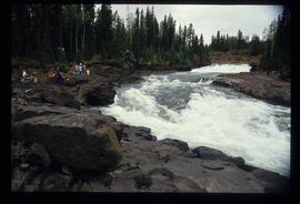
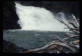
Image depicts the Cheslatta Falls.
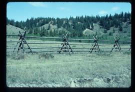
Image depicts a fence, perhaps somewhere in the Chilcotin region.
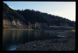
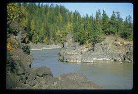
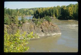
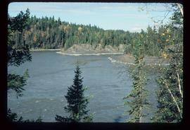
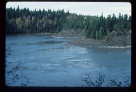
Image depicts the Fraser River in Fort George Canyon Provincial Park, B.C.
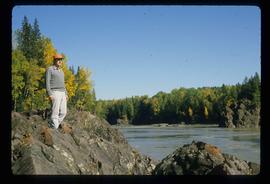
Image depicts the Fraser River, along with an unknown individual and his dog, in Fort George Canyon Provincial Park, B.C.
Image depicts the Fraser River in Fort George Canyon Provincial Park, B.C.
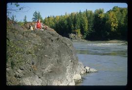
Image depicts the Fraser River, along with an unknown individual, in Fort George Canyon Provincial Park, B.C.
Image depicts the Fraser River in Fort George Canyon Provincial Park, B.C.
Image depicts the Fraser River in Fort George Canyon Provincial Park, B.C.
Image depicts the Fraser River in Fort George Canyon Provincial Park, B.C.
Image depicts the Fraser River in Fort George Canyon Provincial Park, B.C.
Image depicts the Fraser River in Fort George Canyon Provincial Park, B.C.
