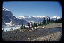
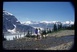
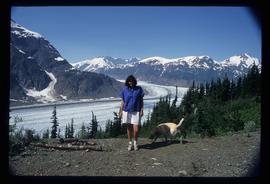
Image depicts Sue and Kent Sedgwick with two dogs, standing with the Bear Glacier in the background.
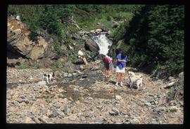
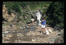
Image depicts three individuals and three dogs standing by a stream at an uncertain location, possibly somewhere in Bear Glacier Provincial Park. The woman in purple is possibly Sue Sedgwick.
Image depicts two individuals and three dogs standing by a stream at an uncertain location, possibly somewhere in Bear Glacier Provincial Park. The woman in purple is possibly Sue Sedgwick.
Image depicts Sue and Kent Sedgwick with two dogs, standing with the Bear Glacier in the background.
Image depicts Sue Sedgwick with a dog, standing with the Bear Glacier in the background.
File consists of notes, clippings, and reproductions relating to the new Alexander Mackenzie monument in Fort George Park (renamed Lheidli T'enneh Memorial Park). Includes: "British Columbia Heritage Brigade Journey" pamphlet from Parks Canada and Canoe Sport B.C. (1985); "Alexander Mackenzie Trail Association" newsletter No. 9 (1987); "Alexander Mackenzie Voyageur Association" newsletter No. 36 (1994); and correspondence letters between John D. Adams, Supervisor of Interpretation and Heritage Site operations for the Province of British Columbia and Kent Sedgwick (Apr.- May 1986). Also includes photographs depicting the new Alexander Mackenzie monument and people at the unveiling (1985).
File consists of notes and reproductions relating to the survey of Prince George. Includes material on survey plans, lots in Prince George, original town planning, subdivision plans, and Kent Sedgwick's handwritten notes on surveying and town planning in Prince George. File primarily includes photopied maps depicting town lots and planning in Prince George. Includes: "RE: Title Search for Fairgrounds" typescript letter from Kent Sedgwick to Dr. Dick Rowe (26 Apr. 1990) and "Map showing South Fort George, Fort George (Central) and the additions surveyed in 1910 or later" reproduced map from the Fort George Tribune newspaper.
File consists of notes and reproductions relating to land exploration and surveying in British Columbia by Alfred R.C. Selwyn, who was a British geologist and public servant, director of the Geological Survey of Victoria from 1852 to 1869, director of the Geological Survey of Canada from 1869 to 1894, and President of the Royal Society of Canada from 1895 to 1896. Includes: "Photography: Mirror of the Past" American History magazine special edition (Sept. 1989) and a photocopied article "Ninety Years Later" by F.C. Swannell from The Beaver magazine (1956). File also includes reproduced photographs depicting scenes from Selwyn's exploration around British Columbia (1989).
File consists of notes, letters, and reproductions relating to the "Arrival of Steel" CN Railway plaque in Prince George. Includes: "Invitation" from the City of Prince George for the unveiling of the CN plaque (27 Jan. 1989) and correspondence letters between CN and the City of Prince George (1987-1989). Also includes photographs depicting the CN plaque and the unveiling ceremony (Jan. 1989).
File consists of notes, clippings, and reproductions relating to historic trails in British Columbia. Includes material on The Okanagan Brigade Trail; the exploration trails of Jean Caux (better known as Cataline); and Hudson's Bay Company brigade trails. Includes: "The Okanagan Brigade Trail" pamphlet from the Okanagan Historical Society (1986); "The Okanagan Brigade Trail in the South Okanagan" pamphlet by Bob Harris, Harley Hatfield, and Peter Tassie (1989); and "Historic Routes '82" symposium program (1982).
File consists of bound documents, plans, and reproductions. Includes: "Public input summary" spiral bound book from Parks Canada (Dec. 1985) and "Alexander Mackenzie Heritage Trail" bound book published by Parks Canada (17 July 1985).
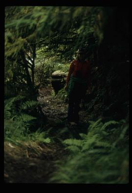
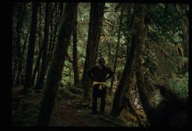
Image depicts an individual standing on a trail in the coastal forest on Haida Gwaii, B.C.
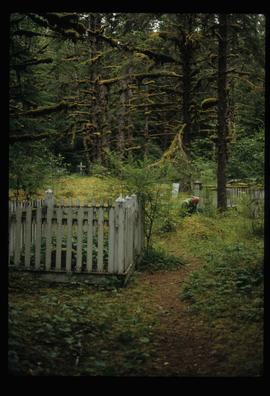
Image depicts an individual crouching in an old cemetery located somewhere in the coastal forest on Haida Gwaii, B.C.
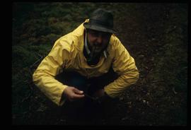
Image depicts Kent Sedgwick crouching and holding a stick; the slug on the end is barely visible. Located somewhere on Haida Gwaii.
Image depicts Kent Sedgwick standing in a forest somewhere on Haida Gwaii.
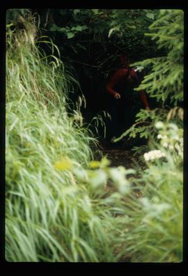
Image depicts an individual ducking under a tree branch somewhere in Haida Gwaii, B.C.
File consists of notes and reproductions relating a 1913 amendment to the Land Act, which is the British Columbia legislation used by the government to transfer land to the public for community, industrial, or business use. The 1913 amendment stated that land would be free to settlers with proof of three years residence or pre-empting unsurveyed or crown land after March 1913. File primarily consists of photocopied newspaper articles discussing the amendment.
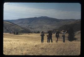
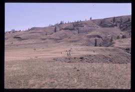
Image depicts a view of the landscape at an unknown location with a group of people, possibly tourists, present. It is possibly near the Fraser River.
File consists of notes, clippings, and reproductions relating to James C. Anderson and engineer J. Gill. James Anderson arrived in Fort George in 1912. Anderson did topographical surveys of the Fort George area for the Grand Trunk Pacific Railway between 1912 and 1913. Engineer J. Gill did a topographical survey of the Indian reserve for the Grand Trunk Pacific in 1912. Includes "Grand Trunk Pacific Maps" typescript document by Kent Sedgwick (3 June 1980).
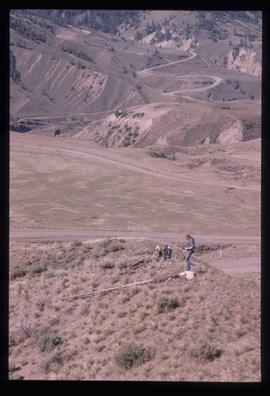
Image depicts a view of the landscape at an unknown location with a group of people, possibly tourists, present. It is possibly near the Fraser River.
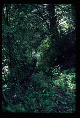
Image depicts an individual, possibly Kent Sedgwick, standing on a trail through a forest somewhere in or around Seton Portage, B.C.
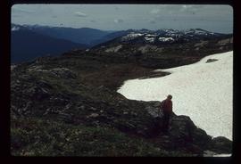
Image depicts an unknown individual and some snow located somewhere along the Murray Ridge.
File contains slides depicting old survey equipment and maps.
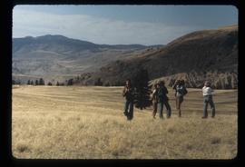
Image depicts a view of the scenery at an uncertain location with numerous individuals, possibly tourists, present. It is possibly somewhere near the Fraser River.
Image depicts a view of the scenery at an uncertain location with numerous individuals, possibly tourists, present. It is possibly somewhere near the Fraser River.
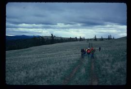
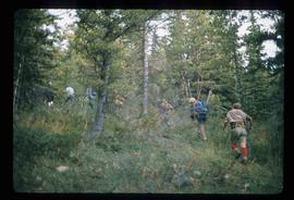
Image depicts a group of people hiking, possibly somewhere near Riske Creek, B.C.
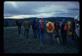
Image depicts a group of hikers listening to a man, possibly a guide, speak. The location is possibly near Riske Creek, B.C.
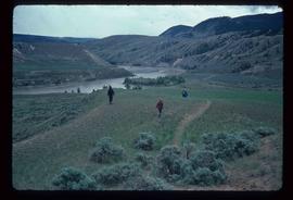
Image depicts a group of hikers hiking towards what is possibly the Chilcotin River.
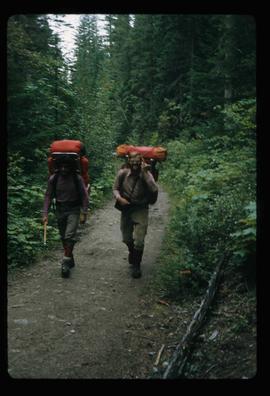
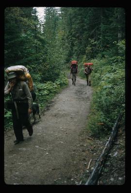
Image depicts two men on the hiking trail near Mt. Robson.
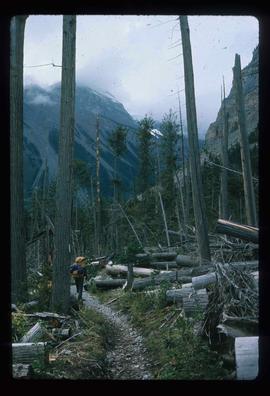
Image depicts a large number of felled trees, and an unknown individual standing on the path.
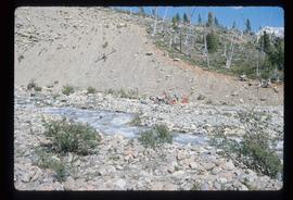
Image depicts a group of people on the rocky bank of a river somewhere near Mt. Robson.
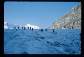
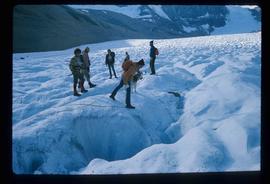
Image depicts a group of people hiking up a glacier, possibly the Robson Glacier.
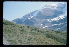
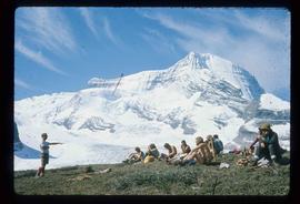
Image depicts a group of people standing on a hill, with what is possibly Mt. Robson in the background.
Image depicts a group of unknown individuals with a mountain in the background.
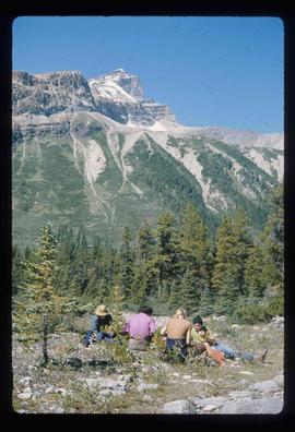
Image depicts a group of hikers somewhere in the Mt. Robson Provincial Park.
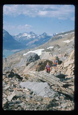
Image depicts a pair of hikers and a view of Mt. Robson Provincial Park.
Image depicts a view of Mt. Robson Provincial Park, with a group of hikers hiking up a mountain side in the foreground.
Image depicts three men and a dog on the hiking trail near Mt. Robson.
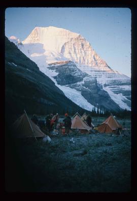
Image depicts a camp of people with Mt. Robson and the Berg Glacier in the background.
Image depicts five unknown individuals somewhere near Mt. Robson.
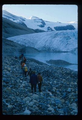
Image depicts a group of people heading towards a glacier, possibly the Robson Glacier.
Image depicts a group of people hiking on a glacier, possibly the Robson Glacier.
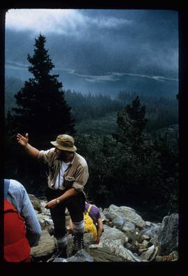
Image depicts a man talking to a group of hikers, with what is possibly Mt. Robson and the Robson Glacier in the background.
Image depicts an unknown individual reading inside a tent somewhere in Mt. Robson Provincial Park.
Image depicts a group of hikers somewhere in Mt. Robson Provincial Park.
Image depicts a group of people hiking through trees somewhere in Mt. Robson Provincial Park.
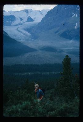
Image depicts a man, with what is possibly the Robson Glacier visible in the background.
Image depicts Kent Sedgwick speaking to a group of hikers.
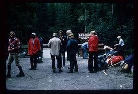
Image depicts a large group of individuals preparing to hike up Mt. Robson.
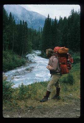
Image depicts a man on the hiking trail near Mt. Robson, with a river in the background; it is possibly the Robson River.
