File consists of notes and reproductions relating to Brett and Hall city planning work for Prince George. Brett & Hall were landscape architects from Boston, MA who designed the original plan for Prince George, including features such as the Crescents neighbourhood.
File consists of notes and reproductions relating to the survey of Prince George. Includes material on survey plans, lots in Prince George, original town planning, subdivision plans, and Kent Sedgwick's handwritten notes on surveying and town planning in Prince George. File primarily includes photopied maps depicting town lots and planning in Prince George. Includes: "RE: Title Search for Fairgrounds" typescript letter from Kent Sedgwick to Dr. Dick Rowe (26 Apr. 1990) and "Map showing South Fort George, Fort George (Central) and the additions surveyed in 1910 or later" reproduced map from the Fort George Tribune newspaper.
File consists of notes and reproductions relating to the boundary survey done by A.O. Wheeler, who was employed by British Columbia Government as a surveyor in 1922 to survey the boundary between British Columbia and Alberta.
File consists of notes, clippings, and reproductions relating to Frank Swannell, who was a surveyor in British Columbia that surveyed many areas across the province between 1898 and 1908.
File consists of notes and reproductions relating to land surveyors working in British Columbia. Includes material on Rupert Williams Haggen who became a land surveyor in 1911 and surveyed Prince George, Quesnel, Bowron River, and the Fraser River area below Quesnel; Henry Fry who worked in Victoria between 1871 and 1897; Otto Julius Klotz who surveyed the Alaska-British Columbia boundary and also surveyed for the Canadian Pacific Railway between 1871 to 1927; James Herrick McGregor who worked in the Kootenays and assisted for the survey of the British Columbia Alberta border between 1891 and 1903; and Forin Campbell who came to Prince George in 1908.
File consists of notes, clippings, and reproductions relating to James C. Anderson and engineer J. Gill. James Anderson arrived in Fort George in 1912. Anderson did topographical surveys of the Fort George area for the Grand Trunk Pacific Railway between 1912 and 1913. Engineer J. Gill did a topographical survey of the Indian reserve for the Grand Trunk Pacific in 1912. Includes "Grand Trunk Pacific Maps" typescript document by Kent Sedgwick (3 June 1980).
File consists of notes and reproductions relating to Fred Burden, a surveyor in British Columbia who surveyed tar sands in the Fort McMurray region and returned to Prince George in 1921 to complete a topographical survey of Prince George.
File contains slides depicting old survey equipment and maps.
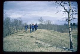
Image depicts a group of unidentified individuals walking along a crevasse filled ridge somewhere in the vicinity of Smithers, B.C. The slide also labels it as a "drift ridge."
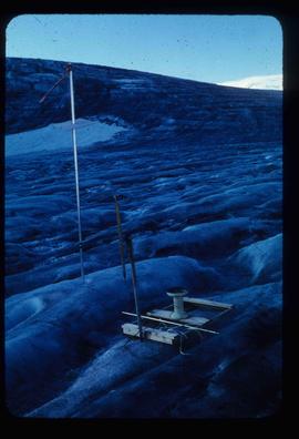
Image depicts objects, including a flag pole, that the slide labels as "survey equipment." The slide also places it as a "Peyto icefall," on the Peyto Galcier in the Banff National Park in Alberta, B.C.
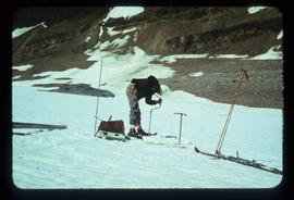
Image depicts an unidentified individual drilling into the ice.
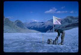
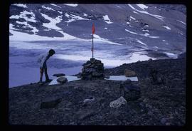
Image depicts an unidentified individual standing next to a marker and a stake at an uncertain location.
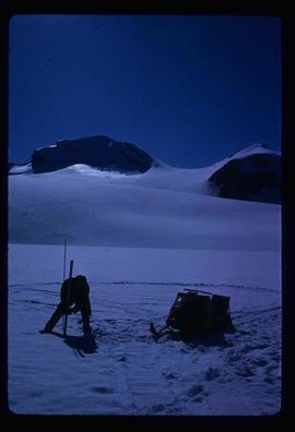
Image depicts an unidentified individual setting up some sort of pole in the snow for a process the slide labels as "snow sounding." The location is uncertain.
Image depicts a marker for aerial photography at an uncertain location. The slide labels it as "Elizabeth Station."
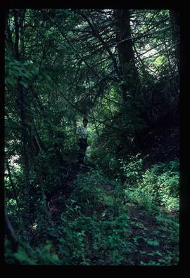
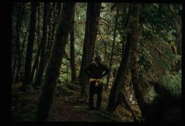
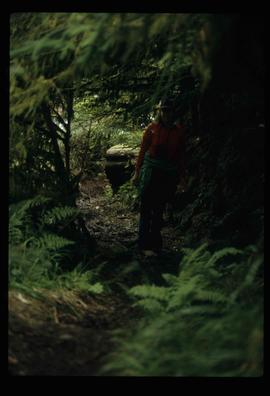
Image depicts an individual, possibly Kent Sedgwick, standing on a trail through a forest somewhere in or around Seton Portage, B.C.
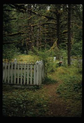
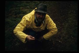
Image depicts an individual crouching in an old cemetery located somewhere in the coastal forest on Haida Gwaii, B.C.
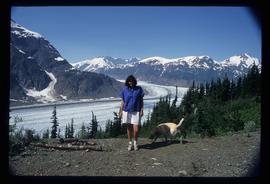
Image depicts Sue Sedgwick with a dog, standing with the Bear Glacier in the background.
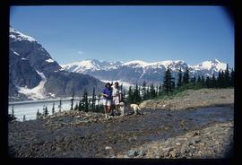
Image depicts Sue and Kent Sedgwick with two dogs, standing with the Bear Glacier in the background.
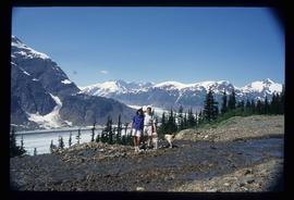
Image depicts Sue and Kent Sedgwick with two dogs, standing with the Bear Glacier in the background.
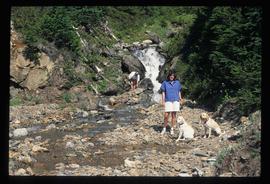
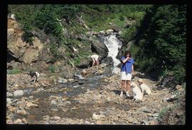
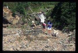
Image depicts two individuals and two dogs standing by a stream at an uncertain location, possibly somewhere in Bear Glacier Provincial Park. The woman in purple is possibly Sue Sedgwick.
Image depicts two individuals and three dogs standing by a stream at an uncertain location, possibly somewhere in Bear Glacier Provincial Park. The woman in purple is possibly Sue Sedgwick.
Image depicts three individuals and three dogs standing by a stream at an uncertain location, possibly somewhere in Bear Glacier Provincial Park. The woman in purple is possibly Sue Sedgwick.
Image depicts Kent Sedgwick crouching and holding a stick; the slug on the end is barely visible. Located somewhere on Haida Gwaii.
Image depicts Kent Sedgwick standing in a forest somewhere on Haida Gwaii.
Image depicts an individual standing on a trail in the coastal forest on Haida Gwaii, B.C.
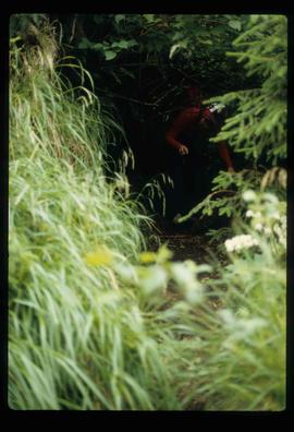
Image depicts an individual ducking under a tree branch somewhere in Haida Gwaii, B.C.
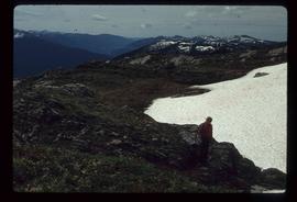
Image depicts an unknown individual and some snow located somewhere along the Murray Ridge.
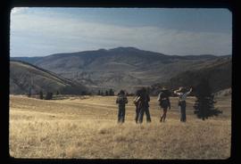
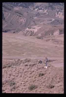
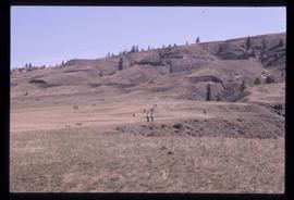
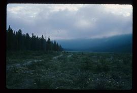
Image depicts a view of the landscape at an unknown location with a group of people, possibly tourists, present. It is possibly near the Fraser River.
Image depicts a view of the scenery at an uncertain location with numerous individuals, possibly tourists, present. It is possibly somewhere near the Fraser River.
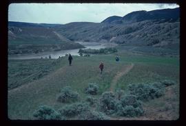
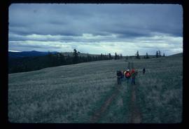
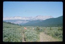
Image depicts a group of hikers hiking towards what is possibly the Chilcotin River.
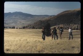
Image depicts a group of people hiking, possibly somewhere near Riske Creek, B.C.
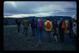
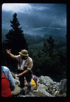
Image depicts a group of hikers listening to a man, possibly a guide, speak. The location is possibly near Riske Creek, B.C.
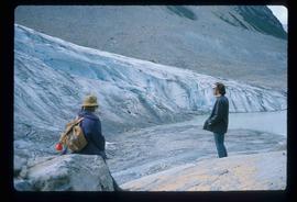
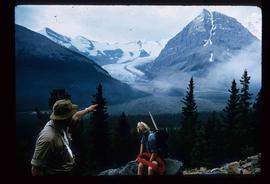
Image depicts two unknown individuals standing by a glacier somewhere in Mt. Robson Provincial Park.
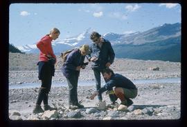
Image depicts four unknown individuals studying a plant.
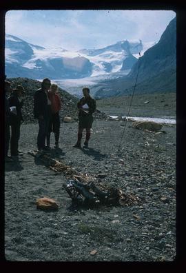
Image depicts a group of people standing near a river. A glacier is visible in the background.
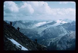
Image depicts a view of Mt. Robson Provincial Park, with a group of hikers hiking up a mountain side in the foreground.
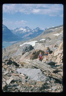
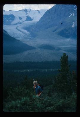
Image depicts a pair of hikers and a view of Mt. Robson Provincial Park.
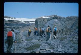
Image depicts a group of hikers hiking up a slope.
Image depicts Kent Sedgwick speaking to a group of hikers.
Image depicts Kent Sedgwick pointing out what is possibly the Robson Glacier in the background. Another, unknown individual is also present in the image.
Image depicts a man, with what is possibly the Robson Glacier visible in the background.
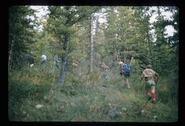
Image depicts a group of people hiking through trees somewhere in Mt. Robson Provincial Park.
Image depicts a group of hikers somewhere in Mt. Robson Provincial Park.
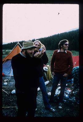
Image depicts Kent Sedgwick smoking a pipe at camp, with two other unknown individuals nearby.
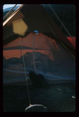
Image depicts an unknown individual reading inside a tent somewhere in Mt. Robson Provincial Park.
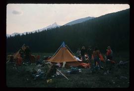
Image depicts a group of individuals at camp somewhere in Mt. Robson Provincial Park.
Image depicts a group of hikers somewhere in the Mt. Robson Provincial Park.
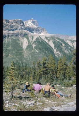
Image depicts a group of unknown individuals with a mountain in the background.
