Showing 118 results

Archival description
112 results with digital objects Show results with digital objects
Fur Trade
2012.13.1.039 · Deelreeks · [between 1978 and 2008]
Part of J. Kent Sedgwick fonds

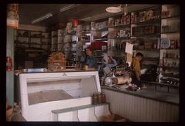
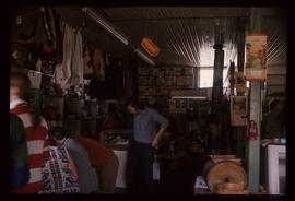
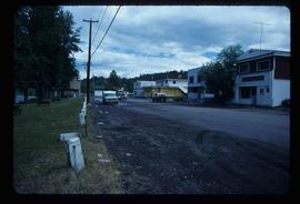
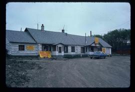
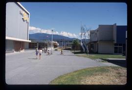
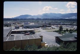
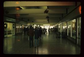
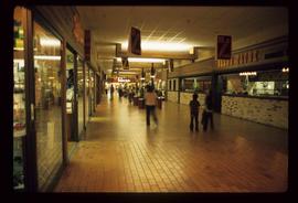
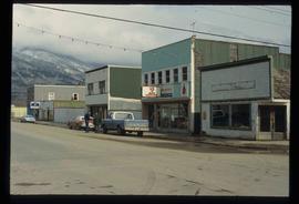
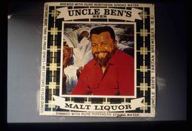
File contains slides depicting subjects related to the Fur Trade.

A Hotel
2012.13.1.59.27 · Stuk · July 1980
Part of J. Kent Sedgwick fonds

Image depicts a hotel in what appears to be a small community, possibly an outlying area of Bralorne, B.C.

A Motel?
2012.13.1.59.29 · Stuk · July 1980
Part of J. Kent Sedgwick fonds

Image depicts what appears to be a motel somewhere near Bralorne, B.C.

Likely
2012.13.1.69.03 · Stuk · July 1981
Part of J. Kent Sedgwick fonds

Image depicts numerous vehicles and individuals outside a hotel in Likely, B.C.

Mackenzie Centre
2012.13.1.70.05 · Stuk · May 1973
Part of J. Kent Sedgwick fonds

Image depicts numerous vehicles parked outside a building with a sign which reads "Mackenzie Centre;" it is possibly the mall in Mackenzie, B.C.

2012.13.1.85.64 · Stuk · [2004?]
Part of J. Kent Sedgwick fonds

Image depicts an abandoned building on the corner of a street in McBride, B.C. The faded letters on the side read: "McBride Trading Co. Mens Wear, Drugs, Equipment."

Upper Fraser General Store
2012.13.1.87.043 · Stuk · [between 1975 and 1995]
Part of J. Kent Sedgwick fonds

Image depicts the Upper Fraser General Store in Upper Fraser, B.C. Two other signs indicate that it is also a post office and a place that offers propane refills. Map coordinates 54°07'10.8"N 121°56'51.7"W

2012.13.1.87.067 · Stuk · [between 1975 and 1995]
Part of J. Kent Sedgwick fonds

Image depicts a row of buildings in Upper Fraser, B.C. with the store (titled "Paradise") with a Pepsi sign. Map coordinates 54°07'09.1"N 121°56'47.0"W

Street in Giscome - Before
2012.13.1.87.093 · Stuk · [between 1980 and 2000]
Part of J. Kent Sedgwick fonds

Image depicts a street in Giscome B.C. The Giscome Store is located on the left side of the image with the church in the background. Map coordinates 54°04'18.5"N 122°21'57.7"W

2012.13.1.87.104 · Stuk · [between 1975 and 1995]
Part of J. Kent Sedgwick fonds

Image depicts a snowy street in Willow River, B.C. There are several buildings, one is an Esso station and another is labelled as "Red & White Food Store."

2012.13.1.87.148 · Stuk · [between 1975 and 1995]
Part of J. Kent Sedgwick fonds

Image depicts an advertisement for an "Uncle Ben's Beer Malt Liquor" in the Willow River General Store. Map coordinates 54°04'23.7"N 122°28'26.9"W