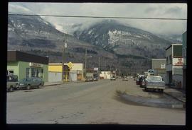
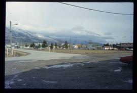
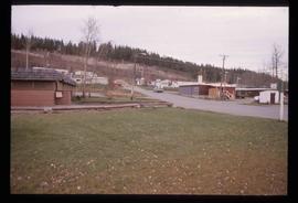
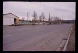
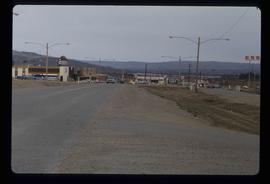
Image depicts a street in McBride, B.C.
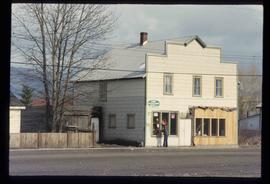
Image depicts a machine shop somewhere in McBride, B.C. The sign above the door reads "McBride Air Cooled Engine Services Ltd."
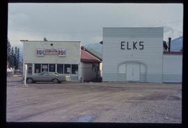
Image depicts the Elks Hall in McBride, B.C.
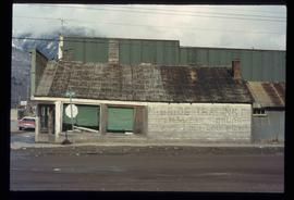
Image depicts an abandoned building on the corner of a street in McBride, B.C. The faded letters on the side read: "McBride Trading Co. Mens Wear, Drugs, Equipment."
Image depicts McBride, B.C.
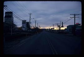
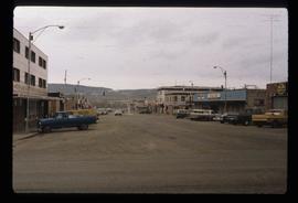
Image depicts a street in Hudson's Hope, B.C.
Image depicts a street with a building which is labelled "MacKeigan Enterprises Ltd." in Hudson's Hope, B.C.
Image depicts several businesses in a small section of Chetwynd, B.C. There is a motor hotel and a half-visible sign for an Esso gas station.
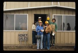
Image depicts several unidentified individuals standing in front of a store selling honey.
Image depicts a street of businesses in Dawson Creek, B.C.
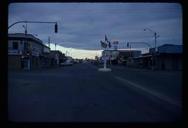
Image depicts a street of businesses and Mile "0" of the Alaskan Highway in Dawson Creek, B.C.
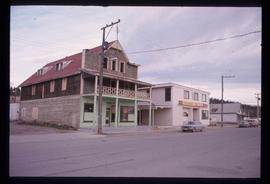
Image depicts an old, three-storey building beside a two-storey hotel in Hudson's Hope, B.C.
Image depicts Mile "0" of the Alaskan Highway in Dawson Creek, B.C.
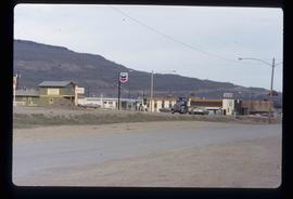
Image depicts a Chevron station as well as two motels in Chetwynd, B.C.
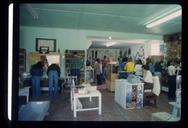
Image depicts the interior of a store, possibly in Fort St. John, B.C.
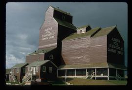
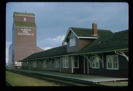
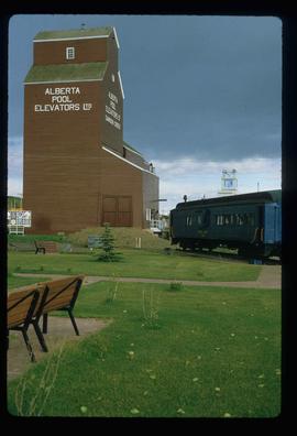
Image depicts a large building which is labelled "Alberta Pool Elevators Ltd. Dawson Creek," located in Dawson Creek, B.C.
Image depicts the Station Museum and the "Alberta Pool Elevators Ltd." building in Dawson Creek, B.C.
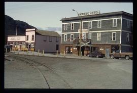
Image depicts the Caribou Hotel and the Matthew Watson General Store in Carcross, Y.T.
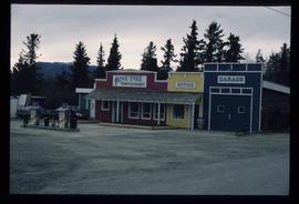
Image depicts the Pine Tree Restaurant in Atlin, B.C. It is possibly part of the Atlin Museum.
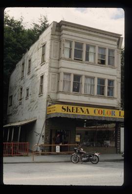
Image depicts an old building on the main street of Prince Rupert, B.C. Only half of the business name is visible: "Skeena Color [sic]."
Image depicts a large building which is labelled "Alberta Pool Elevators Ltd. Dawson Creek," located in Dawson Creek, B.C.
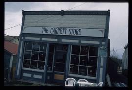
Image depicts the Garrett Store in Atlin, B.C. A plaque on it reads: "John Garrett, a prominent English cricket player, came to Atlin in 1910 to mine gold. In 1917 he opened this grocery and dry goods store where he also sold his wife's fresh baked bread and sweets."
File contains slides depicting subjects related to the Fur Trade.
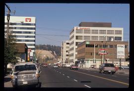
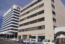
Image depicts downtown Prince George, B.C.
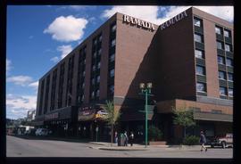
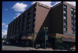
Image depicts the Ramada Hotel in Prince George, B.C.
Image depicts the Ramada Hotel in Prince George, B.C.
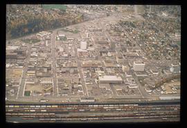
Image depicts an aerial view of downtown Prince George, B.C.
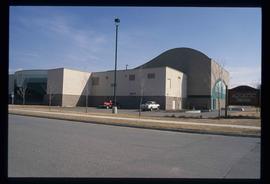
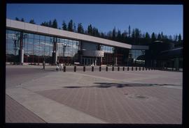
Image depicts the Aquatic Centre in Prince George, B.C.
Image depicts the Prince George Civic Centre.
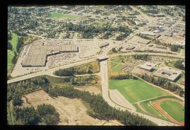
Image depicts an aerial view of Pine Centre Mall and Masich Place Stadium in Prince George, B.C.
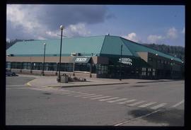
Image depicts the Prince George Multiplex.
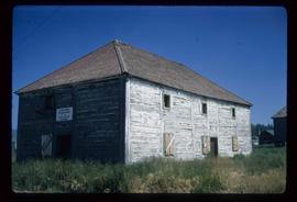
Image depicts the old Trading Outpost in Fort St. James, B.C.
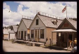
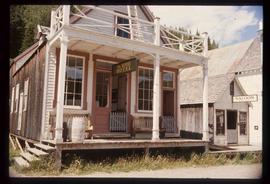
Image depicts the Wake Up Jake Saloon in Barkerville, as well as several other buildings.
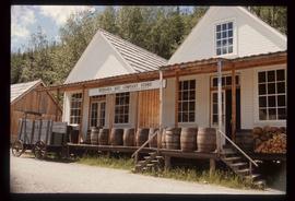
Image depicts the Hudson's Bay Company in Barkerville, B.C.
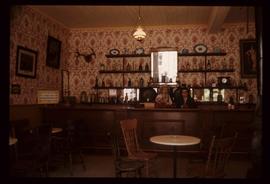
Image depicts the interior of the Wake Up Jake Saloon in Barkerville, B.C.
Image depicts the House Hotel in Barkerville, B.C.
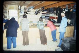
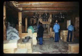
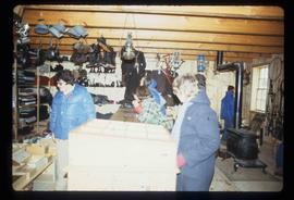
Image depicts the interior of the historic Hudson's Bay Company Trading Post, with several unknown individuals present, in Fort St. James, B.C.
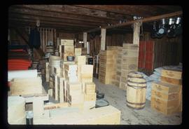
Image depicts the interior of the historic Hudson's Bay Company Trading Post in Fort St. James, B.C.
Image depicts the interior of the historic Hudson's Bay Company Trading Post, with several unknown individuals present, in Fort St. James, B.C.
Image depicts the interior of the historic Hudson's Bay Company Trading Post, with several unknown individuals present, in Fort St. James, B.C.
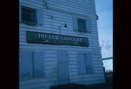
Image depicts a grocery store at Island Cache.
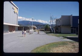
Image depicts numerous individuals passing in front of the Bay in Kitimat, B.C.
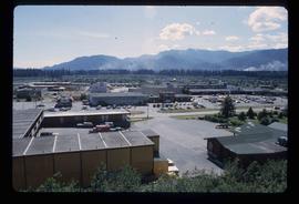
Image depicts numerous businesses, such as the Bay, Overwaitea, and Dairy Queen, somewhere in Kitimat, B.C.
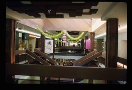
Image depicts the interior of a mall somewhere in Kitimat, B.C.
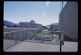
Image depicts several buildings in Kitimat, with the Bay being the tall one on the left.
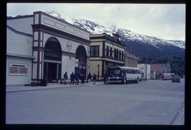
Image depicts the bus depot in Skagway, Alaska (USA).
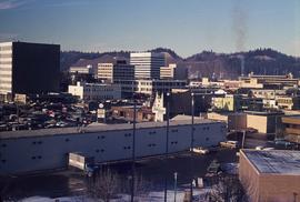
Image depicts downtown Prince George looking northwest across Dominion Street. Map coordinates 53°54'48.7"N 122°44'45.6"W
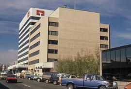
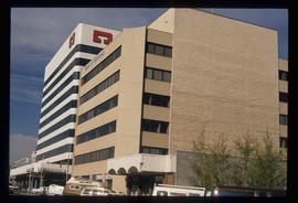
Image depicts 3rd Ave at Victoria St. Map coordinates 53°55'03.9"N 122°44'54.8"W
Image depicts 3rd Ave at Victoria St. Map coordinates 53°55'03.9"N 122°44'54.8"W
Image depicts 3rd Ave at Victoria St. Map coordinates 53°55'03.9"N 122°44'54.8"W
