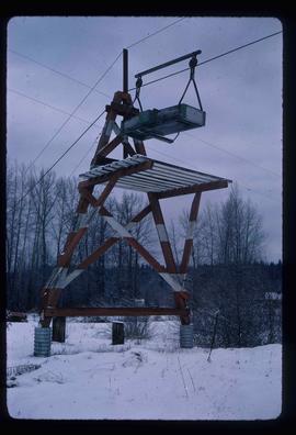
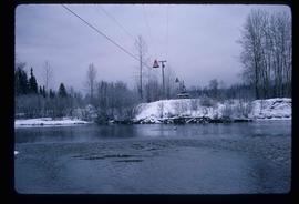
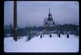
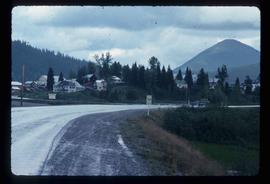
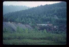
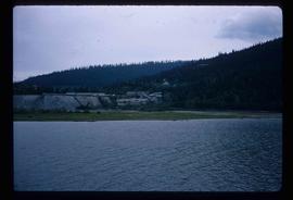
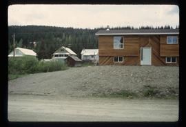
Image depicts the cableway in Willow River, B.C.
Image depicts the cableway, stretching over a river, in Willow River, B.C.
Image depicts the cableway in Willow River, B.C.
Image depicts the St. Joseph's Mission in Williams Lake, B.C.
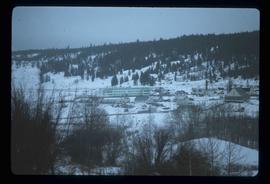
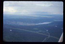
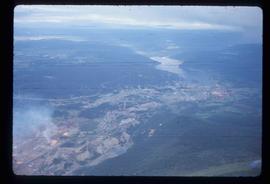
Image depicts an aerial view of Williams Lake, B.C.
Image depicts an aerial view of Williams Lake, B.C.
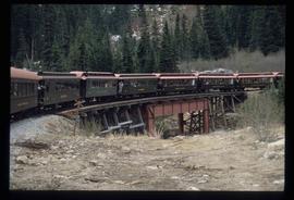
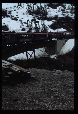
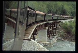
Image depicts the White Pass Train crossing over a railway bridge at an uncertain location.
Image depicts the White Pass Train crossing over a railway bridge at an uncertain location in the mountains.
Image depicts the White Pass Train crossing over a railway bridge at an uncertain location.
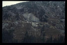
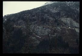
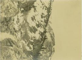
Image depicts a mountain side somewhere along the White Pass railway. The thin ridge along the mountain side is possibly either a highway or part of the railway.
Image depicts a mountain side somewhere along the White Pass railway. The thin ridge along the mountain side is possibly either a highway or part of the railway.
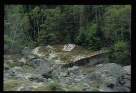
Image depicts a grave somewhere along the White Pass railway.
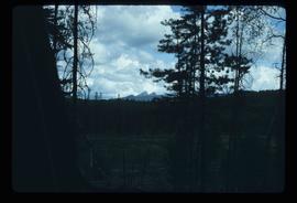
Image depicts woods located west of Leo Creek, with mountains in the distance.
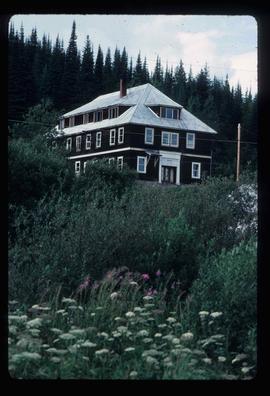
Photograph depicts the old hospital building in Wells. At the time the photo was taken, 1978, it was being used as an apartment building, and that is still its current use.
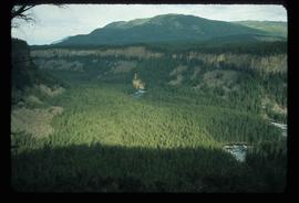
Image depicts the drainage area for the Helmcken Falls in Wells Gray Provincial Park.
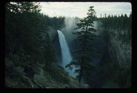
Image depicts the Helmcken Falls in Wells Gray Provincial Park.
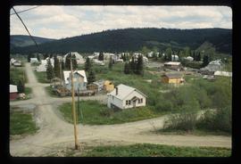
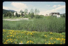
Image depicts Wells, B.C.
Image depicts Wells, B.C.
Image depicts Wells, B.C.
Image depicts Wells, B.C.
Image depicts Wells, B.C.
Image depicts Wells, B.C.
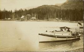
Archdeacon W.H. Collison and an unidentified man on the "Dawn," Collison's boat. Forested hills and several buildings are visible in the background. Handwritten annotation on verso reads: "The 'Dawn' Archdeacon Collison's boat."
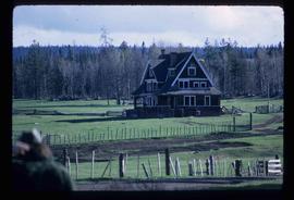
Image depicts the Watson Mansion at Mile 108 of Highway 97. It was built by Captain Geoffrey Watson in 1904, and was burned down by a chimney fire in 1983.
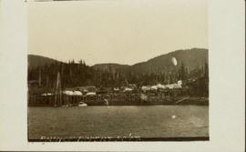
Wide angle view of Prince Rupert harbour taken from the water. Forest and mountains are visible in the background. Annotation on recto reads: "Prince Rupert BC '07."
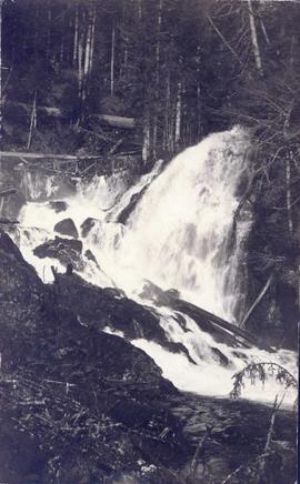
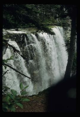
Photograph depicts a waterfall in a forested area with a riverbank in the foreground.
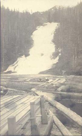
Photograph depicts piles of wood planks and log booms in the foreground with a waterfall in the background.
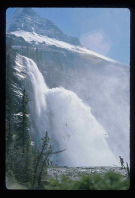
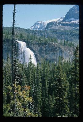
Image depicts a waterfall with a mountain peak in the background; it is most likely Mt. Robson.
Image depicts a waterfall in what is possibly the Robson River.
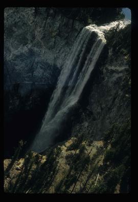
Image depicts a waterfall on a mountain side in Mt. Robson Provincial Park.
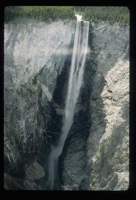
Image depicts a waterfall somewhere in South Tweedsmuir Provincial Park.
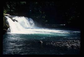
Image depicts a small waterfall at an uncertain location.
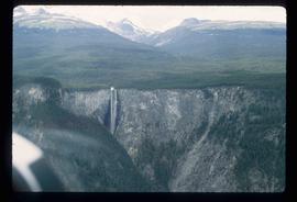
Image depicts an aerial view of a waterfall in South Tweedsmuir Provincial Park.
Image depicts an aerial view of a waterfall in South Tweedsmuir Provincial Park.
Image depicts an aerial view of a waterfall in South Tweedsmuir Provincial Park.
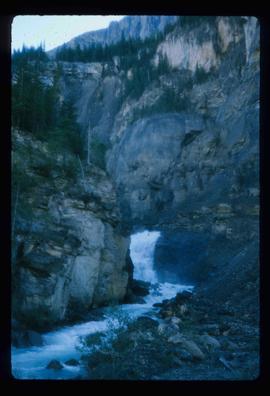
Photograph depicts a stream of water running through mountainous terrain.
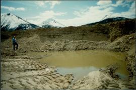
Photograph depicts an unidentified man standing to left of large puddle in gravel pit, mountain peaks in background. Photo speculated to have been taken on the plant, or near the Cassiar airstrip, facing south west. Stamped annotation on recto of photograph: "JUN. 1987".
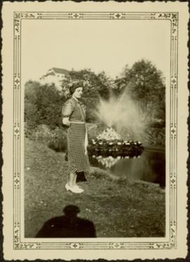
Unidentified woman stands on grass beside pond with water fountain. Trees and large building in background. Handwritten annotation on recto of photograph: "this was taken in August in the C.N.R. Gardens."
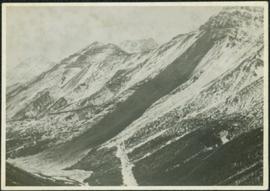
Photograph depicts large swath of dark waste down mountainside to right of valley. The waste dump is believed to be visible at top of swath on right of image. Bench mining visible on the North and South peak in background. Handwritten annotation on recto of photograph: "Oct. 25 / 65 4:25 PM."
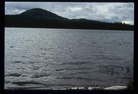
Image depicts War Lake.
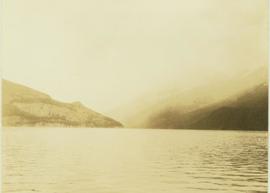
Photograph depicts Wapiti lake surrounded by an unidentified mountain range and a forested shoreline.
Photograph depicts Wapiti Lake surrounded by unidentified mountains and a forested shoreline.
Photograph depicts Wapiti Lake surrounded by unidentified mountains and a forested shoreline.
Photograph depicts Wapiti Lake as seen from the shoreline with an unidentified mountain in the background.
Photograph depicts Wapiti Lake with an unidentified mountain range in the background.
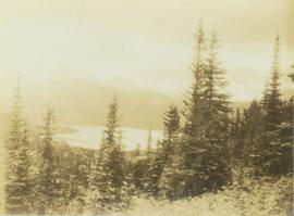
Photograph depicts Wapiti Lake and an unidentified mountain range seen from behind the trees of a forested slope.
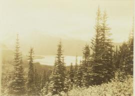
Photograph depicts Wapiti Lake and an unidentified mountain range as seen behind the trees of a forested slope.
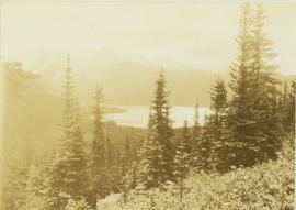
Photograph depicts Wapiti Lake and a mountain range seen behind the trees of a forested slope.
This fonds illustrates Walt Taylor’s activities as a social activist in the Okanagan region of B.C. in the 1970s, and his involvement with political-environmental activist movements in the Bulkley Valley-Telkwa-Smithers area c.1980s-1990s. The Taylor fonds includes records of the Skeena Round Table for a Sustainable Society, the Northwest Study Conference Society and the Waging Peace Society; as well as, background research compiled for Taylor’s publication "Waging Peace for a Living: An Action Plan for survival of life on earth", (Victoria: Trafford Publishing, 1999). The Taylor fonds also contains records of significance relating to proposed economic developments, such as open-pit mining, fishing and forestry policies and nuclear power; and documents pertaining to political-environmental actions conducted by Northern BC stakeholders such as First Nations (Gitskan and Wet'su'wet'en) and NGO’s such as the Telkwa Educational Action Committee of Householders. Types of records comprising this fonds include correspondence to and from activist organizations; circulars to society members; background papers on social activist issues; background reports on BC First Nations environmental and land claims issues, background studies on environmental & economic impacts of industrial developments proposed for Northern BC, newspaper clippings, and various publications.
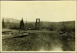
Taylor, WaltHandwritten annotation on recto of photograph: "Omineca Dist Walcott Suspension Bridge West Approach - looking East May 26 - 1932". Photograph depicts two white horses pulling a wagon in front of Walcott bridge. This bridge was moved from its original location in the Hagwilget Canyon, downstream from Walcott on the Bulkley River. It is a pedestrian bridge at the time of this photograph, though it was originally used by motor vehicles. Dirt road leading to bridge in foreground, with lumber and brush piles on either side. Trees and hills on opposite shore in background.
