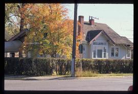
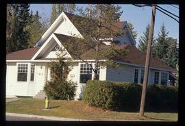
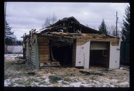
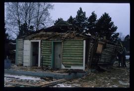
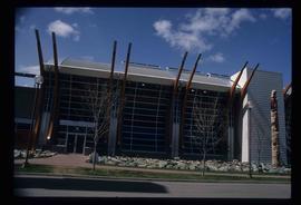
Image depicts the Fort George Park. Map coordinates 53°54'30.2"N 122°43'57.4"W
Image depicts a Bavarian style house at College Heights in Prince George, B.C.
Image depicts downtown Prince George looking northwest. Map coordinates 53°54'48.7"N 122°44'45.6"W
Image depicts a view of Prince George from City Hall looking northeast along George Street. Map coordinates 53°54'46.3"N 122°44'41.9"W
Image depicts the balcony of a log house, likely somewhere in or near Prince George B.C.
Image depicts a neighbourhood on the Hart Highway in Prince George, B.C.
Image depicts Parkside Intermediate Care Home on Ospika Boulevard in Prince George. Map coordinates 53°55'02.6"N 122°47'41.6"W
Image depicts 3rd Ave at Victoria St. Map coordinates 53°55'03.9"N 122°44'54.8"W
Image depicts George St in downtown Prince George with City Hall in the background. Also visible are the Prince George Hotel and a movie theatre. Map coordinates 53°54'55.0"N 122°44'36.1"W
Image depicts George St in downtown Prince George with City Hall in the background. Also visible are the Prince George Hotel, Ming's Inn Chinese Restaurant, Fraser Stationers Ltd., Weiner King food cart, and a movie theatre. Map coordinates 53°54'55.0"N 122°44'36.1"W
Image depicts Pine Centre Mall in Prince George, B. C. Map coordinates 53°53'53.2"N 122°46'36.4"W
Image depicts the Northwood pulpmill in Prince George B.C.
Image depicts the Yellowhead Bridge across the Fraser River. Map coordinates 53°54'45.2"N 122°43'27.9"W
Image depicts Mr. P.G. and the Tourism Information site at the intersection of Highway 16 and 97. Map coordinates 53°53'46.5"N 122°46'00.7"W
Image depicts a view of an experimental farm, possibly taken from Tabor Mountain.
Image depicts Prince George, possibly with the Northwood Pulpmill in the background.
Image depicts a sawmill, possibly Lakeland Sawmill, in Prince George B.C.
Image depicts a pulpmill, likely Northwood, in Prince George, B.C.
Image depicts Pineview on Buckhorn Lake Road, Prince George, B.C.
Image depicts the Northwood Bridge in Prince George, B.C.
Image depicts the Prince George Sawmill from the Northwood Bridge.
Image depicts Studio 2880 Arts Complex in Prince George, B.C. Map coordinates 53°54'36.9"N 122°46'30.3"W
Image depicts a log house located somewhere on Kerry Street in Prince George, B.C.
Image depicts two mills; the Intercontinental Pulp Mill is on the right in the foreground, and the Prince George Pulp and Paper Mill is on the left in the background. The picture is taken from the South, possibly off Yellowhead Bridge in Prince George, B.C.
Image depicts the Two Rivers Art Gallery in Prince George, B.C.
Image depicts a Lakewood view of Spruceland in Prince George, B.C.
Image depicts College Heights, particularly along Gladstone Drive, in Prince George, B.C.
Image depicts a trailer park by either the Fraser or Nechako River in Prince George, B.C.
Image depicts the intersection of 15th Ave and Highway 97 in Prince George, B.C.
Image depicts a bee-hive burner beside a rail-road track at an unidentified mill somewhere in Prince George, B.C.
Image depicts the Columbus Hotel in Prince George, which was destroyed by a fire in 2008.
Image depicts the Canadian Forces Recruiting Centre on the north side of 3rd Ave in Prince George, B.C.
File contains slides depicting schools in Prince George, B.C.
Image depicts the Fort George Regional Museum in Prince George, B.C.
Image depicts a house on the corner of 7th Ave and Vancouver Street in Prince George, B.C.
Image depicts a house on the corner of 12th Ave and Vancouver Street in Prince George, B.C.
Image depicts the Europe Hotel in Prince George prior to its demolition in the 1980s; however, the slide itself was only made in 1999 and the date of the photo is otherwise unknown, but most likely around 1979.
Image depicts a house in the process of being demolished in Prince George, B.C.
Image depicts the Lheidli T'enneh Burial Grounds in Fort George Park.
Image depicts the La Tienda Hair and Nail Salon on an uncertain street somewhere in Prince George, B.C.
Image depicts the CN Building in Prince George, B.C.
Image depicts a view of George Street with the Prince George City Hall at the corner of George Street and 7th Avenue.
Image depicts a view of George Street with the Prince George Hotel.
Image depicts a view of the corner of 3rd Avenue and Brunswick Street in Prince George, B.C.
Image depicts a view along Highway 97 in Prince George, B.C.
Image depicts the Two Rivers Art Gallery in Prince George, B.C.
Image depicts City Hall in Prince George, B.C.