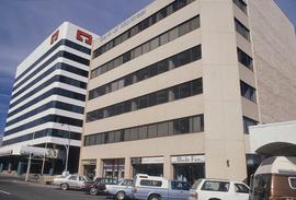
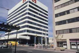
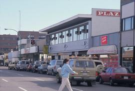
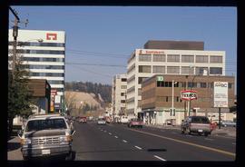
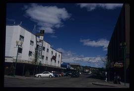
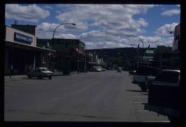
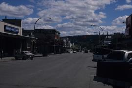
Image depicts 3rd Ave at Victoria St. Map coordinates 53°55'03.9"N 122°44'54.8"W
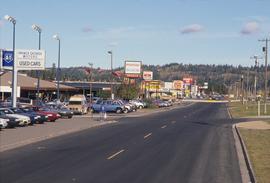
Image depicts Central Street West, parallel to Highway 97 in Prince George, B.C. looking north. Shown: Prince George Motors and other car dealerships, Burger King, Grama's Inn, and the Spruceland Shopping Mall sign. Map coordinates 53°54'42.1"N 122°46'53.1"W
Image depicts 3rd Ave at Victoria St. Map coordinates 53°55'03.9"N 122°44'54.8"W
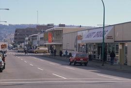
Image depicts 4th Ave at Brunswick St. and the following businesses: Hart Drugs, The Yarn Barn, and Saveco. Map coordinates 53°54'59.9"N 122°44'52.9"W
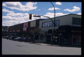
Image depicts 4th Ave at Quebec St, showing the following businesses: The Yarn Barn, Golden Chalice Jewellers, Dandy Lines, Ultrasport, and Saveco. Map coordinates 53°54'58.6"N 122°44'47.5"W
Image depicts downtown Prince George, B.C.
Consists of 1 DVD entitled "Harkins' History" consisting of clips from Bob Harkins TV interviews with various personalities in Prince George covering a range of topics related to local and regional history. DVD includes two sets of clips of segments broadcasted from October 1999 to June 2000.
Harkins, BobImage depicts the La Tienda Hair and Nail Salon on an uncertain street somewhere in Prince George, B.C.
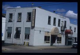
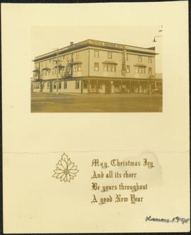
Image depicts a view of George Street with the Prince George Hotel.
Image depicts a view of the corner of 3rd Avenue and Brunswick Street in Prince George, B.C.
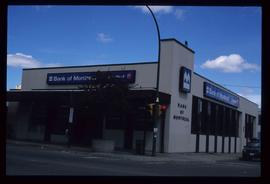
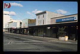
Image depicts the Bank of Montreal in Prince George, B.C.
Image depicts the Javva Mugga Mocha Cafe in Prince George, B.C.
Image depicts a view of 3rd Avenue with the Columbus Hotel prior to the fire that destroyed it in 2008.
Image depicts 3rd Ave in Prince George, B.C. Map coordinates 53°55'01.9"N 122°44'48.7"W
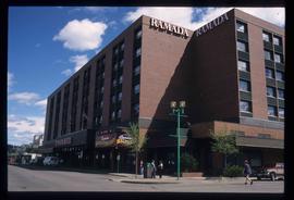
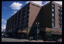
Image depicts the Ramada Hotel in Prince George, B.C.
Image depicts the Ramada Hotel in Prince George, B.C.
Image depicts a street of businesses, possibly 3rd Avenue, in Prince George, B.C.
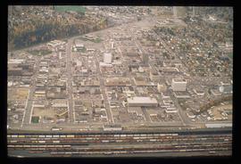
Image depicts an aerial view of downtown Prince George, B.C.
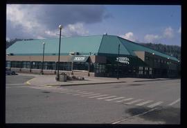
Image depicts the Aquatic Centre in Prince George, B.C.
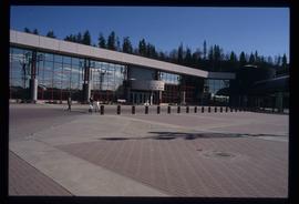
Image depicts the Prince George Civic Centre.
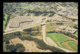
Image depicts an aerial view of Pine Centre Mall and Masich Place Stadium in Prince George, B.C.
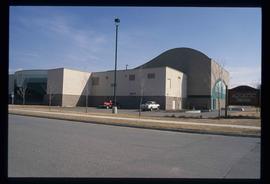
Image depicts the Prince George Multiplex.
Photograph features the hotel on George Street, Prince George BC. Handwritten annotation on verso of photograph reads: "Xmas [1948?]", on recto: "From Mr. & Mrs. Fask Douglas." Poem on verso reads: "May Christmas Joy And all its cheer Be yours throughout A good New Year".
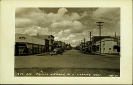
Postcard image depicts streetview looking west along 3rd Ave in Prince George, B.C. Storefronts and period automobiles are visible. Handwritten annotation on photographic negative, now visible along bottom of print image reads: "3rd Ave, Prince George B.C. Looking West. HND 41".
