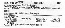
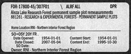
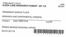
2007.1.30.8.6
·
Item
·
9 May 1997
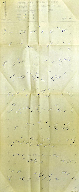
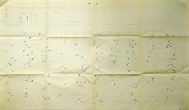
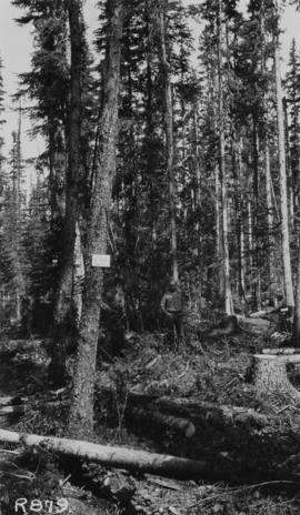
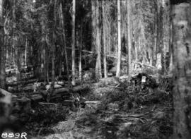
Parte de Aleza Lake Research Forest fonds
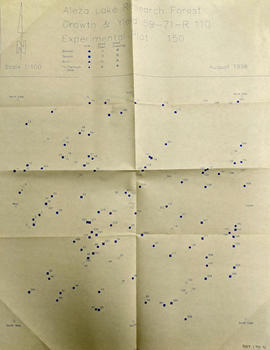
Map accompanies “Aleza Lake Research Forest Management and Working Plan #2 Draft #3”.