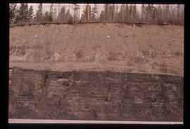
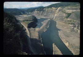
Image depicts a wall of rock with visible sediment layers at an uncertain location in the Peace River Region, possibly near Hudson's Hope.
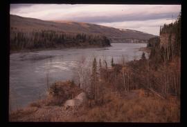
Image depicts the Peace River.
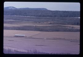
Image depicts a view of some farm land in Chetwynd, B.C.
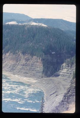
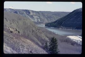
Image depicts the Peace River and visible layers of sediment deposits in the surrounding cliffs.
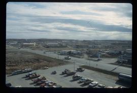
Image depicts a view of Fort St. John, B.C.
Image depicts the Peace River, possibly somewhere near Fort St. John, B.C.
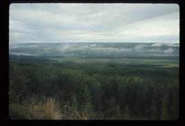
Image depicts an area of forests and fields somewhere near Fort St. John, B.C.
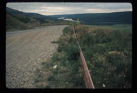
Image depicts a road with a guardrail and open fields somewhere near Dawson Creek, B.C.
Image depicts a section of the Peace River blocked off by the W.A.C. Bennett Dam. The dam itself is not visible in the image.
Consists of two photograph albums that illustrate Parker Bonney's early years as a Forest Engineer. Includes photographs of the expedition to the Nass Valley undertaken by Parker Bonney, Sam Brown, and others. May also include photographs of later surveying expeditions.
Sin título