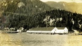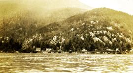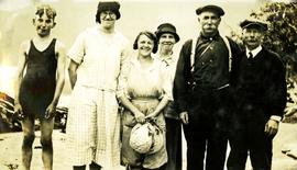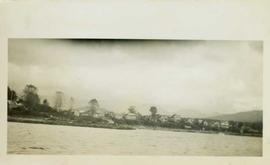
2009.10.1.40
·
Stuk
·
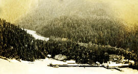
[July 1926]
Part of Fred Jeffery Photograph Collection
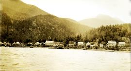
Photograph depicts an aerial view of a large cannery. There is a dense forest and a river in the background. Handwritten annotation below photograph reads, "Naas Harbour Cannery July 1926".