2000.1.1.1.02.03
·
Item
·
[June 1951?]
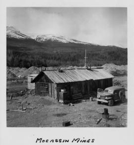
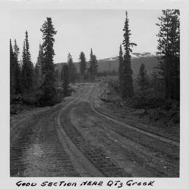
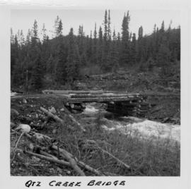
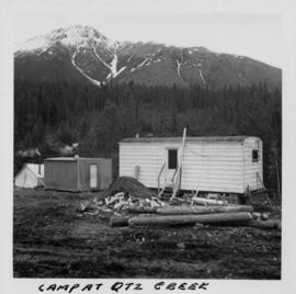
Parte de Cassiar Asbestos Corporation Ltd. fonds
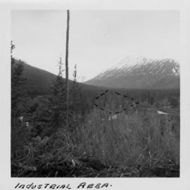
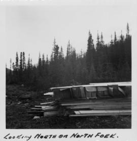
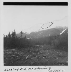
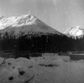
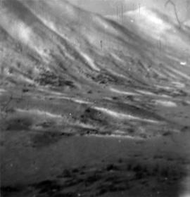
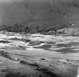
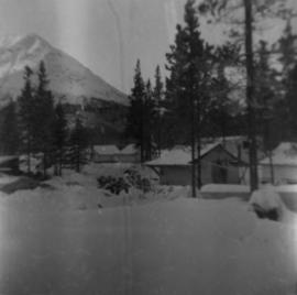
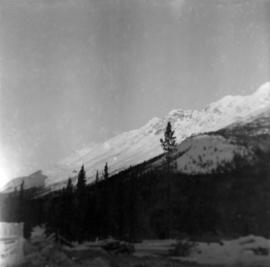
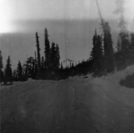
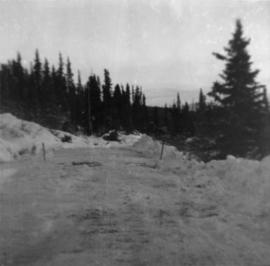
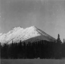
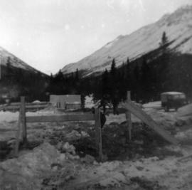
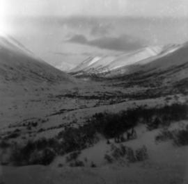
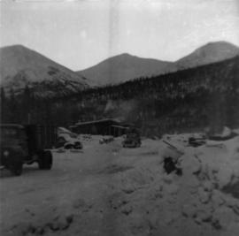
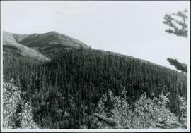
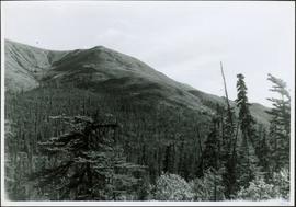
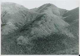
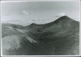
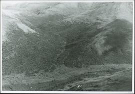
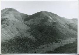
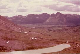
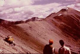
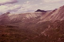
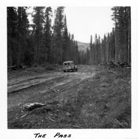
Photograph depicts a truck on a newly cleared dirt road in a mountain pass and a wooded area.