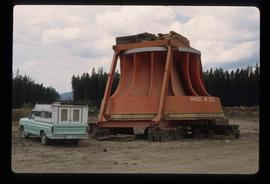
Image depicts an orange turbine in Fort St. John, B.C.
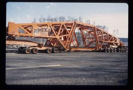
Image depicts a turbine on a large industrial vehicle somewhere in or near Fort St. John, B.C.
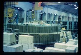
Image depicts numerous wood crates and large pieces of machinery in an unknown concrete structure, possibly somewhere in Fort St. John, B.C.
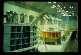
Image depicts a yellow turbine inside an unknown concrete structure, possibly somewhere in Fort St. John, B.C.
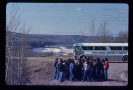
Image depicts a group of individuals and a bus with words that read: "Prince George Limousine & Charter." The river in the background is possibly the Peace River, and the location is possibly somewhere near Fort St. John, B.C.
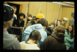
Image depicts a large group of people in a room at an uncertain location in the Peace River Region.
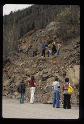
Image depicts numerous individuals who appear to be searching among the rocks on a ledge at an uncertain location in the Peace River Region.
Fonds consists of records relating to the personal, business and political life of H.G.T. Perry and as such, has been divided into the following four series: 1) Photographs; 2) Political Activities; 3) Business Ventures; 4) Personal Life; and 5) Miscellaneous Historical Information Files. Also includes material relating to his son, Frank Perry, and his failed political campaign. Includes World War II and Post-War printed materials.
Types of records included in this fonds include Speakers' Decisions (1877-1943) in the BC Legislative Assembly, maps, publications, reports, correspondence, advertisements, telegrams, resolutions, minutes, annual reports, telegrams, resolutions, reports, speeches, press releases, proposals, plans, charts, file notes, memoranda, newspaper clippings, scrapbooks, ephemera, postcards and photographs.
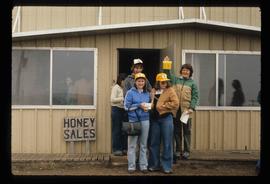
Perry, Harry G.T.Image depicts several unidentified individuals standing in front of a store selling honey.
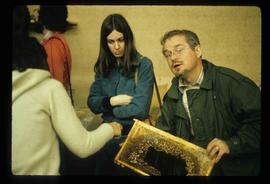
Image depicts an unidentified man holding what appears to be a broken screen of honeycombs. The group is likely at an educational event.
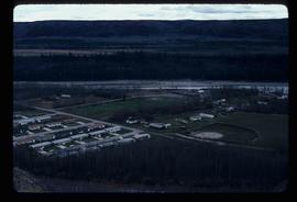
Image depicts a view of numerous houses and a ballpark at an uncertain location. It is possibly located somewhere in the Peace River Region.
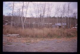
Image depicts a cabin and several other buildings, possibly located in Hudson's Hope, B.C.
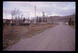
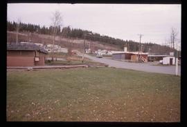
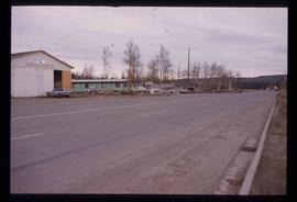
Image depicts a road and numerous buildings in Hudson's Hope, B.C.
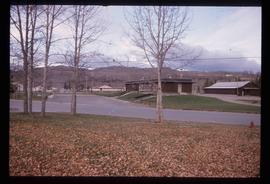
Image depicts a street in Hudson's Hope, B.C.
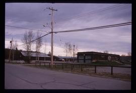
Image depicts what appears to be a Fire Hall in Hudson's Hope, B.C.
Image depicts what appears to be a Fire Hall in Hudson's Hope, B.C.
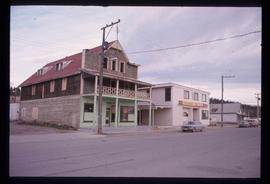
Image depicts an old, three-storey building beside a two-storey hotel in Hudson's Hope, B.C.
Image depicts two houses in Hudson's Hope, B.C.
Image depicts a street with a building which is labelled "MacKeigan Enterprises Ltd." in Hudson's Hope, B.C.
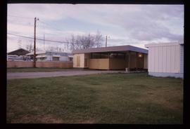
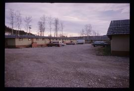
Image depicts what appears to be a motel in Hudson's Hope, B.C. The slide is labelled "camp HH."
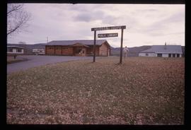
Image depicts the log building that acts as the public library in Hudson's Hope, B.C.
Image depicts the W.A.C. Bennett Dam in Hudson's Hope, B.C.
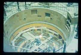
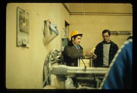
Image depicts two individuals at work inside what appears to be a piece of machinery. It is possibly located somewhere in Fort St. John, B.C.
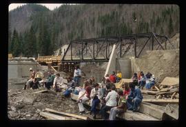
Image depicts a large group of people sitting and eating near a bridge at an uncertain location, though possibly near Hudson's Hope, B.C.
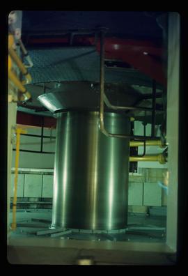
Image depicts a piece of machinery shaped like a large metal cylinder. It is possibly located somewhere in Fort St. John, B.C.
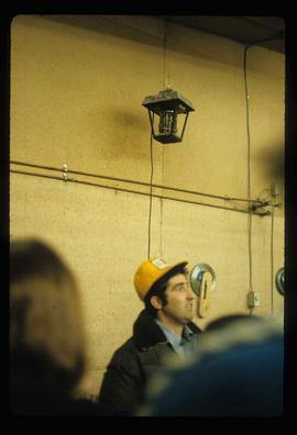
Image depicts an unidentified man in a yellow hat who appears to be speaking to large group of people. It is possibly an educational event.
Image depicts an unidentified man in a yellow hat who appears to be speaking to large group of people and showing them small pieces of wood. It is possibly an educational event.
Image depicts an obstructed view of Moberly Lake, located north of Chetwynd and south of Hudson's Hope, B.C.
Image depicts a delta at Moberly Lake north of Chetwynd and south of Hudson's Hope, B.C.
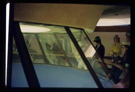
Image depicts a group of unidentified individuals look through an observatory window at an uncertain location, possibly in Fort St. John, B.C.
Consists of two photograph albums that illustrate Parker Bonney's early years as a Forest Engineer. Includes photographs of the expedition to the Nass Valley undertaken by Parker Bonney, Sam Brown, and others. May also include photographs of later surveying expeditions.
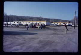
Bonney, ParkerImage depicts a group of people throwing a frisbee in a parking lot at an uncertain location, likely in the Peace River Region.
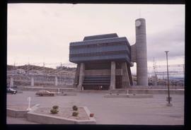
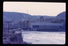
Image depicts the Peace Canyon Dam and generating station under construction on the Peace River.
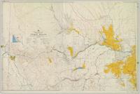
Colour-coded topographic map depicting surveyed lands alienated, available for purchase or lease, or available for pre-emption. Depicts land districts, land recording districts, parks, communities, bodies of water, transport routes, communication lines, and triangulation stations.
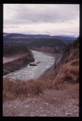
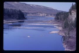
File contains slides depicting places along the Peace River.
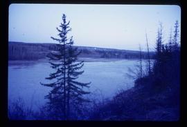
Image depicts the Peace River, possibly near Clayhurst or Hudson's Hope, B.C.
Image depicts the Peace River, possibly near Clayhurst or Hudson's Hope, B.C.
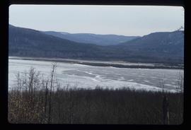
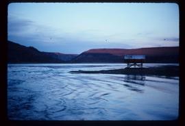
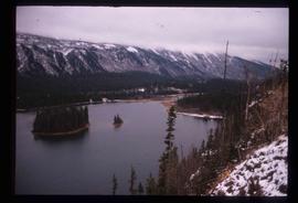
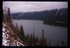
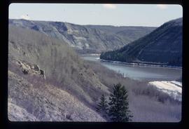
Image depicts what is possibly the Peace River.
Image depicts what is possibly the Peace River.
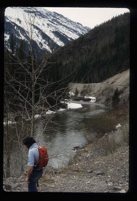
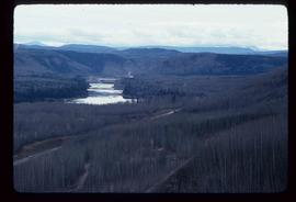
Image depicts a river, possibly the Peace River.
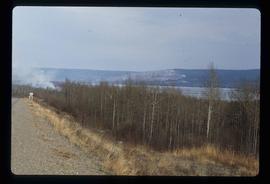
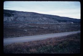
Image depicts what is possibly the Peace River running parallel to a road, possibly Highway 29.
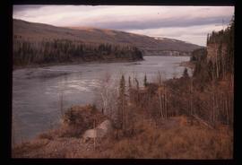
Image depicts the Peace River.
Image depicts the Peace River.
Image depicts the Peace River.
Image depicts the Peace River, possibly near Hudson's Hope, B.C.
Image depicts the Peace River.
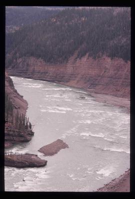
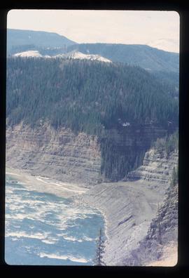
Image depicts the Peace River and visible layers of sediment deposits in the surrounding cliffs.
Image depicts the Peace River, possibly somewhere near Fort St. John, B.C.
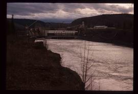
Image depicts a dam, possibly on the Peace River.
Image depicts a dam on what is possibly the Peace River.
