2013.6.36.1.002.104
·
Pièce
·
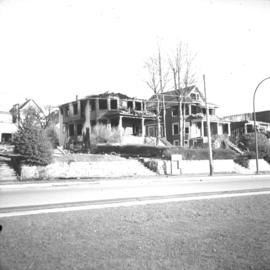
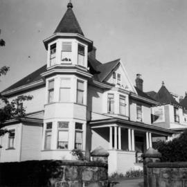
Apr. 1966
Fait partie de David Davies Railway Collection
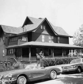
Photograph depicts a house on Nicola St. at the southwest corner of the intersection of Nicola and Robson St., in Vancouver, B.C.