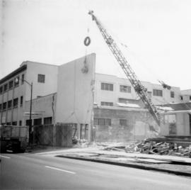
2013.6.36.1.002.089
·
Item
·
Mar. 1966
Part of David Davies Railway Collection
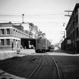
Photograph depicts the C.P.R. pier A.1. (now 12A) at Vancouver, B.C., slightly right of the foot of Thurlow St. It was built in 1890 and it is still in use. The view shows its east face.